UN
13 The Street
£ 352,000
Description
We don't have a Description for this property.
- Bedrooms
- 3
- Bathrooms
- 0
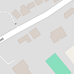


Leaflet © OpenStreetMap contributors
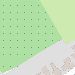
The heatmap indicates the level of crime in the area. The color of the heatmap indicates the crime severity and recency.
Metrics Year-on-Year
- Average area value
- 278,019.00 £Increased by 21.15 %
- Average area rental value
- 919.00 £/moDecreased by 8.01 %
- Est rental Yield
- 3.97 %Decreased by 23.95 %
- Crime Rate
- 90.00 %Unchanged by 0.00 %
from 229,480.00 £
from 999.00 £/mo
from 5.22 %
from 90.00 %
Nearby Schools
| Name | Type | Ofsted | Distance |
|---|---|---|---|
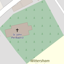
| Wittersham Church Of England Primary School | Voluntary Aided School | Good | 0.28 KM |
| Peasmarsh Ce Primary School | Children's Centre Linked Site | 4.82 KM | |
| Peasmarsh Church Of England Primary School | Voluntary Controlled School | Good | 4.85 KM |
| St Michael'S Church Of England Primary School | Voluntary Controlled School | Good | 6.22 KM |
| Tenterden Infant School | Academy Converter | Good | 6.38 KM |
Images
Nearby Streets
| Name | Average Price | Average Sqft | Distance |
|---|---|---|---|
| Acton Lane | £ 0 | 0 | 0.00 KM |
Nearby Transport
| Name | NLC | TLC | Distance |
|---|---|---|---|
| Rye (Sussex) | 5024 | RYE | 7.18 KM |
| Winchelsea | 5042 | WSE | 8.67 KM |
Nearby Listings
| Address | Price | Type | Score | Distance |
|---|---|---|---|---|
| The Street, Wittersham, Tenterden, Kent | £ 450,000 | BUY | 6 / 10 | 0.02 KM |
| The Street, Wittersham, TN30 | £ 995,000 | BUY | 7 / 10 | 0.07 KM |
| WITTERSHAM | £ 475,000 | BUY | 7 / 10 | 0.10 KM |
| The Street, Wittersham | £ 475,000 | BUY | 6 / 10 | 0.13 KM |
| The Street, Wittersham, Tenterden, Kent, TN30 | £ 460,000 | BUY | Unknown | 0.17 KM |
Nearby Properties
| Address | Price | Distance |
|---|---|---|
| 25 The Street | £ 250,000 | 0.00 KM |
| St. Lukes Hall | £ 265,000 | 0.00 KM |
| 15 The Street | £ 825,000 | 0.00 KM |
| 41 The Street | £ 600,000 | 0.00 KM |
| Cherry Tree House | £ 287,000 | 0.00 KM |