UN
1 Kennington Place
£ 635,000
Description
We don't have a Description for this property.
- Bedrooms
- 5
- Bathrooms
- 0

Leaflet © OpenStreetMap contributors
The heatmap indicates the level of crime in the area. The color of the heatmap indicates the crime severity and recency.
Metrics Year-on-Year
- Average area value
- 257,097.00 £Decreased by 8.25 %
- Average area rental value
- 956.00 £/moIncreased by 1.92 %
- Est rental Yield
- 4.46 %Increased by 10.95 %
- Crime Rate
- 6.00 %Unchanged by 0.00 %
from 280,201.00 £
from 938.00 £/mo
from 4.02 %
from 6.00 %
Nearby Schools
| Name | Type | Ofsted | Distance |
|---|---|---|---|
| Kennington Church Of England Academy | Academy Sponsor Led | Good | 0.43 KM |
| Phoenix Community Primary School | Foundation School | Good | 0.59 KM |
| Sure Steps Children'S Centre | Children's Centre | 0.59 KM | |
| Towers School And Sixth Form Centre | Academy Converter | Good | 0.60 KM |
| Downs View Infant School | Community School | Outstanding | 0.60 KM |
Images
Nearby Streets
| Name | Average Price | Average Sqft | Distance |
|---|---|---|---|
| Walnut Close | £ 300,000 | 0 | 0.00 KM |
| Rookery Close | £ 325,000 | 0 | 0.00 KM |
| Park Road | £ 525,000 | 0 | 0.00 KM |
| Grosvenor Road | £ 297,500 | 0 | 0.00 KM |
| Underwood Close | £ 0 | 0 | 0.00 KM |
Nearby Transport
| Name | NLC | TLC | Distance |
|---|---|---|---|
| Ashford International | 5004 | AFK | 2.95 KM |
| Wye | 5031 | WYE | 5.25 KM |
Nearby Listings
| Address | Price | Type | Score | Distance |
|---|---|---|---|---|
| Walnut Close, Kennington, TN24 | £ 365,000 | BUY | 6 / 10 | 0.04 KM |
| Kennington Place, Kennington, TN24 | £ 575,000 | BUY | 7 / 10 | 0.05 KM |
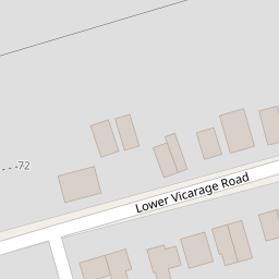
| Lower Vicarage Road, Kennington, Ashford, TN24 | £ 475,000 | BUY | 7 / 10 | 0.10 KM |
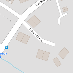
| Tabret Close, Kennington, Ashford, Kent | £ 375,000 | BUY | 7 / 10 | 0.15 KM |
| Faversham Road, Kennington, Ashford, Kent | £ 425,000 | BUY | Unknown | 0.20 KM |
Nearby Properties
| Address | Price | Distance |
|---|---|---|
| 9 Kennington Place | £ 488,000 | 0.00 KM |
| 2 Kennington Place | £ 420,000 | 0.00 KM |
| 6 Kennington Place | £ 355,000 | 0.00 KM |
| 7 Kennington Place | £ 445,000 | 0.00 KM |
| 3 Kennington Place | £ 530,000 | 0.00 KM |