UN
7 Rowland Drive
£ 260,000
Description
We don't have a Description for this property.
- Bedrooms
- 3
- Bathrooms
- 0
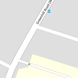
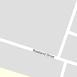

Leaflet © OpenStreetMap contributors
The heatmap indicates the level of crime in the area. The color of the heatmap indicates the crime severity and recency.
Metrics Year-on-Year
- Average area value
- 381,799.00 £Decreased by 2.78 %
- Average area rental value
- 1,864.00 £/moIncreased by 5.07 %
- Est rental Yield
- 5.86 %Increased by 8.12 %
- Crime Rate
- 11.00 %Unchanged by 0.00 %
from 392,701.00 £
from 1,774.00 £/mo
from 5.42 %
from 11.00 %
Nearby Schools
| Name | Type | Ofsted | Distance |
|---|---|---|---|
| Briary Primary School | Academy Converter | 0.07 KM | |
| Briary Children'S Centre | Children's Centre Linked Site | 0.39 KM | |
| Hampton Primary School | Academy Converter | Good | 0.79 KM |
| Herne Bay High School | Academy Converter | Good | 1.14 KM |
| Fairlight Glen Independent Special School | Other Independent Special School | Good | 2.18 KM |
Images
Nearby Streets
| Name | Average Price | Average Sqft | Distance |
|---|---|---|---|
| Hawthornden Street | £ 0 | 0 | 0.00 KM |
| Beaumont Street | £ 382,500 | 0 | 0.00 KM |
| Sussex Close Path | £ 300,000 | 0 | 0.00 KM |
| Wentworth Gardens | £ 525,000 | 0 | 0.00 KM |
| Lovell Close | £ 0 | 0 | 0.00 KM |
Nearby Transport
| Name | NLC | TLC | Distance |
|---|---|---|---|
| Herne Bay | 5174 | HNB | 1.80 KM |
| Chestfield And Swalecliffe | 5200 | CSW | 3.97 KM |
| Sturry | 5029 | STU | 6.72 KM |
| Whitstable | 5196 | WHI | 7.68 KM |
| Canterbury West | 5007 | CBW | 8.78 KM |
Nearby Listings
| Address | Price | Type | Score | Distance |
|---|---|---|---|---|
| Greenhill Road, Herne Bay, CT6 | £ 425,000 | BUY | Unknown | 0.12 KM |
| Greenhill Road, Herne Bay, CT6 | £ 300,000 | BUY | 5 / 10 | 0.12 KM |
| Greenhill Road, Herne Bay, CT6 | £ 450,000 | BUY | 8 / 10 | 0.13 KM |
| Greenhill Road, Herne Bay | £ 345,000 | BUY | 6 / 10 | 0.14 KM |
| Matthews Road, Herne Bay, Kent, CT6 7SL | £ 280,000 | BUY | 6 / 10 | 0.23 KM |
Nearby Properties
| Address | Price | Distance |
|---|---|---|
| 10 Rowland Drive | £ 207,000 | 0.00 KM |
| 6 Rowland Drive | £ 160,000 | 0.00 KM |
| 3 Rowland Drive | £ 205,000 | 0.00 KM |
| 4 Rowland Drive | £ 180,000 | 0.00 KM |
| 13 Rowland Drive | £ 290,000 | 0.00 KM |