UN
36 Wynn Road
£ 363,505
Description
We don't have a Description for this property.
- Bedrooms
- 3
- Bathrooms
- 0
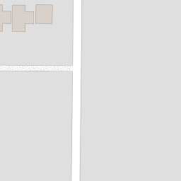
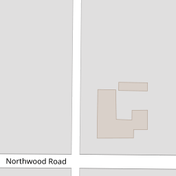
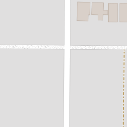
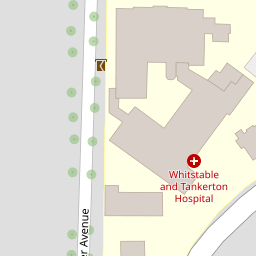

Leaflet © OpenStreetMap contributors
The heatmap indicates the level of crime in the area. The color of the heatmap indicates the crime severity and recency.
Metrics Year-on-Year
- Average area value
- 597,609.00 £Decreased by 21.29 %
- Average area rental value
- 1,299.00 £/moDecreased by 27.63 %
- Est rental Yield
- 2.61 %Decreased by 8.10 %
- Crime Rate
- 0.00 %
from 759,262.00 £
from 1,795.00 £/mo
from 2.84 %
from 0.00 %
Nearby Schools
| Name | Type | Ofsted | Distance |
|---|---|---|---|
| St Mary'S Catholic Primary School, Whitstable | Academy Converter | Good | 1.08 KM |
| Swalecliffe Community Primary School | Foundation School | Good | 1.16 KM |
| Swalecliffe Children'S Centre | Children's Centre Linked Site | 1.22 KM | |
| The Whitstable School | Academy Converter | 1.53 KM | |
| Westmeads Community Infant School | Community School | Outstanding | 2.05 KM |
Images
Nearby Streets
| Name | Average Price | Average Sqft | Distance |
|---|---|---|---|
| Nursery Close | £ 0 | 0 | 0.00 KM |
| Newton Road | £ 499,950 | 0 | 0.00 KM |
| Juniper Close | £ 595,000 | 0 | 0.00 KM |
| The Crescent | £ 495,000 | 0 | 0.00 KM |
| Harvey Drive | £ 450,000 | 0 | 0.00 KM |
Nearby Transport
| Name | NLC | TLC | Distance |
|---|---|---|---|
| Whitstable | 5196 | WHI | 1.67 KM |
| Chestfield And Swalecliffe | 5200 | CSW | 2.09 KM |
| Herne Bay | 5174 | HNB | 7.71 KM |
| Canterbury West | 5007 | CBW | 9.03 KM |
Nearby Listings
| Address | Price | Type | Score | Distance |
|---|---|---|---|---|
| Wynn Road, Tankerton, Whitstable | £ 500,000 | BUY | 6 / 10 | 0.08 KM |
| Northwood Road, Whitstable, Kent | £ 270,000 | BUY | Unknown | 0.10 KM |
| Northwood Road, Whitstable, Kent | £ 178,500 | BUY | 5 / 10 | 0.10 KM |
| Manor Road, Tankerton, Whitstable | £ 545,000 | BUY | 7 / 10 | 0.12 KM |
| Manor Road, Tankerton, Whitstable | £ 850,000 | BUY | Unknown | 0.12 KM |
Nearby Properties
| Address | Price | Distance |
|---|---|---|
| 34a Wynn Road | £ 510,000 | 0.00 KM |
| 34c Wynn Road | £ 78,300 | 0.00 KM |
| 45 Wynn Road | £ 245,000 | 0.00 KM |
| 41 Wynn Road | £ 465,000 | 0.00 KM |
| 38 Wynn Road | £ 98,000 | 0.00 KM |