UN
8 Kirbys Lane
£ 42,500
Description
We don't have a Description for this property.
- Bedrooms
- 3
- Bathrooms
- 0
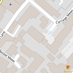
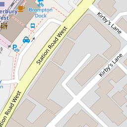


Leaflet © OpenStreetMap contributors
The heatmap indicates the level of crime in the area. The color of the heatmap indicates the crime severity and recency.
Metrics Year-on-Year
- Average area value
- 258,798.00 £Decreased by 0.12 %
- Average area rental value
- 1,121.00 £/moDecreased by 6.97 %
- Est rental Yield
- 5.20 %Decreased by 6.81 %
- Crime Rate
- 15.00 %Unchanged by 0.00 %
from 259,119.00 £
from 1,205.00 £/mo
from 5.58 %
from 15.00 %
Nearby Schools
| Name | Type | Ofsted | Distance |
|---|---|---|---|
| Bemix | Special Post 16 Institution | Requires improvement | 0.34 KM |
| St Peter'S Methodist Primary School | Voluntary Controlled School | Good | 0.39 KM |
| St Johns Church Of England Primary School | Voluntary Controlled School | Good | 0.73 KM |
| Riverside Children'S Centre (Canterbury) | Children's Centre | 0.90 KM | |
| The King'S School Canterbury | Other Independent School | 0.94 KM |
Images
Nearby Streets
| Name | Average Price | Average Sqft | Distance |
|---|---|---|---|
| The Causeway | £ 97,375 | 0 | 0.00 KM |
| The Spires | £ 0 | 0 | 0.00 KM |
| St. Peter's Street | £ 499,950 | 0 | 0.00 KM |
| Duck Lane | £ 90,000 | 0 | 0.00 KM |
| Greyfriars Lane | £ 600,000 | 0 | 0.00 KM |
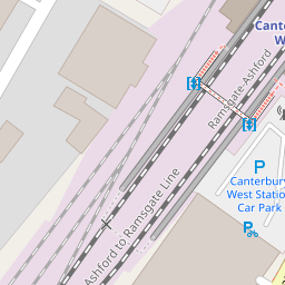
Nearby Transport
| Name | NLC | TLC | Distance |
|---|---|---|---|
| Canterbury West | 5007 | CBW | 0.14 KM |
| Canterbury East | 5164 | CBE | 1.01 KM |
| Sturry | 5029 | STU | 5.48 KM |
| Chartham | 5008 | CRT | 7.04 KM |
| Bekesbourne | 5198 | BKS | 7.14 KM |
Nearby Listings
| Address | Price | Type | Score | Distance |
|---|---|---|---|---|
| Kirby's Lane, Canterbury, Kent | £ 360,000 | BUY | 6 / 10 | 0.01 KM |
| Station Road West, Canterbury, Kent | £ 264,500 | BUY | 6 / 10 | 0.03 KM |
| Station Road West, Canterbury, Kent | £ 400,000 | BUY | 6 / 10 | 0.03 KM |
| Station Road West, Canterbury, Kent | £ 375,000 | BUY | 5 / 10 | 0.03 KM |
| Kirby`s Lane, Canterbury | £ 360,000 | BUY | 6 / 10 | 0.04 KM |
Nearby Properties
| Address | Price | Distance |
|---|---|---|
| 16 Kirbys Lane | £ 79,995 | 0.00 KM |
| 7 Kirbys Lane | £ 195,000 | 0.00 KM |
| 29 Kirbys Lane | £ 183,500 | 0.00 KM |
| 2 Kirbys Lane | £ 240,000 | 0.00 KM |
| 25 Kirbys Lane | £ 278,500 | 0.00 KM |