UN
27 Whiteheads Lane
£ 333,000
Description
We don't have a Description for this property.
- Bedrooms
- 2
- Bathrooms
- 0
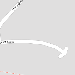


Leaflet © OpenStreetMap contributors
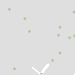
The heatmap indicates the level of crime in the area. The color of the heatmap indicates the crime severity and recency.
Metrics Year-on-Year
- Average area value
- 648,333.00 £Increased by 21.79 %
- Average area rental value
- 1,398.00 £/moDecreased by 2.92 %
- Est rental Yield
- 2.59 %Decreased by 20.31 %
- Crime Rate
- 2.00 %Unchanged by 0.00 %
from 532,315.00 £
from 1,440.00 £/mo
from 3.25 %
from 2.00 %
Nearby Schools
| Name | Type | Ofsted | Distance |
|---|---|---|---|
| Thurnham Church Of England Infant School | Voluntary Controlled School | Outstanding | 0.67 KM |
| Roseacre Junior School | Foundation School | Outstanding | 0.76 KM |
| Madginford Primary School | Community School | Good | 1.56 KM |
| Bearsted Primary Academy | Free Schools | 2.21 KM | |
| Snowfields Academy | Free Schools Special | 2.21 KM |
Images
Nearby Streets
| Name | Average Price | Average Sqft | Distance |
|---|---|---|---|
| Danefield Court | £ 602,167 | 0 | 0.00 KM |
| St. Faith's Lane | £ 0 | 0 | 0.00 KM |
| The Green (South) | £ 1,014,000 | 0 | 0.00 KM |
| Tower Gardens | £ 850,000 | 0 | 0.00 KM |
| Manor Court | £ 0 | 0 | 0.00 KM |
Nearby Transport
| Name | NLC | TLC | Distance |
|---|---|---|---|
| Bearsted | 5091 | BSD | 0.49 KM |
| Hollingbourne | 5141 | HBN | 5.68 KM |
| Maidstone East | 5115 | MDE | 6.19 KM |
| Maidstone West | 5222 | MDW | 6.76 KM |
| Maidstone Barracks | 5237 | MDB | 6.99 KM |
Nearby Listings
| Address | Price | Type | Score | Distance |
|---|---|---|---|---|
| Whiteheads Lane, Maidstone | £ 325,000 | BUY | 6 / 10 | 0.01 KM |
| Mount Lane, Bearsted, Maidstone | £ 400,000 | BUY | 7 / 10 | 0.13 KM |
| Mount Lane, Bearsted, Maidstone | £ 450,000 | BUY | 7 / 10 | 0.14 KM |
| Church Lane, Bearsted, Maidstone, Kent, ME14 | £ 1,150,000 | BUY | 8 / 10 | 0.19 KM |
| Church Lane, Bearsted | £ 800,000 | BUY | 7 / 10 | 0.20 KM |
Nearby Properties
| Address | Price | Distance |
|---|---|---|
| 11 Whiteheads Lane | £ 310,000 | 0.00 KM |
| 16 Whiteheads Lane | £ 215,000 | 0.00 KM |
| 12 Whiteheads Lane | £ 300,000 | 0.00 KM |
| 25 Whiteheads Lane | £ 430,100 | 0.00 KM |
| 10 Whiteheads Lane | £ 385,000 | 0.00 KM |