UN
6 Cornwallis Road
£ 60,000
Description
We don't have a Description for this property.
- Bedrooms
- 1
- Bathrooms
- 0
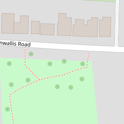
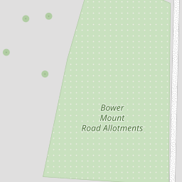
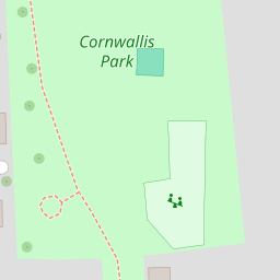


Leaflet © OpenStreetMap contributors
The heatmap indicates the level of crime in the area. The color of the heatmap indicates the crime severity and recency.
Metrics Year-on-Year
- Average area value
- 402,872.00 £Increased by 4.18 %
- Average area rental value
- 1,452.00 £/moIncreased by 11.95 %
- Est rental Yield
- 4.32 %Increased by 7.46 %
- Crime Rate
- 2.00 %Unchanged by 0.00 %
from 386,695.00 £
from 1,297.00 £/mo
from 4.02 %
from 2.00 %
Nearby Schools
| Name | Type | Ofsted | Distance |
|---|---|---|---|
| Maidstone And Malling Alternative Provision | Pupil Referral Unit | Good | 0.24 KM |
| Maidstone, St Michael'S Church Of England Junior School | Voluntary Controlled School | Good | 0.59 KM |
| St Michael'S Church Of England Infant School Maidstone | Voluntary Controlled School | Outstanding | 0.59 KM |
| Brunswick House Primary School | Community School | Good | 0.72 KM |
| St Augustine Academy | Academy Sponsor Led | Good | 0.89 KM |
Images
Nearby Streets
| Name | Average Price | Average Sqft | Distance |
|---|---|---|---|
| St Michael's Road | £ 462,500 | 0 | 0.00 KM |
| Orchard Place | £ 0 | 0 | 0.00 KM |
| Queen's Road | £ 235,000 | 0 | 0.00 KM |
| Speldhurst Court | £ 0 | 0 | 0.00 KM |
| Lower Tovil | £ 0 | 0 | 0.00 KM |
Nearby Transport
| Name | NLC | TLC | Distance |
|---|---|---|---|
| Maidstone Barracks | 5237 | MDB | 0.96 KM |
| Maidstone West | 5222 | MDW | 0.98 KM |
| Maidstone East | 5115 | MDE | 1.70 KM |
| East Farleigh | 5234 | EFL | 3.09 KM |
| Barming | 5133 | BMG | 3.43 KM |
Nearby Listings
| Address | Price | Type | Score | Distance |
|---|---|---|---|---|
| Cornwallis Road, Maidstone | £ 190,000 | BUY | 6 / 10 | 0.00 KM |
| Cornwallis Road, Maidstone | £ 210,000 | BUY | 6 / 10 | 0.01 KM |
| Cornwallis Road, Maidstone, Kent | £ 425,000 | BUY | Unknown | 0.02 KM |
| Cornwallis Road, Maidstone, Kent | £ 281,000 | BUY | Unknown | 0.02 KM |
| Cornwallis Road, Maidstone | £ 180,000 | BUY | Unknown | 0.10 KM |
Nearby Properties
| Address | Price | Distance |
|---|---|---|
| 7 Cornwallis Road | £ 220,000 | 0.00 KM |
| 10 Cornwallis Road | £ 209,500 | 0.00 KM |
| 46 Cornwallis Road | £ 238,000 | 0.00 KM |
| 30 Cornwallis Road | £ 190,000 | 0.00 KM |
| 24 Cornwallis Road | £ 243,000 | 0.00 KM |