UN
5 Port Rise
£ 300,000
Description
We don't have a Description for this property.
- Bedrooms
- 3
- Bathrooms
- 0
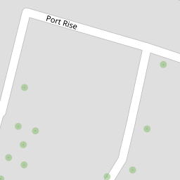
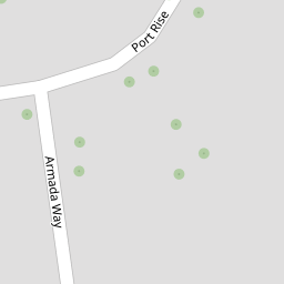

Leaflet © OpenStreetMap contributors
The heatmap indicates the level of crime in the area. The color of the heatmap indicates the crime severity and recency.
Metrics Year-on-Year
- Average area value
- 260,850.00 £Increased by 0.17 %
- Average area rental value
- 1,183.00 £/moIncreased by 13.64 %
- Est rental Yield
- 5.44 %Increased by 13.33 %
- Crime Rate
- 2.00 %Unchanged by 0.00 %
from 260,408.00 £
from 1,041.00 £/mo
from 4.80 %
from 2.00 %
Nearby Schools
| Name | Type | Ofsted | Distance |
|---|---|---|---|
| St Michael'S Rc Primary School | Voluntary Aided School | Good | 0.23 KM |
| St John'S Church Of England Infant School | Academy Converter | Good | 0.43 KM |
| Blue Skies School | Other Independent Special School | Requires improvement | 0.54 KM |
| St John Fisher Catholic Comprehensive School | Voluntary Aided School | Good | 0.69 KM |
| Phoenix Primary School | Academy Sponsor Led | Requires improvement | 0.72 KM |
Images
Nearby Streets
| Name | Average Price | Average Sqft | Distance |
|---|---|---|---|
| New Road | £ 231,105 | 0 | 0.00 KM |
| The Mount | £ 0 | 0 | 0.00 KM |
| St Alban's Walk | £ 0 | 0 | 0.00 KM |
| New Cut | £ 115,000 | 0 | 0.00 KM |
| Glencoe Road | £ 0 | 0 | 0.00 KM |
Nearby Transport
| Name | NLC | TLC | Distance |
|---|---|---|---|
| Chatham | 5199 | CTM | 0.36 KM |
| Rochester | 5203 | RTR | 1.68 KM |
| Gillingham (Kent) | 5169 | GLM | 3.06 KM |
| Strood (Kent) | 5191 | SOO | 3.29 KM |
| Cuxton | 5201 | CUX | 6.85 KM |
Nearby Listings
| Address | Price | Type | Score | Distance |
|---|---|---|---|---|
| Port Rise, Chatham, ME4 | £ 300,000 | BUY | 6 / 10 | 0.01 KM |
| Port Rise, Chatham, Kent, ME4 | £ 290,000 | BUY | 6 / 10 | 0.06 KM |
| Armada Way, Chatham, Kent, ME4 | £ 200,000 | BUY | Unknown | 0.10 KM |
| Westmount Avenue, Chatham, Kent | £ 395,000 | BUY | 6 / 10 | 0.11 KM |
| Armada Way, Chatham | £ 180,000 | BUY | 5 / 10 | 0.14 KM |
Nearby Properties
| Address | Price | Distance |
|---|---|---|
| 55 Port Rise | £ 243,000 | 0.00 KM |
| 23 Port Rise | £ 136,000 | 0.00 KM |
| 15 Port Rise | £ 199,995 | 0.00 KM |
| 84 Port Rise | £ 300,000 | 0.00 KM |
| 45 Port Rise | £ 145,000 | 0.00 KM |