UN
4 Cranmere Court
£ 240,000
Description
We don't have a Description for this property.
- Bedrooms
- 3
- Bathrooms
- 0
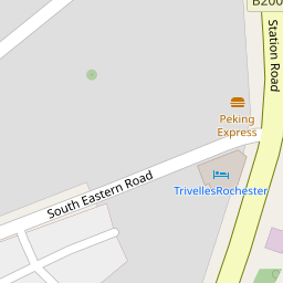
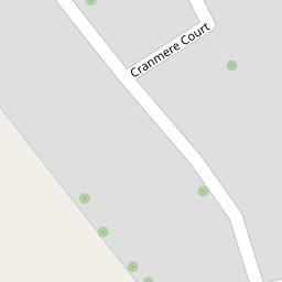

Leaflet © OpenStreetMap contributors
The heatmap indicates the level of crime in the area. The color of the heatmap indicates the crime severity and recency.
Metrics Year-on-Year
- Average area value
- 331,025.00 £Increased by 5.75 %
- Average area rental value
- 1,304.00 £/moDecreased by 9.63 %
- Est rental Yield
- 4.73 %Decreased by 14.47 %
- Crime Rate
- 1.00 %Unchanged by 0.00 %
from 313,022.00 £
from 1,443.00 £/mo
from 5.53 %
from 1.00 %
Nearby Schools
| Name | Type | Ofsted | Distance |
|---|---|---|---|
| English Martyrs' Catholic Primary School | Voluntary Aided School | Good | 0.45 KM |
| Hilltop Primary Academy | Academy Converter | 0.80 KM | |
| Gun Lane Children'S Centre | Children's Centre | 0.97 KM | |
| All Faiths Children'S Academy | Academy Converter | Good | 0.98 KM |
| King'S School, Rochester | Other Independent School | 1.07 KM |
Images
Nearby Streets
| Name | Average Price | Average Sqft | Distance |
|---|---|---|---|
| RRX60 | £ 280,000 | 0 | 0.00 KM |
| Taylor's Lane | £ 0 | 0 | 0.00 KM |
| RS124 | £ 380,000 | 0 | 0.00 KM |
| Edward Street | £ 0 | 0 | 0.00 KM |
| Deanery Gate | £ 0 | 0 | 0.00 KM |
Nearby Transport
| Name | NLC | TLC | Distance |
|---|---|---|---|
| Strood (Kent) | 5191 | SOO | 0.32 KM |
| Rochester | 5203 | RTR | 1.66 KM |
| Chatham | 5199 | CTM | 2.87 KM |
| Higham | 5202 | HGM | 5.09 KM |
| Cuxton | 5201 | CUX | 5.26 KM |
Nearby Listings
| Address | Price | Type | Score | Distance |
|---|---|---|---|---|
| Cranmere Court, Strood, Rochester, Kent | £ 290,000 | BUY | Unknown | 0.01 KM |
| Cranmere Court, Strood, ME2 | £ 325,000 | BUY | 6 / 10 | 0.01 KM |
| Cranmere Court, Strood, Rochester, ME2 4UN | £ 400,000 | BUY | Unknown | 0.06 KM |
| Cranmere Court, Strood, Rochester, Kent, ME2 | £ 400,000 | BUY | 6 / 10 | 0.10 KM |
| Station Road, Strood, Rochester, ME2 | £ 240,000 | BUY | 6 / 10 | 0.17 KM |
Nearby Properties
| Address | Price | Distance |
|---|---|---|
| 8 Cranmere Court | £ 210,000 | 0.00 KM |
| 42 Cranmere Court | £ 246,000 | 0.00 KM |
| 38 Cranmere Court | £ 295,000 | 0.00 KM |
| 7 Cranmere Court | £ 325,000 | 0.00 KM |
| 23 Cranmere Court | £ 144,995 | 0.00 KM |