UN
4 Stuart Close
£ 307,000
Description
We don't have a Description for this property.
- Bedrooms
- 3
- Bathrooms
- 0
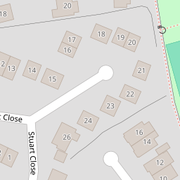
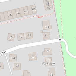
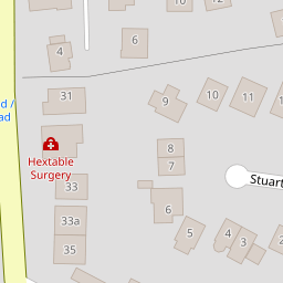
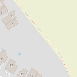

Leaflet © OpenStreetMap contributors
The heatmap indicates the level of crime in the area. The color of the heatmap indicates the crime severity and recency.
Metrics Year-on-Year
- Average area value
- 882,222.00 £Increased by 18.32 %
- Average area rental value
- 2,130.00 £/moDecreased by 15.31 %
- Est rental Yield
- 2.90 %Decreased by 28.40 %
- Crime Rate
- 14.00 %Unchanged by 0.00 %
from 745,607.00 £
from 2,515.00 £/mo
from 4.05 %
from 14.00 %
Nearby Schools
| Name | Type | Ofsted | Distance |
|---|---|---|---|
| Hextable Primary School | Community School | Good | 0.72 KM |
| St Pauls' Church Of England Voluntary Controlled Primary School | Voluntary Controlled School | Good | 1.28 KM |
| Downsview Community Primary School | Community School | Good | 1.50 KM |
| St Bartholomew'S Catholic Primary School, Swanley | Voluntary Aided School | Good | 1.58 KM |
| Swanley Children'S Centre | Children's Centre | 1.64 KM |
Images
Nearby Streets
| Name | Average Price | Average Sqft | Distance |
|---|---|---|---|
| Main Road | £ 0 | 0 | 0.00 KM |
| The Beeches | £ 0 | 0 | 0.00 KM |
| New Barn Road | £ 0 | 0 | 0.00 KM |
| Alexandra Close | £ 350,000 | 0 | 0.00 KM |
| Pemberton Gardens | £ 400,000 | 0 | 0.00 KM |
Nearby Transport
| Name | NLC | TLC | Distance |
|---|---|---|---|
| Swanley | 5075 | SAY | 2.40 KM |
| Crayford | 5100 | CRY | 4.40 KM |
| Bexley | 5093 | BXY | 5.29 KM |
| Eynsford | 5065 | EYN | 5.63 KM |
| Farningham Road | 5105 | FNR | 5.74 KM |
Nearby Listings
| Address | Price | Type | Score | Distance |
|---|---|---|---|---|
| Stuart Close, Hextable, Kent, BR8 | £ 450,000 | BUY | Unknown | 0.05 KM |
| Emersons Avenue, Hextable, Kent, BR8 | £ 750,000 | BUY | Unknown | 0.06 KM |
| Stuart Close, Hextable, Kent, BR8 | £ 595,000 | BUY | 7 / 10 | 0.07 KM |
| Millbro, Hextable, Swanley, Kent, BR8 | £ 500,000 | BUY | 6 / 10 | 0.14 KM |
| Victoria Hill Road, Hextable, Swanley | £ 400,000 | BUY | 6 / 10 | 0.15 KM |
Nearby Properties
| Address | Price | Distance |
|---|---|---|
| 3 Stuart Close | £ 314,995 | 0.00 KM |
| 6 Stuart Close | £ 390,000 | 0.00 KM |
| 25 Stuart Close | £ 129,000 | 0.00 KM |
| 14 Stuart Close | £ 452,000 | 0.00 KM |
| 13 Stuart Close | £ 270,000 | 0.00 KM |