UN
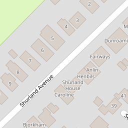
1 Shurland Avenue
£ 67,000
Description
We don't have a Description for this property.
- Bedrooms
- 0
- Bathrooms
- 0
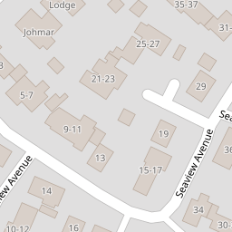

Leaflet © OpenStreetMap contributors
The heatmap indicates the level of crime in the area. The color of the heatmap indicates the crime severity and recency.
Metrics Year-on-Year
- Average area value
- 290,590.00 £Decreased by 12.49 %
- Average area rental value
- 1,288.00 £/moDecreased by 15.98 %
- Est rental Yield
- 5.32 %Decreased by 3.97 %
- Crime Rate
- 23.00 %Unchanged by 0.00 %
from 332,059.00 £
from 1,533.00 £/mo
from 5.54 %
from 23.00 %
Nearby Schools
| Name | Type | Ofsted | Distance |
|---|---|---|---|
| Beaches Children'S Centre | Children's Centre | 1.94 KM | |
| Eastchurch Church Of England Primary School | Academy Converter | 7.47 KM | |
| Graveney Primary School | Academy Converter | Good | 8.11 KM |
| Queen Elizabeth'S Grammar School | Academy Converter | Outstanding | 9.03 KM |
| Davington Primary School | Community School | Good | 9.20 KM |
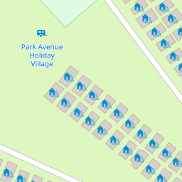
Images
Nearby Streets
| Name | Average Price | Average Sqft | Distance |
|---|---|---|---|
| The Promenade | £ 0 | 0 | 0.00 KM |
Nearby Transport
| Name | NLC | TLC | Distance |
|---|---|---|---|
| Faversham | 5167 | FAV | 9.86 KM |
Nearby Listings
| Address | Price | Type | Score | Distance |
|---|---|---|---|---|
| Seaview Avenue, Leysdown | £ 230,000 | BUY | 6 / 10 | 0.15 KM |
| Seaview Avenue, Leysdown-On-Sea, Sheerness, Kent | £ 220,000 | BUY | 6 / 10 | 0.18 KM |
| Wing Road, Leysdown | £ 275,000 | BUY | 6 / 10 | 0.19 KM |
| Seaview Avenue, Leysdown-on-Sea, Sheerness, Kent, ME12 | £ 230,000 | BUY | Unknown | 0.21 KM |
| Park Avenue, Holiday Village, Leysdown-on-Sea, Sheerness, ME12 | £ 23,000 | BUY | 5 / 10 | 0.24 KM |
Nearby Properties
| Address | Price | Distance |
|---|---|---|
| 2 Shurland Avenue | £ 335,000 | 0.00 KM |
| 5 Shurland Avenue | £ 315,000 | 0.00 KM |
| 8 Shurland Avenue | £ 193,000 | 0.00 KM |
| Bjorkham Lodge | £ 212,500 | 0.00 KM |
| 6 Shurland Avenue | £ 350,000 | 0.00 KM |