UN
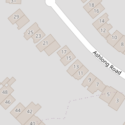
19 Ashlong Road
£ 335,000
Description
We don't have a Description for this property.
- Bedrooms
- 3
- Bathrooms
- 0
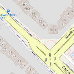
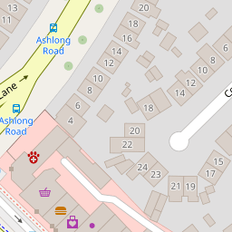

Leaflet © OpenStreetMap contributors
The heatmap indicates the level of crime in the area. The color of the heatmap indicates the crime severity and recency.
Metrics Year-on-Year
- Average area value
- 620,000.00 £Increased by 19.65 %
- Average area rental value
- 1,496.00 £/moDecreased by 23.44 %
- Est rental Yield
- 2.90 %Decreased by 35.98 %
- Crime Rate
- 18.00 %Unchanged by 0.00 %
from 518,187.00 £
from 1,954.00 £/mo
from 4.53 %
from 18.00 %
Nearby Schools
| Name | Type | Ofsted | Distance |
|---|---|---|---|
| New Marston Primary School | Academy Sponsor Led | Good | 0.52 KM |
| St Joseph'S Catholic Primary School, Oxford | Voluntary Aided School | Good | 0.75 KM |
| St Nicholas' Primary And Nursery School | Community School | Good | 0.76 KM |
| Oxfordshire Hospital School | Community Special School | Outstanding | 0.80 KM |
| The Swan School | Free Schools | 0.94 KM |
Images
Nearby Streets
| Name | Average Price | Average Sqft | Distance |
|---|---|---|---|
| Crotch Crescent | £ 400,000 | 0 | 0.00 KM |
| Arlington Drive | £ 0 | 0 | 0.00 KM |
| Butts Lane | £ 117,000 | 0 | 0.00 KM |
| Hill Farm Cottage | £ 0 | 0 | 0.00 KM |
| Foxtail Drive | £ 0 | 0 | 0.00 KM |
Nearby Transport
| Name | NLC | TLC | Distance |
|---|---|---|---|
| Oxford | 3115 | OXF | 4.55 KM |
| Oxford Parkway | 3121 | OXP | 6.07 KM |
| Islip | 3110 | ISP | 6.31 KM |
| Radley | 3118 | RAD | 9.30 KM |
Nearby Listings
| Address | Price | Type | Score | Distance |
|---|---|---|---|---|
| Ashlong Road, Headington, Oxford | £ 525,000 | BUY | 7 / 10 | 0.05 KM |
| Cherwell Drive, Marston, OX3 | £ 550,000 | BUY | 7 / 10 | 0.13 KM |
| Cherwell Drive, Marston, Oxford | £ 515,000 | BUY | 6 / 10 | 0.14 KM |
| Cherwell Drive, Marston, Oxford | £ 600,000 | BUY | Unknown | 0.14 KM |
| Horseman Close, Headington, Oxford | £ 520,000 | BUY | 6 / 10 | 0.16 KM |
Nearby Properties
| Address | Price | Distance |
|---|---|---|
| 35 Ashlong Road | £ 360,000 | 0.00 KM |
| 31 Ashlong Road | £ 281,000 | 0.00 KM |
| 12 Ashlong Road | £ 393,000 | 0.00 KM |
| 3 Ashlong Road | £ 512,500 | 0.00 KM |
| 18 Ashlong Road | £ 650,000 | 0.00 KM |