UN
1 Glebelands
£ 305,000
Description
We don't have a Description for this property.
- Bedrooms
- 1
- Bathrooms
- 0
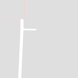
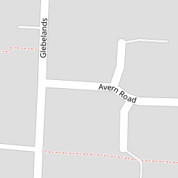
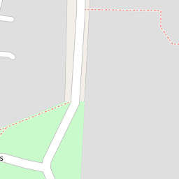


Leaflet © OpenStreetMap contributors
The heatmap indicates the level of crime in the area. The color of the heatmap indicates the crime severity and recency.
Metrics Year-on-Year
- Average area value
- 673,557.00 £Increased by 18.30 %
- Average area rental value
- 1,645.00 £/moDecreased by 14.28 %
- Est rental Yield
- 2.93 %Decreased by 27.48 %
- Crime Rate
- 13.00 %Unchanged by 0.00 %
from 569,340.00 £
from 1,919.00 £/mo
from 4.04 %
from 13.00 %
Nearby Schools
| Name | Type | Ofsted | Distance |
|---|---|---|---|
| St Alban'S Catholic Primary School | Academy Converter | Good | 0.32 KM |
| Chandlers Field Primary School | Foundation School | Good | 0.56 KM |
| Three Rivers Sure Start Children'S Centre | Children's Centre | 0.75 KM | |
| Hurst Park Primary School | Community School | Good | 1.18 KM |
| St Lawrence Cofe Aided Junior School, East Molesey | Voluntary Aided School | Good | 1.19 KM |
Images
Nearby Streets
| Name | Average Price | Average Sqft | Distance |
|---|---|---|---|
| The Fairway | £ 536,667 | 0 | 0.00 KM |
| Park Way | £ 890,000 | 0 | 0.00 KM |
| Kent Road | £ 1,166,650 | 0 | 0.00 KM |
| Windsor Avenue | £ 0 | 0 | 0.00 KM |
| Manor Road | £ 1,525,000 | 0 | 0.00 KM |
Nearby Transport
| Name | NLC | TLC | Distance |
|---|---|---|---|
| Hampton | 5560 | HMP | 1.92 KM |
| Hampton Court | 5561 | HMC | 2.50 KM |
| Esher | 5558 | ESH | 2.60 KM |
| Thames Ditton | 5610 | THD | 3.13 KM |
| Hersham | 5590 | HER | 3.77 KM |
Nearby Listings
| Address | Price | Type | Score | Distance |
|---|---|---|---|---|
| Glebelands, West Molesey, KT8 | £ 325,000 | BUY | 7 / 10 | 0.01 KM |
| Glebelands, West Molesey, KT8 | £ 565,000 | BUY | 6 / 10 | 0.01 KM |
| Glebelands, West Molesey | £ 499,950 | BUY | 7 / 10 | 0.03 KM |
| Grange Road, West Molesey, KT8 | £ 389,950 | BUY | Unknown | 0.08 KM |
| Beauchamp Road, West Molesey, KT8 | £ 325,000 | BUY | 7 / 10 | 0.11 KM |
Nearby Properties
| Address | Price | Distance |
|---|---|---|
| 29 Glebelands | £ 142,000 | 0.00 KM |
| 47 Glebelands | £ 202,500 | 0.00 KM |
| 25 Glebelands | £ 268,500 | 0.00 KM |
| 12 Glebelands | £ 418,250 | 0.00 KM |
| 57 Glebelands | £ 455,000 | 0.00 KM |