UN
1 Denewood
£ 430,000
Description
We don't have a Description for this property.
- Bedrooms
- 2
- Bathrooms
- 0


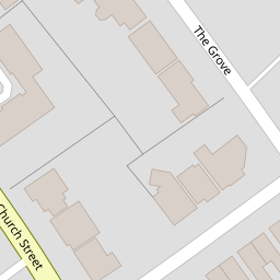


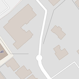

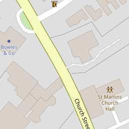


Leaflet © OpenStreetMap contributors
The heatmap indicates the level of crime in the area. The color of the heatmap indicates the crime severity and recency.
Metrics Year-on-Year
- Average area value
- 417,357.00 £Increased by 24.29 %
- Average area rental value
- 1,487.00 £/moIncreased by 1.09 %
- Est rental Yield
- 4.28 %Decreased by 18.63 %
- Crime Rate
- 2.00 %Unchanged by 0.00 %
from 335,788.00 £
from 1,471.00 £/mo
from 5.26 %
from 2.00 %
Nearby Schools
| Name | Type | Ofsted | Distance |
|---|---|---|---|
| St Christopher'S School Trust (Epsom) Ltd | Other Independent School | 0.56 KM | |
| Little Downsend Epsom | Other Independent School | 0.82 KM | |
| St Martin'S Sure Start Children'S Centre | Children's Centre | 0.86 KM | |
| Glyn School | Academy Converter | Outstanding | 1.31 KM |
| Wallace Fields Junior School | Community School | Outstanding | 1.34 KM |
Images
Nearby Streets
| Name | Average Price | Average Sqft | Distance |
|---|---|---|---|
| Church Street | £ 525,000 | 0 | 0.00 KM |
| Church Road | £ 700,000 | 0 | 0.00 KM |
| Depot Road | £ 230,000 | 0 | 0.00 KM |
| Heathcote Road | £ 0 | 0 | 0.00 KM |
| Bridle Road | £ 875,000 | 0 | 0.00 KM |
Nearby Transport
| Name | NLC | TLC | Distance |
|---|---|---|---|
| Epsom | 5360 | EPS | 1.07 KM |
| Ewell West | 5586 | EWW | 2.01 KM |
| Epsom Downs | 5361 | EPD | 2.45 KM |
| Ewell East | 5415 | EWE | 2.46 KM |
| Tattenham Corner | 5387 | TAT | 3.16 KM |
Nearby Listings
| Address | Price | Type | Score | Distance |
|---|---|---|---|---|
| The Grove, Epsom, KT17 | £ 340,000 | BUY | 5 / 10 | 0.03 KM |
| Grove Road, Epsom | £ 1,000,000 | BUY | 7 / 10 | 0.06 KM |
| The Grove, Epsom | £ 120,000 | BUY | 5 / 10 | 0.09 KM |
| The Grove, Epsom | £ 230,000 | BUY | 5 / 10 | 0.13 KM |
| The Grove, Epsom, KT17 | £ 140,000 | BUY | Unknown | 0.15 KM |
Nearby Properties
| Address | Price | Distance |
|---|---|---|
| 10 Denewood | £ 79,000 | 0.00 KM |
| 6 Denewood | £ 212,000 | 0.00 KM |
| 11 Denewood | £ 200,000 | 0.00 KM |
| 4 Denewood | £ 365,000 | 0.00 KM |
| 5 Denewood | £ 317,000 | 0.00 KM |