UN
69 Mill Lane
£ 257,000
Description
We don't have a Description for this property.
- Bedrooms
- 2
- Bathrooms
- 0
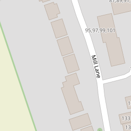
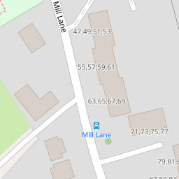
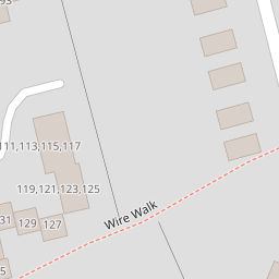
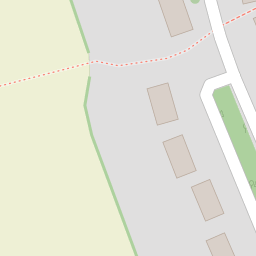
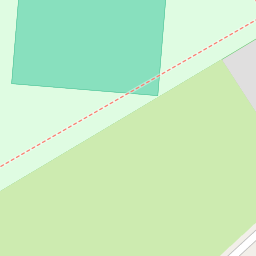
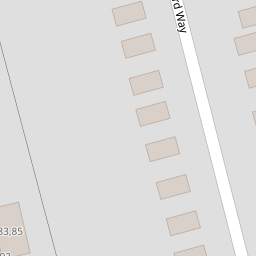
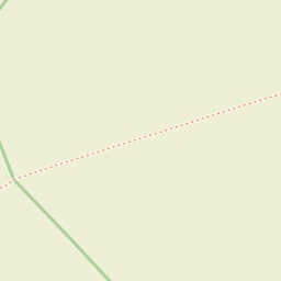

Leaflet © OpenStreetMap contributors
The heatmap indicates the level of crime in the area. The color of the heatmap indicates the crime severity and recency.
Metrics Year-on-Year
- Average area value
- 774,115.00 £Increased by 12.63 %
- Average area rental value
- 3,100.00 £/moIncreased by 77.55 %
- Est rental Yield
- 4.81 %Increased by 57.70 %
- Crime Rate
- 13.00 %Unchanged by 0.00 %
from 687,336.00 £
from 1,746.00 £/mo
from 3.05 %
from 13.00 %
Nearby Schools
| Name | Type | Ofsted | Distance |
|---|---|---|---|
| Moor House School & College | Non-maintained Special School | Outstanding | 0.56 KM |
| Hurst Green & Holland Sure Start Children'S Centre | Children's Centre | 0.81 KM | |
| Hurst Green Infant School | Community School | Good | 0.81 KM |
| Hazelwood School | Other Independent School | 1.31 KM | |
| Oxted School | Academy Converter | Requires improvement | 2.48 KM |
Images
Nearby Streets
| Name | Average Price | Average Sqft | Distance |
|---|---|---|---|
| Carrolls Way | £ 330,000 | 0 | 0.00 KM |
| Laurel Drive | £ 0 | 0 | 0.00 KM |
| Red Lane Cottages | £ 0 | 0 | 0.00 KM |
| Parklands | £ 0 | 0 | 0.00 KM |
| Broom Hill | £ 0 | 0 | 0.00 KM |
Nearby Transport
| Name | NLC | TLC | Distance |
|---|---|---|---|
| Hurst Green | 5463 | HUR | 0.64 KM |
| Oxted | 5377 | OXT | 2.35 KM |
| Godstone | 5474 | GDN | 6.40 KM |
| Lingfield | 5369 | LFD | 7.04 KM |
| Edenbridge(Kent) | 5473 | EBR | 7.11 KM |
Nearby Listings
| Address | Price | Type | Score | Distance |
|---|---|---|---|---|
| Mill Lane, Oxted, RH8 | £ 400,000 | BUY | Unknown | 0.07 KM |
| Mill Lane, Hurst Green | £ 260,000 | BUY | Unknown | 0.08 KM |
| Orchard Way, Oxted, RH8 9DJ | £ 900,000 | BUY | 8 / 10 | 0.12 KM |
| Orchard Way, Oxted, RH8 | £ 750,000 | BUY | 6 / 10 | 0.12 KM |
| Orchard Way, Oxted, Surrey | £ 775,000 | BUY | 8 / 10 | 0.17 KM |
Nearby Properties
| Address | Price | Distance |
|---|---|---|
| 77 Mill Lane | £ 142,000 | 0.00 KM |
| 51 Mill Lane | £ 200,000 | 0.00 KM |
| 97 Mill Lane | £ 147,000 | 0.00 KM |
| 65 Mill Lane | £ 269,500 | 0.00 KM |
| 59 Mill Lane | £ 205,000 | 0.00 KM |