UN
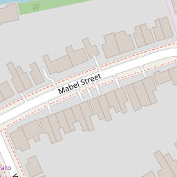
4 Mabel Street
£ 515,000
Description
We don't have a Description for this property.
- Bedrooms
- 3
- Bathrooms
- 0
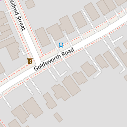
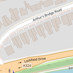
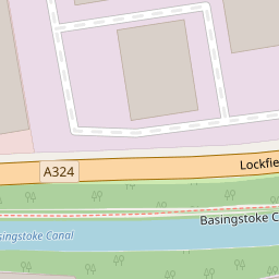
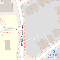
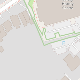

Leaflet © OpenStreetMap contributors
The heatmap indicates the level of crime in the area. The color of the heatmap indicates the crime severity and recency.
Metrics Year-on-Year
- Average area value
- 374,740.00 £Increased by 5.83 %
- Average area rental value
- 1,367.00 £/moDecreased by 6.24 %
- Est rental Yield
- 4.38 %Decreased by 11.34 %
- Crime Rate
- 5.00 %Unchanged by 0.00 %
from 354,111.00 £
from 1,458.00 £/mo
from 4.94 %
from 5.00 %
Nearby Schools
| Name | Type | Ofsted | Distance |
|---|---|---|---|
| North West Surrey Short Stay School | Pupil Referral Unit | Good | 0.26 KM |
| Goldsworth Primary School | Academy Converter | 0.39 KM | |
| Horsell Village School & Sure Start Children'S Centre | Children's Centre | 0.61 KM | |
| The Horsell Village School | Academy Converter | 0.63 KM | |
| St Andrew'S Woking School Trust | Other Independent School | 0.94 KM |
Images
Nearby Streets
| Name | Average Price | Average Sqft | Distance |
|---|---|---|---|
| Langdale Close | £ 699,950 | 0 | 0.00 KM |
| Mount Hermon Road | £ 435,000 | 0 | 0.00 KM |
| Parley Drive | £ 0 | 0 | 0.00 KM |
| Eastmead Connector | £ 0 | 0 | 0.00 KM |
| Churchfields | £ 1,000,000 | 0 | 0.00 KM |
Nearby Transport
| Name | NLC | TLC | Distance |
|---|---|---|---|
| Woking | 5685 | WOK | 1.66 KM |
| Worplesdon | 5686 | WPL | 3.35 KM |
| Brookwood | 5687 | BKO | 7.21 KM |
| West Byfleet | 5684 | WBY | 7.75 KM |
| Longcross | 5674 | LNG | 7.97 KM |
Nearby Listings
| Address | Price | Type | Score | Distance |
|---|---|---|---|---|
| Mabel Street, Woking, Surrey, GU21 | £ 525,000 | BUY | 6 / 10 | 0.02 KM |
| Goldsworth Road, Woking, Surrey, GU21 | £ 550,000 | BUY | Unknown | 0.13 KM |
| Goldsworth Road, Woking, Surrey, GU21 | £ 550,000 | BUY | Unknown | 0.13 KM |
| Bridge Barn Lane, Woking, Surrey, GU21 | £ 550,000 | BUY | 7 / 10 | 0.18 KM |
| WOKING | £ 365,000 | BUY | 5 / 10 | 0.19 KM |
Nearby Properties
| Address | Price | Distance |
|---|---|---|
| 17 Mabel Street | £ 245,000 | 0.00 KM |
| 19 Mabel Street | £ 355,000 | 0.00 KM |
| 18 Mabel Street | £ 209,000 | 0.00 KM |
| 2 Mabel Street | £ 262,950 | 0.00 KM |
| 20 Mabel Street | £ 250,000 | 0.00 KM |