UN
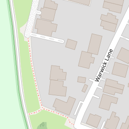
11 Warwick Lane
£ 575,000
Description
We don't have a Description for this property.
- Bedrooms
- 4
- Bathrooms
- 0
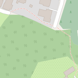

Leaflet © OpenStreetMap contributors
The heatmap indicates the level of crime in the area. The color of the heatmap indicates the crime severity and recency.
Metrics Year-on-Year
- Average area value
- 374,740.00 £Increased by 5.83 %
- Average area rental value
- 1,367.00 £/moDecreased by 6.24 %
- Est rental Yield
- 4.38 %Decreased by 11.34 %
- Crime Rate
- 14.00 %Unchanged by 0.00 %
from 354,111.00 £
from 1,458.00 £/mo
from 4.94 %
from 14.00 %
Nearby Schools
| Name | Type | Ofsted | Distance |
|---|---|---|---|
| The Winston Churchill School A Specialist Sports College | Foundation School | Good | 0.75 KM |
| Beaufort Primary School | Academy Converter | Good | 1.30 KM |
| The Hermitage School | Academy Converter | Good | 1.42 KM |
| The Oaktree School | Academy Converter | 1.43 KM | |
| St John'S Primary School | Academy Sponsor Led | Requires improvement | 1.43 KM |
Images
Nearby Streets
| Name | Average Price | Average Sqft | Distance |
|---|---|---|---|
| Saint John's Lye | £ 0 | 0 | 0.00 KM |
| St John's Road | £ 535,000 | 0 | 0.00 KM |
| Birdswood Drive | £ 0 | 0 | 0.00 KM |
| Oakwood Road | £ 0 | 0 | 0.00 KM |
| Oakway | £ 475,000 | 0 | 0.00 KM |
Nearby Transport
| Name | NLC | TLC | Distance |
|---|---|---|---|
| Worplesdon | 5686 | WPL | 2.83 KM |
| Woking | 5685 | WOK | 4.26 KM |
| Brookwood | 5687 | BKO | 4.61 KM |
| Longcross | 5674 | LNG | 8.22 KM |
| Guildford | 5631 | GLD | 8.43 KM |
Nearby Listings
| Address | Price | Type | Score | Distance |
|---|---|---|---|---|
| Woking, Surrey, GU21 | £ 950,000 | BUY | 7 / 10 | 0.05 KM |
| St. Johns Lye, St Johns, Woking | £ 450,000 | BUY | Unknown | 0.09 KM |
| Old Post Office Mews, Woking, Surrey, GU21 | £ 225,000 | BUY | 5 / 10 | 0.16 KM |
| St. Johns Lye, Woking, Surrey, GU21 | £ 340,000 | BUY | 6 / 10 | 0.21 KM |
| St Johns Road, St Johns, Woking, GU21 | £ 1,000,000 | BUY | 7 / 10 | 0.21 KM |
Nearby Properties
| Address | Price | Distance |
|---|---|---|
| Trelye | £ 375,000 | 0.00 KM |
| 4 Warwick Lane | £ 600,000 | 0.00 KM |
| 11 Warwick Lane | £ 575,000 | 0.00 KM |
| 14 Warwick Lane | £ 657,500 | 0.00 KM |
| 11a Warwick Lane | £ 595,000 | 0.00 KM |