UN
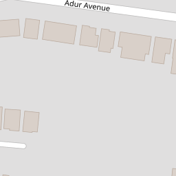
60 Adur Avenue
£ 417,500
Description
We don't have a Description for this property.
- Bedrooms
- 3
- Bathrooms
- 0


Leaflet © OpenStreetMap contributors
The heatmap indicates the level of crime in the area. The color of the heatmap indicates the crime severity and recency.
Metrics Year-on-Year
- Average area value
- 456,875.00 £Increased by 1.27 %
- Average area rental value
- 1,264.00 £/moDecreased by 16.90 %
- Est rental Yield
- 3.32 %Decreased by 18.02 %
- Crime Rate
- 1.00 %Unchanged by 0.00 %
from 451,147.00 £
from 1,521.00 £/mo
from 4.05 %
from 1.00 %
Nearby Schools
| Name | Type | Ofsted | Distance |
|---|---|---|---|
| Swiss Gardens Primary School | Community School | Good | 0.72 KM |
| Buckingham Park Primary School | Community School | Good | 1.29 KM |
| St Peter'S Catholic Primary School, Shoreham-By-Sea | Voluntary Aided School | Good | 2.10 KM |
| Shoreham Beach Primary School | Community School | Good | 2.18 KM |
| Kingston Buci Children & Family Centre | Children's Centre | 2.38 KM |
Images
Nearby Streets
| Name | Average Price | Average Sqft | Distance |
|---|---|---|---|
| Saint Nicolas Lane | £ 0 | 0 | 0.00 KM |
| Steyning Road | £ 0 | 0 | 0.00 KM |
| Bridges Bank | £ 0 | 0 | 0.00 KM |
| High Street | £ 289,975 | 0 | 0.00 KM |
| John Street | £ 449,982 | 0 | 0.00 KM |
Nearby Transport
| Name | NLC | TLC | Distance |
|---|---|---|---|
| Shoreham-By-Sea | 5277 | SSE | 1.37 KM |
| Lancing | 5275 | LAC | 4.84 KM |
| Southwick | 5286 | SWK | 5.17 KM |
| Fishersgate | 5284 | FSG | 6.95 KM |
| East Worthing | 5283 | EWR | 8.38 KM |
Nearby Listings
| Address | Price | Type | Score | Distance |
|---|---|---|---|---|
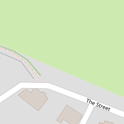
| The Street, Shoreham-by-Sea, BN43 | £ 475,000 | BUY | 7 / 10 | 0.09 KM |
| The Street, Shoreham-by-Sea | £ 975,000 | BUY | 6 / 10 | 0.10 KM |
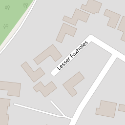
| Lesser Foxholes Shoreham | £ 600,000 | BUY | 7 / 10 | 0.16 KM |
| Adur Avenue, Shoreham by Sea | £ 700,000 | BUY | Unknown | 0.17 KM |
| Lesser Foxholes, Shoreham by Sea | £ 750,000 | BUY | 7 / 10 | 0.18 KM |
Nearby Properties
| Address | Price | Distance |
|---|---|---|
| 64 Adur Avenue | £ 108,000 | 0.00 KM |
| 71 Adur Avenue | £ 470,000 | 0.00 KM |
| 38 Adur Avenue | £ 419,950 | 0.00 KM |
| 26 Adur Avenue | £ 495,000 | 0.00 KM |
| 41 Adur Avenue | £ 405,000 | 0.00 KM |