UN
87 Farnhurst Road
£ 166,500
Description
We don't have a Description for this property.
- Bedrooms
- 3
- Bathrooms
- 0
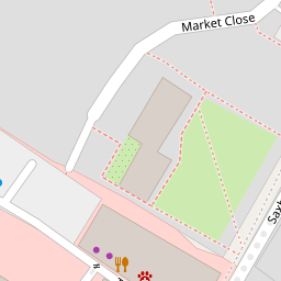
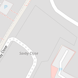

Leaflet © OpenStreetMap contributors
The heatmap indicates the level of crime in the area. The color of the heatmap indicates the crime severity and recency.
Metrics Year-on-Year
- Average area value
- 405,273.00 £Decreased by 12.72 %
- Average area rental value
- 1,457.00 £/moIncreased by 7.45 %
- Est rental Yield
- 4.31 %Increased by 23.14 %
- Crime Rate
- 114.00 %Unchanged by 0.00 %
from 464,328.00 £
from 1,356.00 £/mo
from 3.50 %
from 114.00 %
Nearby Schools
| Name | Type | Ofsted | Distance |
|---|---|---|---|
| Barnham Primary School | Academy Converter | Good | 0.33 KM |
| St Philip Howard Catholic School | Academy Converter | Outstanding | 0.55 KM |
| Eastergate Cofe Primary School | Voluntary Controlled School | Good | 2.48 KM |
| Walberton And Binsted Cofe Primary School | Voluntary Controlled School | Good | 2.58 KM |
| Ormiston Six Villages Academy | Academy Sponsor Led | Good | 2.78 KM |
Images
Nearby Streets
| Name | Average Price | Average Sqft | Distance |
|---|---|---|---|
| Nursery Close | £ 0 | 0 | 0.00 KM |
| Marshall Close | £ 350,000 | 0 | 0.00 KM |
| Farrow Drive. Odd Nos 11-19 | £ 0 | 0 | 0.00 KM |
| Canal Mews | £ 0 | 0 | 0.00 KM |
| Park Road | £ 475,000 | 0 | 0.00 KM |
Nearby Transport
| Name | NLC | TLC | Distance |
|---|---|---|---|
| Barnham | 5252 | BAA | 0.28 KM |
| Bognor Regis | 5253 | BOG | 6.57 KM |
| Ford | 5258 | FOD | 6.82 KM |
Nearby Listings
| Address | Price | Type | Score | Distance |
|---|---|---|---|---|
| Farnhurst Road, Barnham, West Sussex, PO22 | £ 330,000 | BUY | 8 / 10 | 0.00 KM |
| Farnhurst Road, Barnham, Bognor Regis | £ 395,000 | BUY | 7 / 10 | 0.01 KM |
| Farnhurst Road, Barnham | £ 325,000 | BUY | 7 / 10 | 0.07 KM |
| Farnhurst Road, Barnham | £ 290,000 | BUY | Unknown | 0.07 KM |
| Appletree Drive, Barnham | £ 550,000 | BUY | Unknown | 0.12 KM |
Nearby Properties
| Address | Price | Distance |
|---|---|---|
| 121 Farnhurst Road | £ 317,500 | 0.00 KM |
| 119 Farnhurst Road | £ 235,000 | 0.00 KM |
| 68 Farnhurst Road | £ 236,000 | 0.00 KM |
| 117 Farnhurst Road | £ 164,000 | 0.00 KM |
| 60 Farnhurst Road | £ 269,950 | 0.00 KM |