UN
27 Kingsmead
£ 199,000
Description
We don't have a Description for this property.
- Bedrooms
- 3
- Bathrooms
- 0
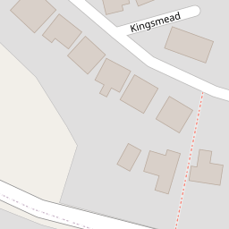
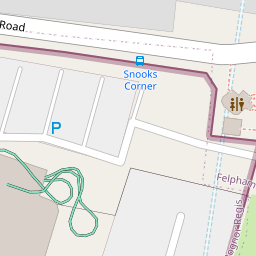

Leaflet © OpenStreetMap contributors
The heatmap indicates the level of crime in the area. The color of the heatmap indicates the crime severity and recency.
Metrics Year-on-Year
- Average area value
- 365,161.00 £Decreased by 17.46 %
- Average area rental value
- 1,342.00 £/moIncreased by 9.19 %
- Est rental Yield
- 4.41 %Increased by 32.43 %
- Crime Rate
- 35.00 %Unchanged by 0.00 %
from 442,384.00 £
from 1,229.00 £/mo
from 3.33 %
from 35.00 %
Nearby Schools
| Name | Type | Ofsted | Distance |
|---|---|---|---|
| Felpham Community College | Community School | Good | 0.69 KM |
| Downview Primary School | Academy Converter | Good | 1.21 KM |
| St Mary'S Catholic Primary School | Voluntary Aided School | Good | 1.50 KM |
| Edward Bryant School | Academy Converter | Good | 1.56 KM |
| South Bersted Cofe Primary School | Voluntary Controlled School | Good | 2.09 KM |
Images
Nearby Streets
| Name | Average Price | Average Sqft | Distance |
|---|---|---|---|
| Highcroft Close | £ 0 | 0 | 0.00 KM |
| Wedgwood Road | £ 0 | 0 | 0.00 KM |
| Melanie's Gardens | £ 0 | 0 | 0.00 KM |
| The Crescent | £ 0 | 0 | 0.00 KM |
| Stanley Close | £ 90,000 | 0 | 0.00 KM |
Nearby Transport
| Name | NLC | TLC | Distance |
|---|---|---|---|
| Bognor Regis | 5253 | BOG | 1.99 KM |
| Barnham | 5252 | BAA | 5.27 KM |
| Ford | 5258 | FOD | 9.99 KM |
Nearby Listings
| Address | Price | Type | Score | Distance |
|---|---|---|---|---|
| Kingsmead, Felpham, Bognor Regis, West Sussex, PO22 | £ 400,000 | BUY | 6 / 10 | 0.00 KM |
| Kingsmead, Bognor Regis | £ 325,000 | BUY | Unknown | 0.00 KM |
| Kingsmead, Felpham Village | £ 550,000 | BUY | 7 / 10 | 0.01 KM |
| 28 Links Avenue, Felpham, West Sussex, PO22 | £ 225,000 | BUY | 6 / 10 | 0.20 KM |
| Rife Way, Felpham, PO22 | £ 325,000 | BUY | 7 / 10 | 0.24 KM |
Nearby Properties
| Address | Price | Distance |
|---|---|---|
| 25 Kingsmead | £ 235,000 | 0.00 KM |
| 31 Kingsmead | £ 222,000 | 0.00 KM |
| 3a Kingsmead | £ 162,000 | 0.00 KM |
| 37 Kingsmead | £ 205,000 | 0.00 KM |
| 5 Kingsmead | £ 270,000 | 0.00 KM |