UN
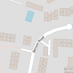
3 Benson Road
£ 240,000
Description
We don't have a Description for this property.
- Bedrooms
- 3
- Bathrooms
- 0

Leaflet © OpenStreetMap contributors
The heatmap indicates the level of crime in the area. The color of the heatmap indicates the crime severity and recency.
Metrics Year-on-Year
- Average area value
- 653,846.00 £Increased by 15.35 %
- Average area rental value
- 1,582.00 £/moDecreased by 12.06 %
- Est rental Yield
- 2.90 %Decreased by 23.88 %
- Crime Rate
- 7.00 %Unchanged by 0.00 %
from 566,823.00 £
from 1,799.00 £/mo
from 3.81 %
from 7.00 %
Nearby Schools
| Name | Type | Ofsted | Distance |
|---|---|---|---|
| St Peter'S Cofe Primary School | Voluntary Aided School | Good | 1.01 KM |
| Jolesfield Cofe Primary School | Voluntary Controlled School | Requires improvement | 4.83 KM |
| Ashurst Cofe Primary School | Voluntary Aided School | Good | 6.29 KM |
| Upper Beeding Primary School | Community School | Outstanding | 6.34 KM |
| St Peter'S Cofe (Aided) Primary School | Voluntary Aided School | Good | 6.38 KM |
Images
Nearby Streets
| Name | Average Price | Average Sqft | Distance |
|---|---|---|---|
| The Laurels | £ 0 | 0 | 0.00 KM |
| Cedar Way | £ 0 | 0 | 0.00 KM |
| Church Lane | £ 450,000 | 0 | 0.00 KM |
| Knowles Close | £ 0 | 0 | 0.00 KM |
| Hudson Way | £ 0 | 0 | 0.00 KM |
Nearby Listings
| Address | Price | Type | Score | Distance |
|---|---|---|---|---|
| Henfield | £ 229,000 | BUY | 7 / 10 | 0.01 KM |
| Furners Lane, Henfield | £ 900,000 | BUY | 8 / 10 | 0.06 KM |
| Furners Lane, Henfield | £ 285,000 | BUY | 5 / 10 | 0.06 KM |
| High Street, Henfield | £ 199,950 | BUY | 6 / 10 | 0.10 KM |
| Furners Lane, Henfield | £ 348,000 | BUY | 6 / 10 | 0.10 KM |
Nearby Properties
| Address | Price | Distance |
|---|---|---|
| 7 Benson Road | £ 255,000 | 0.00 KM |
| 8 Benson Road | £ 250,000 | 0.00 KM |
| 14 Benson Road | £ 265,000 | 0.00 KM |
| 15 Benson Road | £ 260,000 | 0.00 KM |
| 13 Benson Road | £ 237,500 | 0.00 KM |