UN
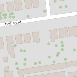
51 Bath Road
£ 46,500
Description
We don't have a Description for this property.
- Bedrooms
- 1
- Bathrooms
- 0

Leaflet © OpenStreetMap contributors
The heatmap indicates the level of crime in the area. The color of the heatmap indicates the crime severity and recency.
Metrics Year-on-Year
- Average area value
- 435,915.00 £Increased by 10.38 %
- Average area rental value
- 1,208.00 £/moIncreased by 1.17 %
- Est rental Yield
- 3.33 %Decreased by 8.26 %
- Crime Rate
- 0.00 %
from 394,905.00 £
from 1,194.00 £/mo
from 3.63 %
from 0.00 %
Nearby Schools
| Name | Type | Ofsted | Distance |
|---|---|---|---|
| Elm Grove Primary School, Worthing | Community School | Good | 1.41 KM |
| Heene Cofe Primary School | Voluntary Aided School | Requires improvement | 1.53 KM |
| St Mary'S Catholic Primary School | Academy Sponsor Led | Good | 1.56 KM |
| Our Lady Of Sion School | Other Independent School | 1.67 KM | |
| Footprints Children And Family Centre | Children's Centre | 1.73 KM |
Images
Nearby Streets
| Name | Average Price | Average Sqft | Distance |
|---|---|---|---|
| High Beeches | £ 515,000 | 0 | 0.00 KM |
| Lansdowne Road | £ 360,000 | 0 | 0.00 KM |
| Tennyson Road | £ 0 | 0 | 0.00 KM |
| Norfolk Street | £ 0 | 0 | 0.00 KM |
| Sea Place | £ 0 | 0 | 0.00 KM |
Nearby Transport
| Name | NLC | TLC | Distance |
|---|---|---|---|
| West Worthing | 5278 | WWO | 1.16 KM |
| Worthing | 5279 | WRH | 2.04 KM |
| Durrington-On-Sea | 5282 | DUR | 2.46 KM |
| East Worthing | 5283 | EWR | 4.30 KM |
| Goring-By-Sea | 5272 | GBS | 4.74 KM |
Nearby Listings
| Address | Price | Type | Score | Distance |
|---|---|---|---|---|
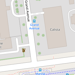
| Grand Avenue, Worthing, BN11 | £ 895,000 | BUY | 7 / 10 | 0.06 KM |
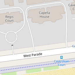
| West Parade, Worthing, BN11 | £ 450,000 | BUY | 5 / 10 | 0.07 KM |
| West Parade, Worthing, West Sussex, BN11 | £ 325,000 | BUY | 6 / 10 | 0.07 KM |
| Regis Court West Parade, Worthing, BN11 | £ 350,000 | BUY | Unknown | 0.07 KM |
| West Parade, Worthing, BN11 | £ 400,000 | BUY | 7 / 10 | 0.07 KM |
Nearby Properties
| Address | Price | Distance |
|---|---|---|
| 49 Bath Road | £ 211,000 | 0.00 KM |
| 51c Bath Road | £ 260,000 | 0.00 KM |
| 49a Bath Road | £ 157,500 | 0.00 KM |
| 51b Bath Road | £ 170,000 | 0.00 KM |
| 50a Bath Road | £ 242,500 | 0.00 KM |