UN
48 Woodend Road
£ 185,000
Description
We don't have a Description for this property.
- Bedrooms
- 2
- Bathrooms
- 0

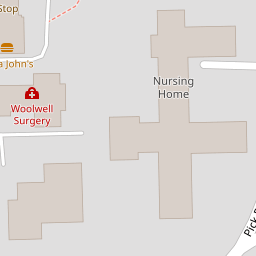
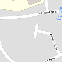
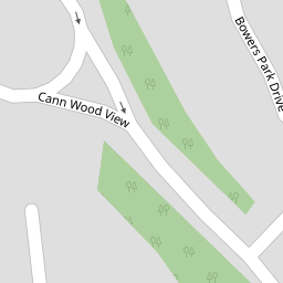
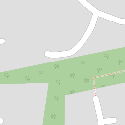


Leaflet © OpenStreetMap contributors
The heatmap indicates the level of crime in the area. The color of the heatmap indicates the crime severity and recency.
Metrics Year-on-Year
- Average area value
- 275,043.00 £Decreased by 5.93 %
- Average area rental value
- 1,007.00 £/moIncreased by 20.31 %
- Est rental Yield
- 4.39 %Increased by 27.62 %
- Crime Rate
- 16.00 %Unchanged by 0.00 %
from 292,391.00 £
from 837.00 £/mo
from 3.44 %
from 16.00 %
Nearby Schools
| Name | Type | Ofsted | Distance |
|---|---|---|---|
| Bickleigh Down Church Of England Primary School | Voluntary Aided School | Good | 0.24 KM |
| Widewell Primary Academy | Academy Converter | Good | 1.73 KM |
| College Of St Mark & St John | Higher Education Institutions | 1.77 KM | |
| Thornbury Primary School | Academy Converter | Good | 1.79 KM |
| Tor Bridge High | Academy Converter | Good | 2.39 KM |
Images
Nearby Streets
| Name | Average Price | Average Sqft | Distance |
|---|---|---|---|
| School Drive | £ 230,000 | 0 | 0.00 KM |
| Birch Close | £ 325,000 | 0 | 0.00 KM |
| Oaklands Close | £ 350,000 | 0 | 0.00 KM |
| Baytree Close | £ 68,000 | 0 | 0.00 KM |
| Elm Croft | £ 0 | 0 | 0.00 KM |
Nearby Transport
| Name | NLC | TLC | Distance |
|---|---|---|---|
| Plymouth | 3580 | PLY | 7.80 KM |
| Bere Ferrers | 3550 | BFE | 9.23 KM |
| Devonport | 3579 | DPT | 9.91 KM |
Nearby Listings
| Address | Price | Type | Score | Distance |
|---|---|---|---|---|
| Woodend Road, Woolwell, Plymouth | £ 275,000 | BUY | 7 / 10 | 0.01 KM |
| Woodend Road, Woolwell, Plymouth | £ 330,000 | BUY | 7 / 10 | 0.01 KM |
| Woodend Road, Woolwell, Plymouth | £ 300,000 | BUY | Unknown | 0.01 KM |
| Woolwell, Plymouth | £ 350,000 | BUY | 7 / 10 | 0.13 KM |
| Rosehip Close, Woolwell, Plymouth | £ 205,000 | BUY | 5 / 10 | 0.17 KM |
Nearby Properties
| Address | Price | Distance |
|---|---|---|
| 79 Woodend Road | £ 124,500 | 0.00 KM |
| 53 Woodend Road | £ 161,500 | 0.00 KM |
| 1 Woodend Road | £ 330,000 | 0.00 KM |
| 89 Woodend Road | £ 220,000 | 0.00 KM |
| 11 Woodend Road | £ 240,000 | 0.00 KM |