UN
7 The Grove
£ 117,000
Description
We don't have a Description for this property.
- Bedrooms
- 3
- Bathrooms
- 0
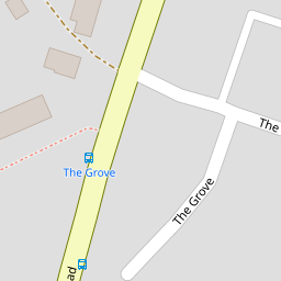
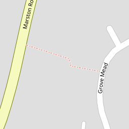
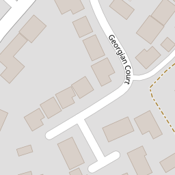
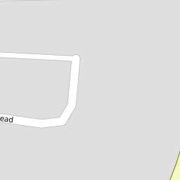

Leaflet © OpenStreetMap contributors
The heatmap indicates the level of crime in the area. The color of the heatmap indicates the crime severity and recency.
Metrics Year-on-Year
- Average area value
- 419,163.00 £Increased by 28.01 %
- Average area rental value
- 1,171.00 £/moIncreased by 54.08 %
- Est rental Yield
- 3.35 %Increased by 20.07 %
- Crime Rate
- 15.00 %Unchanged by 0.00 %
from 327,450.00 £
from 760.00 £/mo
from 2.79 %
from 15.00 %
Nearby Schools
| Name | Type | Ofsted | Distance |
|---|---|---|---|
| Avanti Park School | Free Schools | 1.07 KM | |
| Wessex Lodge School | Other Independent Special School | Good | 1.12 KM |
| Oakfield Academy | Academy Converter | Requires improvement | 1.22 KM |
| Christ Church Cofe First School | Voluntary Controlled School | Requires improvement | 1.27 KM |
| Trinity Church Of England First School | Voluntary Controlled School | Good | 1.27 KM |
Images
Nearby Streets
| Name | Average Price | Average Sqft | Distance |
|---|---|---|---|
| Marston Road | £ 785,000 | 0 | 0.00 KM |
| Whitemill Lane | £ 0 | 0 | 0.00 KM |
| Oakfield Road | £ 0 | 0 | 0.00 KM |
| Mount Pleasant | £ 450,000 | 0 | 0.00 KM |
| Morgan's Lane | £ 0 | 0 | 0.00 KM |
Nearby Transport
| Name | NLC | TLC | Distance |
|---|---|---|---|
| Frome | 5707 | FRO | 2.38 KM |
Nearby Listings
| Address | Price | Type | Score | Distance |
|---|---|---|---|---|
| The Butts, Frome | £ 285,000 | BUY | 7 / 10 | 0.16 KM |
| The Butts, Frome, Somerset, BA11 | £ 557,750 | BUY | 7 / 10 | 0.17 KM |
| Cabell Court, Frome | £ 280,000 | BUY | 6 / 10 | 0.19 KM |
| Cabell Court, Frome | £ 245,000 | BUY | 6 / 10 | 0.19 KM |
| Cabell Court, Frome | £ 350,000 | BUY | 7 / 10 | 0.20 KM |
Nearby Properties
| Address | Price | Distance |
|---|---|---|
| 17 The Grove | £ 257,000 | 0.00 KM |
| 28 The Grove | £ 117,500 | 0.00 KM |
| 34 The Grove | £ 28,250 | 0.00 KM |
| 24 The Grove | £ 151,000 | 0.00 KM |
| 1 The Grove | £ 275,000 | 0.00 KM |