UN
2 High Street
£ 275,000
Description
We don't have a Description for this property.
- Bedrooms
- 3
- Bathrooms
- 0
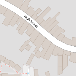
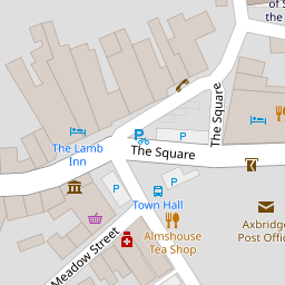
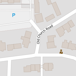

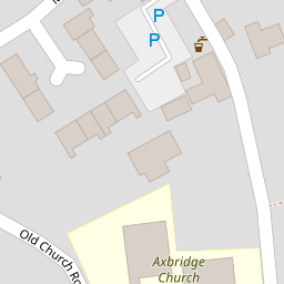

Leaflet © OpenStreetMap contributors
The heatmap indicates the level of crime in the area. The color of the heatmap indicates the crime severity and recency.
Metrics Year-on-Year
- Average area value
- 565,590.00 £Decreased by 3.13 %
- Average area rental value
- 1,171.00 £/moDecreased by 19.46 %
- Est rental Yield
- 2.48 %Decreased by 17.06 %
- Crime Rate
- 123.00 %Unchanged by 0.00 %
from 583,842.00 £
from 1,454.00 £/mo
from 2.99 %
from 123.00 %
Nearby Schools
| Name | Type | Ofsted | Distance |
|---|---|---|---|
| Axbridge Church Of England First School Academy | Academy Converter | 0.23 KM | |
| Sidcot School | Other Independent School | 2.90 KM | |
| Winscombe Primary School | Academy Converter | 3.59 KM | |
| Shipham Church Of England First School | Academy Converter | 3.81 KM | |
| Weare Academy First School | Academy Converter | 3.86 KM |
Images
Nearby Streets
| Name | Average Price | Average Sqft | Distance |
|---|---|---|---|
| Bailiffs' Wall | £ 0 | 0 | 0.00 KM |
| Parkfield Road | £ 317,500 | 0 | 0.00 KM |
Nearby Listings
| Address | Price | Type | Score | Distance |
|---|---|---|---|---|
| High Street, Axbridge | £ 650,000 | BUY | 7 / 10 | 0.03 KM |
| High Street, Axbridge | £ 600,000 | BUY | Unknown | 0.06 KM |
| High Street, Axbridge | £ 650,000 | BUY | 7 / 10 | 0.10 KM |
| The Square, Axbridge, BS26 | £ 380,000 | BUY | 5 / 10 | 0.15 KM |
| Old Church Road, Axbridge | £ 275,000 | BUY | 6 / 10 | 0.16 KM |
Nearby Properties
| Address | Price | Distance |
|---|---|---|
| 12 High Street | £ 380,000 | 0.00 KM |
| 20 High Street | £ 240,000 | 0.00 KM |
| 18 High Street | £ 263,000 | 0.00 KM |
| 28 High Street | £ 92,000 | 0.00 KM |
| 23 High Street | £ 445,000 | 0.00 KM |