UN
6 Ferry Lane
£ 380,000
Description
We don't have a Description for this property.
- Bedrooms
- 4
- Bathrooms
- 0
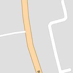
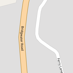

Leaflet © OpenStreetMap contributors
The heatmap indicates the level of crime in the area. The color of the heatmap indicates the crime severity and recency.
Metrics Year-on-Year
- Average area value
- 386,782.00 £Decreased by 21.38 %
- Average area rental value
- 1,100.00 £/moDecreased by 31.55 %
- Est rental Yield
- 3.41 %Decreased by 13.01 %
- Crime Rate
- 11.00 %Unchanged by 0.00 %
from 491,989.00 £
from 1,607.00 £/mo
from 3.92 %
from 11.00 %
Nearby Schools
| Name | Type | Ofsted | Distance |
|---|---|---|---|
| Lympsham Church Of England Academy | Academy Converter | Good | 1.33 KM |
| Oldmixon Primary School | Academy Converter | 3.30 KM | |
| East Brent Church Of England First School | Academy Converter | Good | 3.60 KM |
| Hutton Church Of England Primary School | Academy Converter | 3.79 KM | |
| Voyage Learning Campus | Pupil Referral Unit | Good | 3.96 KM |
Images
Nearby Streets
| Name | Average Price | Average Sqft | Distance |
|---|---|---|---|
| Stevens Lane | £ 350,000 | 0 | 0.00 KM |
| Sedgemoor Close | £ 0 | 0 | 0.00 KM |
Nearby Transport
| Name | NLC | TLC | Distance |
|---|---|---|---|
| Weston Milton | 3388 | WNM | 6.03 KM |
| Weston-Super-Mare | 3391 | WSM | 6.16 KM |
| Worle | 3390 | WOR | 8.22 KM |
| Highbridge And Burnham | 3314 | HIG | 8.91 KM |
Nearby Listings
| Address | Price | Type | Score | Distance |
|---|---|---|---|---|
| Ferry Lane, Lympsham, Weston-Super-Mare, BS24 | £ 479,500 | BUY | Unknown | 0.01 KM |
| Bridgwater Road, Lympsham - BIG GARDEN | £ 370,000 | BUY | 6 / 10 | 0.12 KM |
| Stevens Lane, Lympsham, Weston-Super-Mare, BS24 | £ 350,000 | BUY | 4 / 10 | 0.64 KM |
| The Crescent, Lympsham, Weston-super-Mare, BS24 | £ 438,500 | BUY | Unknown | 0.66 KM |
| EXTENDED HOUSE | LYMPSHAM | £ 240,000 | BUY | 6 / 10 | 0.90 KM |
Nearby Properties
| Address | Price | Distance |
|---|---|---|
| 10 Ferry Lane | £ 218,000 | 0.00 KM |
| 1 Ferry Lane | £ 286,000 | 0.00 KM |
| 4 Ferry Lane | £ 360,000 | 0.00 KM |
| 13 Ferry Lane | £ 260,000 | 0.00 KM |
| 16 Ferry Lane | £ 280,000 | 0.00 KM |