UN
8 Yersin Court
£ 76,700
Description
We don't have a Description for this property.
- Bedrooms
- 2
- Bathrooms
- 0
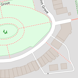

Leaflet © OpenStreetMap contributors
The heatmap indicates the level of crime in the area. The color of the heatmap indicates the crime severity and recency.
Metrics Year-on-Year
- Average area value
- 365,308.00 £Increased by 16.30 %
- Average area rental value
- 1,192.00 £/moDecreased by 1.41 %
- Est rental Yield
- 3.92 %Decreased by 15.15 %
- Crime Rate
- 5.00 %Unchanged by 0.00 %
from 314,100.00 £
from 1,209.00 £/mo
from 4.62 %
from 5.00 %
Nearby Schools
| Name | Type | Ofsted | Distance |
|---|---|---|---|
| The Commonweal School | Academy Converter | Good | 0.55 KM |
| East Wichel Primary School & Nursery | Community School | Good | 0.87 KM |
| Robert Le Kyng Primary School | Community School | Good | 0.92 KM |
| Utc Swindon | University Technical College | Requires improvement | 1.25 KM |
| Lethbridge Primary School | Academy Converter | Good | 1.44 KM |
Images
Nearby Streets
| Name | Average Price | Average Sqft | Distance |
|---|---|---|---|
| Okus Road | £ 385,000 | 0 | 0.00 KM |
| Canal Cottages | £ 0 | 0 | 0.00 KM |
| Marlborough Street | £ 0 | 0 | 0.00 KM |
| Turner Street | £ 0 | 0 | 0.00 KM |
| Blackberry Alley | £ 240,000 | 0 | 0.00 KM |
Nearby Transport
| Name | NLC | TLC | Distance |
|---|---|---|---|
| Swindon (Wilts) | 3333 | SWI | 1.83 KM |
Nearby Listings
| Address | Price | Type | Score | Distance |
|---|---|---|---|---|
| Yersin Court, Swindon | £ 140,000 | BUY | 6 / 10 | 0.00 KM |
| Yersin Court, Swindon | £ 130,000 | BUY | 5 / 10 | 0.00 KM |
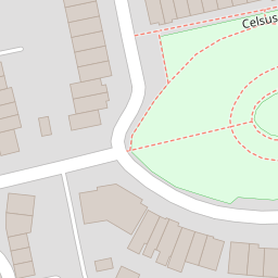
| Celsus Grove, Old Town, Swindon, Wiltshire, SN1 | £ 290,000 | BUY | 7 / 10 | 0.03 KM |
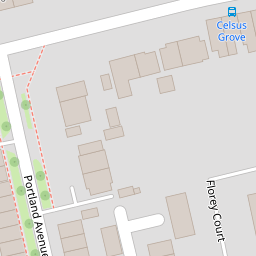
| Florey Court, Swindon, Wiltshire | £ 150,000 | BUY | 5 / 10 | 0.04 KM |
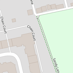
| Chain Court, Swindon | £ 150,000 | BUY | Unknown | 0.06 KM |
Nearby Properties
| Address | Price | Distance |
|---|---|---|
| 21 Yersin Court | £ 77,000 | 0.00 KM |
| 12 Yersin Court | £ 64,500 | 0.00 KM |
| 58 Yersin Court | £ 150,000 | 0.00 KM |
| 48 Yersin Court | £ 66,500 | 0.00 KM |
| 47 Yersin Court | £ 68,550 | 0.00 KM |