UN
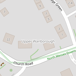
12 Church Road
£ 300,000
Description
We don't have a Description for this property.
- Bedrooms
- 2
- Bathrooms
- 0

Leaflet © OpenStreetMap contributors
The heatmap indicates the level of crime in the area. The color of the heatmap indicates the crime severity and recency.
Metrics Year-on-Year
- Average area value
- 482,343.00 £Decreased by 5.50 %
- Average area rental value
- 1,295.00 £/moDecreased by 26.67 %
- Est rental Yield
- 3.22 %Decreased by 22.41 %
- Crime Rate
- 92.00 %Unchanged by 0.00 %
from 510,398.00 £
from 1,766.00 £/mo
from 4.15 %
from 92.00 %
Nearby Schools
| Name | Type | Ofsted | Distance |
|---|---|---|---|
| Wanborough Primary School | Community School | Good | 0.53 KM |
| Liden Academy | Academy Converter | 3.28 KM | |
| The Chalet School | Academy Special Sponsor Led | 3.31 KM | |
| The Dorcan Academy | Academy Converter | Requires improvement | 3.76 KM |
| Chiseldon Primary & Nursery School | Community School | Good | 3.83 KM |
Images
Nearby Streets
| Name | Average Price | Average Sqft | Distance |
|---|---|---|---|
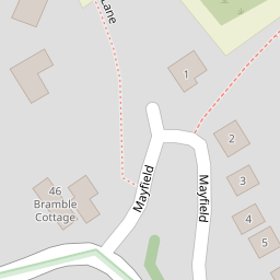
| Mayfield | £ 525,000 | 0 | 0.00 KM |
| Stanley Close | £ 0 | 0 | 0.00 KM |
| Chapel Lane | £ 0 | 0 | 0.00 KM |
| The Green | £ 635,000 | 0 | 0.00 KM |
| Brookfield | £ 0 | 0 | 0.00 KM |
Nearby Transport
| Name | NLC | TLC | Distance |
|---|---|---|---|
| Swindon (Wilts) | 3333 | SWI | 9.65 KM |
Nearby Listings
| Address | Price | Type | Score | Distance |
|---|---|---|---|---|
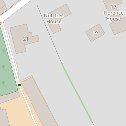
| Florence House, Church Road, Wanborough, Wiltshire, SN4 | £ 230,000 | BUY | Unknown | 0.00 KM |
| Church Road, Wanborough, Swindon, Wiltshire, SN4 | £ 725,000 | BUY | 8 / 10 | 0.00 KM |
| Church Road, Wanborough, SN4 | £ 190,000 | BUY | 6 / 10 | 0.12 KM |
| Church Road, Wanborough, Swindon, SN4 | £ 235,000 | BUY | 6 / 10 | 0.13 KM |
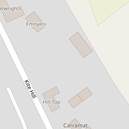
| Kite Hill, Wanborough, Swindon, SN4 | £ 875,000 | BUY | 7 / 10 | 0.38 KM |
Nearby Properties
| Address | Price | Distance |
|---|---|---|
| 14 Church Road | £ 380,000 | 0.00 KM |
| 25 Church Road | £ 249,975 | 0.00 KM |
| 54 Church Road | £ 405,000 | 0.00 KM |
| 46 Church Road | £ 499,500 | 0.00 KM |
| 20 Church Road | £ 196,000 | 0.00 KM |