UN
18 Kew Road
£ 137,000
Description
We don't have a Description for this property.
- Bedrooms
- 3
- Bathrooms
- 0

Leaflet © OpenStreetMap contributors
The heatmap indicates the level of crime in the area. The color of the heatmap indicates the crime severity and recency.
Metrics Year-on-Year
- Average area value
- 252,500.00 £Increased by 21.08 %
- Average area rental value
- 820.00 £/moDecreased by 68.92 %
- Est rental Yield
- 3.90 %Decreased by 74.31 %
- Crime Rate
- 6.00 %Unchanged by 0.00 %
from 208,540.00 £
from 2,638.00 £/mo
from 15.18 %
from 6.00 %
Nearby Schools
| Name | Type | Ofsted | Distance |
|---|---|---|---|
| Northlands Primary School | Community School | Good | 0.35 KM |
| Lawrence Sheriff School | Academy Converter | 0.77 KM | |
| Rugby School | Other Independent School | 0.79 KM | |
| Claremont Children'S Centre (Formerly Rugby Parents Centre) | Children's Centre | 1.05 KM | |
| St Marie'S Catholic Primary School And Nursery | Voluntary Aided School | Good | 1.40 KM |
Images
Nearby Streets
| Name | Average Price | Average Sqft | Distance |
|---|---|---|---|
| Albert Square | £ 0 | 0 | 0.00 KM |
| Craven Road | £ 200,000 | 0 | 0.00 KM |
| Hughes Close | £ 350,000 | 0 | 0.00 KM |
| Gavel Drive | £ 0 | 0 | 0.00 KM |
| Church Walk | £ 525,000 | 0 | 0.00 KM |
Nearby Transport
| Name | NLC | TLC | Distance |
|---|---|---|---|
| Rugby | 1087 | RUG | 1.04 KM |
Nearby Listings
| Address | Price | Type | Score | Distance |
|---|---|---|---|---|
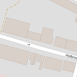
| Holbrook Avenue, Rugby | £ 180,000 | BUY | 5 / 10 | 0.09 KM |
| Holbrook Avenue, Rugby | £ 225,000 | BUY | 6 / 10 | 0.09 KM |
| Manor Road, Rugby | £ 275,000 | BUY | 4 / 10 | 0.10 KM |
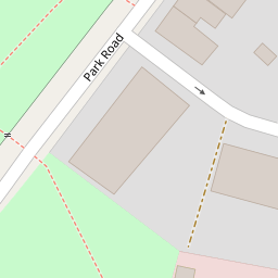
| Park Road, Rugby | £ 375,000 | BUY | 5 / 10 | 0.15 KM |
| Park Road, Rugby, CV21 | £ 425,000 | BUY | 7 / 10 | 0.15 KM |
Nearby Properties
| Address | Price | Distance |
|---|---|---|
| 29 Kew Road | £ 125,500 | 0.00 KM |
| 5 Kew Road | £ 228,000 | 0.00 KM |
| 21 Kew Road | £ 94,950 | 0.00 KM |
| 12 Kew Road | £ 137,500 | 0.00 KM |
| 18 Kew Road | £ 137,000 | 0.00 KM |