UN
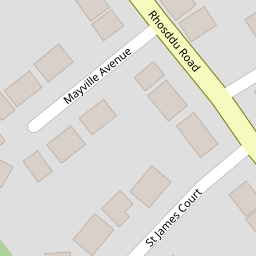
122 Rhosddu Road
£ 112,000
Description
We don't have a Description for this property.
- Bedrooms
- 3
- Bathrooms
- 0
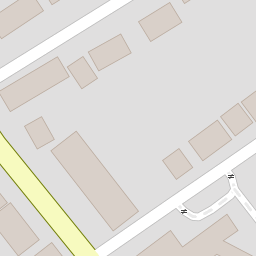

Leaflet © OpenStreetMap contributors
The heatmap indicates the level of crime in the area. The color of the heatmap indicates the crime severity and recency.
Metrics Year-on-Year
- Average area value
- 502,500.00 £Increased by 40.73 %
- Average area rental value
- 961.00 £/moDecreased by 1.13 %
- Est rental Yield
- 2.29 %Decreased by 29.97 %
- Crime Rate
- 6.00 %Unchanged by 0.00 %
from 357,077.00 £
from 972.00 £/mo
from 3.27 %
from 6.00 %
Nearby Schools
| Name | Type | Ofsted | Distance |
|---|---|---|---|
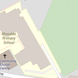
| Rhosddu Primary School | Welsh Establishment | 0.16 KM | |
| Ysgol Plas Coch | Welsh Establishment | 0.84 KM | |
| Wat'S Dyke C.P. School | Welsh Establishment | 0.96 KM | |
| Woodlands Children'S Development Centre | Welsh Establishment | 1.08 KM | |
| St Mary'S R.C. Primary School | Welsh Establishment | 1.21 KM |
Images
Nearby Streets
| Name | Average Price | Average Sqft | Distance |
|---|---|---|---|
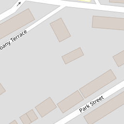
| Albany Terrace | £ 0 | 0 | 0.00 KM |
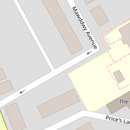
| Price's Lane | £ 132,500 | 0 | 0.00 KM |
| Grange Avenue | £ 180,000 | 0 | 0.00 KM |
| Buckingham Road | £ 0 | 0 | 0.00 KM |
| Maes Glyndwr | £ 253,328 | 0 | 0.00 KM |
Nearby Transport
| Name | NLC | TLC | Distance |
|---|---|---|---|
| Wrexham General | 4487 | WRX | 0.64 KM |
| Wrexham Central | 4486 | WXC | 0.93 KM |
| Gwersyllt | 4300 | GWE | 2.94 KM |
| Cefn-Y-Bedd | 2425 | CYB | 6.10 KM |
| Caergwrle | 2536 | CGW | 7.05 KM |
Nearby Listings
| Address | Price | Type | Score | Distance |
|---|---|---|---|---|
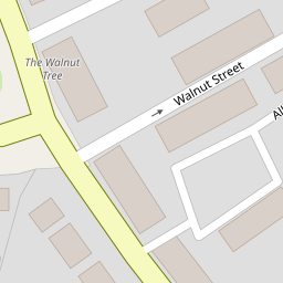
| Walnut Street, Wrexham | £ 100,000 | BUY | 5 / 10 | 0.06 KM |
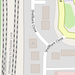
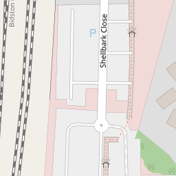
| Shellbark Close, Wrexham | £ 170,000 | BUY | Unknown | 0.15 KM |
| Park Street, Wrexham, LL11 | £ 135,000 | BUY | 4 / 10 | 0.17 KM |
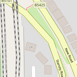
| New Road, Rhosddu, Wrexham, LL11 | £ 145,000 | BUY | 6 / 10 | 0.18 KM |
| Rhosddu, Wrexham | £ 245,000 | BUY | 6 / 10 | 0.28 KM |
Nearby Properties
| Address | Price | Distance |
|---|---|---|
| 108 Rhosddu Road | £ 100,000 | 0.00 KM |
| 112 Rhosddu Road | £ 93,000 | 0.00 KM |
| 122 Rhosddu Road | £ 112,000 | 0.00 KM |
| 110 Rhosddu Road | £ 88,000 | 0.02 KM |
| 6 Walnut Street | £ 34,000 | 0.06 KM |