UN
6 Moorfields
£ 58,000
Description
We don't have a Description for this property.
- Bedrooms
- 3
- Bathrooms
- 0
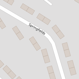
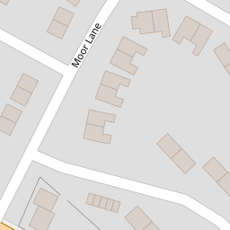
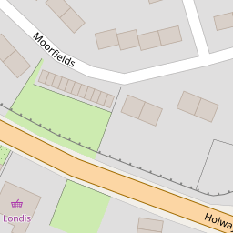

Leaflet © OpenStreetMap contributors
The heatmap indicates the level of crime in the area. The color of the heatmap indicates the crime severity and recency.
Metrics Year-on-Year
- Average area value
- 312,744.00 £Increased by 45.65 %
- Average area rental value
- 1,124.00 £/moIncreased by 8.81 %
- Est rental Yield
- 4.31 %Decreased by 25.30 %
- Crime Rate
- 83.00 %Unchanged by 0.00 %
from 214,716.00 £
from 1,033.00 £/mo
from 5.77 %
from 83.00 %
Nearby Schools
| Name | Type | Ofsted | Distance |
|---|---|---|---|
| Ysgol Gwenffrwd | Welsh Establishment | 1.15 KM | |
| St Winefrides R.C. School | Welsh Establishment | 1.27 KM | |
| Brynford C.P. School | Welsh Establishment | 2.03 KM | |
| Ysgol Bro Carmel | Welsh Establishment | 2.15 KM | |
| Ysgol Treffynnon | Welsh Establishment | 2.17 KM |
Images
Nearby Streets
| Name | Average Price | Average Sqft | Distance |
|---|---|---|---|
| Brynffynnon Terrace | £ 0 | 0 | 0.00 KM |
| Tudor Close | £ 0 | 0 | 0.00 KM |
| North Road | £ 90,000 | 0 | 0.00 KM |
| Tower Gardens | £ 0 | 0 | 0.00 KM |
| Greenfield Road | £ 95,000 | 0 | 0.00 KM |
Nearby Listings
| Address | Price | Type | Score | Distance |
|---|---|---|---|---|
| Moor Lane, Holywell | £ 105,000 | BUY | 5 / 10 | 0.15 KM |
| Moor Lane, Holywell, Flintshire, CH8 | £ 120,000 | BUY | 5 / 10 | 0.17 KM |
| St. James Place, Holywell, Flintshire, CH8 | £ 140,000 | BUY | 6 / 10 | 0.20 KM |
| Holway Road, Holywell, Flintshire, CH8 | £ 140,000 | BUY | 5 / 10 | 0.22 KM |
| Sea View Terrace, Holway, Holywell, Flintshire, CH8 | £ 100,000 | BUY | Unknown | 0.22 KM |
Nearby Properties
| Address | Price | Distance |
|---|---|---|
| 76 Moorfields | £ 65,000 | 0.00 KM |
| 58 Moorfields | £ 70,000 | 0.00 KM |
| 68 Moorfields | £ 85,000 | 0.00 KM |
| 70 Moorfields | £ 70,000 | 0.00 KM |
| 60 Moorfields | £ 81,000 | 0.00 KM |