UN
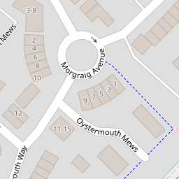
18 Oystermouth Way
£ 207,500
Description
We don't have a Description for this property.
- Bedrooms
- 3
- Bathrooms
- 0
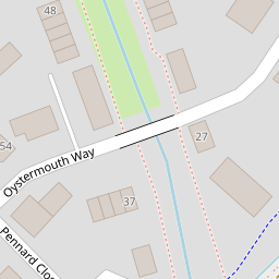

Leaflet © OpenStreetMap contributors
The heatmap indicates the level of crime in the area. The color of the heatmap indicates the crime severity and recency.
Metrics Year-on-Year
- Average area value
- 400,449.00 £Increased by 9.05 %
- Average area rental value
- 1,078.00 £/moDecreased by 1.73 %
- Est rental Yield
- 3.23 %Decreased by 9.78 %
- Crime Rate
- 19.00 %Unchanged by 0.00 %
from 367,227.00 £
from 1,097.00 £/mo
from 3.58 %
from 19.00 %
Nearby Schools
| Name | Type | Ofsted | Distance |
|---|---|---|---|
| St Joseph'S R.C.High School | Welsh Establishment | 1.22 KM | |
| Ysgol Gyfun Gwent Is Coed | Welsh Establishment | 1.41 KM | |
| The John Frost School | Welsh Establishment | 1.52 KM | |
| St David'S R.C. Junior & Infants School | Welsh Establishment | 2.10 KM | |
| Maes Ebbw School | Welsh Establishment | 2.19 KM |
Images
Nearby Streets
| Name | Average Price | Average Sqft | Distance |
|---|---|---|---|
| Conway Grove | £ 450,000 | 0 | 0.00 KM |
| Pencarn Lane | £ 0 | 0 | 0.00 KM |
| South Lake Drive | £ 0 | 0 | 0.00 KM |
| Mallard Way | £ 0 | 0 | 0.00 KM |
| Green Lane | £ 0 | 0 | 0.00 KM |
Nearby Transport
| Name | NLC | TLC | Distance |
|---|---|---|---|
| Pye Corner | 1663 | PYE | 3.46 KM |
| Newport (South Wales) | 3674 | NWP | 4.92 KM |
| Rogerstone | 9921 | ROR | 6.80 KM |
| Risca And Pontymister | 9920 | RCA | 9.66 KM |
Nearby Listings
| Address | Price | Type | Score | Distance |
|---|---|---|---|---|
| Oystermouth Way, Coedkernew, NP10 | £ 239,995 | BUY | Unknown | 0.01 KM |
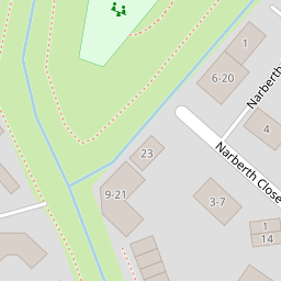
| Narberth Mews, Coedkernew, Newport | £ 160,000 | BUY | 6 / 10 | 0.11 KM |
| Grosmont Way, Newport, Gwent | £ 200,000 | BUY | 6 / 10 | 0.13 KM |
| Pennard Close, Newport, NP10 | £ 172,500 | BUY | 7 / 10 | 0.14 KM |
| Longtown Grove, Newport | £ 200,000 | BUY | 6 / 10 | 0.22 KM |
Nearby Properties
| Address | Price | Distance |
|---|---|---|
| 29 Oystermouth Way | £ 184,950 | 0.00 KM |
| 2 Oystermouth Way | £ 262,000 | 0.00 KM |
| 5 Oystermouth Way | £ 177,000 | 0.00 KM |
| 9 Oystermouth Way | £ 185,000 | 0.00 KM |
| 39 Oystermouth Way | £ 205,000 | 0.00 KM |