UN
41 Cardiff Road
£ 152,500
Description
We don't have a Description for this property.
- Bedrooms
- 3
- Bathrooms
- 0

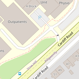
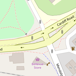


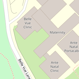
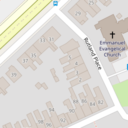


Leaflet © OpenStreetMap contributors
The heatmap indicates the level of crime in the area. The color of the heatmap indicates the crime severity and recency.
Metrics Year-on-Year
- Average area value
- 400,449.00 £Increased by 9.05 %
- Average area rental value
- 1,078.00 £/moDecreased by 1.73 %
- Est rental Yield
- 3.23 %Decreased by 9.78 %
- Crime Rate
- 4.00 %Unchanged by 0.00 %
from 367,227.00 £
from 1,097.00 £/mo
from 3.58 %
from 4.00 %
Nearby Schools
| Name | Type | Ofsted | Distance |
|---|---|---|---|
| Pillgwenlly C.P. School | Welsh Establishment | 0.51 KM | |
| St Michael'S R.C. Primary School | Welsh Establishment | 0.62 KM | |
| St Woolos Primary School | Welsh Establishment | 0.67 KM | |
| Maindee C.P. School | Welsh Establishment | 1.36 KM | |
| St Mary'S R.C. Primary School | Welsh Establishment | 1.46 KM |
Images
Nearby Streets
| Name | Average Price | Average Sqft | Distance |
|---|---|---|---|
| Arthur Street | £ 0 | 0 | 0.00 KM |
| Walker Point Way | £ 149,583 | 0 | 0.00 KM |
| Alma Street | £ 182,500 | 0 | 0.00 KM |
| Grove Lane | £ 0 | 0 | 0.00 KM |
| Cape Lindsey Road | £ 178,667 | 0 | 0.00 KM |
Nearby Transport
| Name | NLC | TLC | Distance |
|---|---|---|---|
| Newport (South Wales) | 3674 | NWP | 1.18 KM |
| Pye Corner | 1663 | PYE | 4.47 KM |
| Rogerstone | 9921 | ROR | 7.91 KM |
| Cwmbran | 3738 | CWM | 8.91 KM |
Nearby Listings
| Address | Price | Type | Score | Distance |
|---|---|---|---|---|
| Capel Crescent, Newport | £ 185,000 | BUY | Unknown | 0.09 KM |
| Capel Crescent, Newport | £ 170,000 | BUY | Unknown | 0.13 KM |
| Large HMO - 6 Self Contained Flats. Cardiff Road, Newport | £ 350,000 | BUY | Unknown | 0.16 KM |
| Royal Victoria Court Mendalgief Road Newport NP20 | £ 268,995 | BUY | Unknown | 0.19 KM |
| Royal Victoria Court Mendalgief Road Newport NP20 | £ 150,000 | BUY | Unknown | 0.19 KM |
Nearby Properties
| Address | Price | Distance |
|---|---|---|
| 65 Cardiff Road | £ 120,000 | 0.00 KM |
| 37 Cardiff Road | £ 205,000 | 0.00 KM |
| 35 Cardiff Road | £ 300,000 | 0.00 KM |
| 47 Cardiff Road | £ 115,000 | 0.00 KM |
| 31 Cardiff Road | £ 71,000 | 0.00 KM |