UN
7 Heol Eglwys
£ 143,500
Description
We don't have a Description for this property.
- Bedrooms
- 3
- Bathrooms
- 0
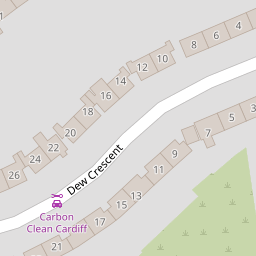
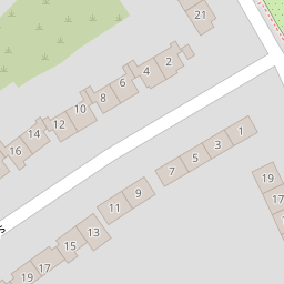
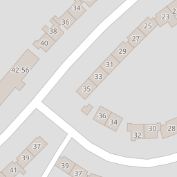

Leaflet © OpenStreetMap contributors
The heatmap indicates the level of crime in the area. The color of the heatmap indicates the crime severity and recency.
Metrics Year-on-Year
- Average area value
- 209,177.00 £Increased by 0.73 %
- Average area rental value
- 962.00 £/moDecreased by 18.54 %
- Est rental Yield
- 5.52 %Decreased by 19.06 %
- Crime Rate
- 15.00 %Unchanged by 0.00 %
from 207,659.00 £
from 1,181.00 £/mo
from 6.82 %
from 15.00 %
Nearby Schools
| Name | Type | Ofsted | Distance |
|---|---|---|---|
| Trelai Primary School | Welsh Establishment | 0.25 KM | |
| Cardiff West Community High School | Welsh Establishment | 0.28 KM | |
| Ty Gwyn Special School | Welsh Establishment | 0.34 KM | |
| Woodlands High School | Welsh Establishment | 0.37 KM | |
| Riverbank Special School | Welsh Establishment | 0.40 KM |
Images
Nearby Streets
| Name | Average Price | Average Sqft | Distance |
|---|---|---|---|
| Vincent Road | £ 0 | 0 | 0.00 KM |
| Ascot Close | £ 189,990 | 0 | 0.00 KM |
| Broadfield Court | £ 69,000 | 0 | 0.00 KM |
| Tal y Bont Road | £ 0 | 0 | 0.00 KM |
| Heol-y-Felin | £ 166,667 | 0 | 0.00 KM |
Nearby Transport
| Name | NLC | TLC | Distance |
|---|---|---|---|
| Waun-Gron Park | 3796 | WNG | 1.56 KM |
| Fairwater | 3873 | FRW | 2.07 KM |
| Danescourt | 3797 | DCT | 2.80 KM |
| Ninian Park | 3895 | NNP | 3.73 KM |
| Llandaf | 3844 | LLN | 3.75 KM |
Nearby Listings
| Address | Price | Type | Score | Distance |
|---|---|---|---|---|
| Dew Crescent, Cardiff | £ 310,000 | BUY | Unknown | 0.06 KM |
| Clos Eiddiw, Park View Grove, Lower Ely, Cardiff, CF5 5NT | £ 360,000 | BUY | 7 / 10 | 0.42 KM |
| Clos Rhedyn, Cardiff, CF5 | £ 190,000 | BUY | Unknown | 0.43 KM |
| Heol Trelai, Cardiff | £ 250,000 | BUY | 7 / 10 | 0.44 KM |
| Palmers Drive, Cardiff. CF5 5NR | £ 360,000 | BUY | 6 / 10 | 0.49 KM |
Nearby Properties
| Address | Price | Distance |
|---|---|---|
| 11 Heol Eglwys | £ 112,000 | 0.00 KM |
| 35 Heol Eglwys | £ 115,000 | 0.00 KM |
| 12 Heol Eglwys | £ 125,000 | 0.00 KM |
| 25 Heol Eglwys | £ 46,950 | 0.00 KM |
| 16 Heol Eglwys | £ 103,500 | 0.00 KM |