Longstaff Chartered Surveyors says ..
TOTAL 71.67 ACRES (29.003 HECTARES) OR THEREABOUTS FOR SALE BY INFORMAL TENDER IN 4 LOTS CLOSING DATE FOR RECEIPT OF TENDERS THURSDAY 10TH OCTOBER 2024 AT 12 NOON All Grade 1 Arable Silt
Property Oracle says ..
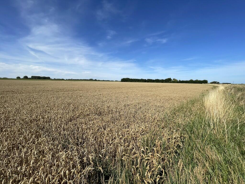
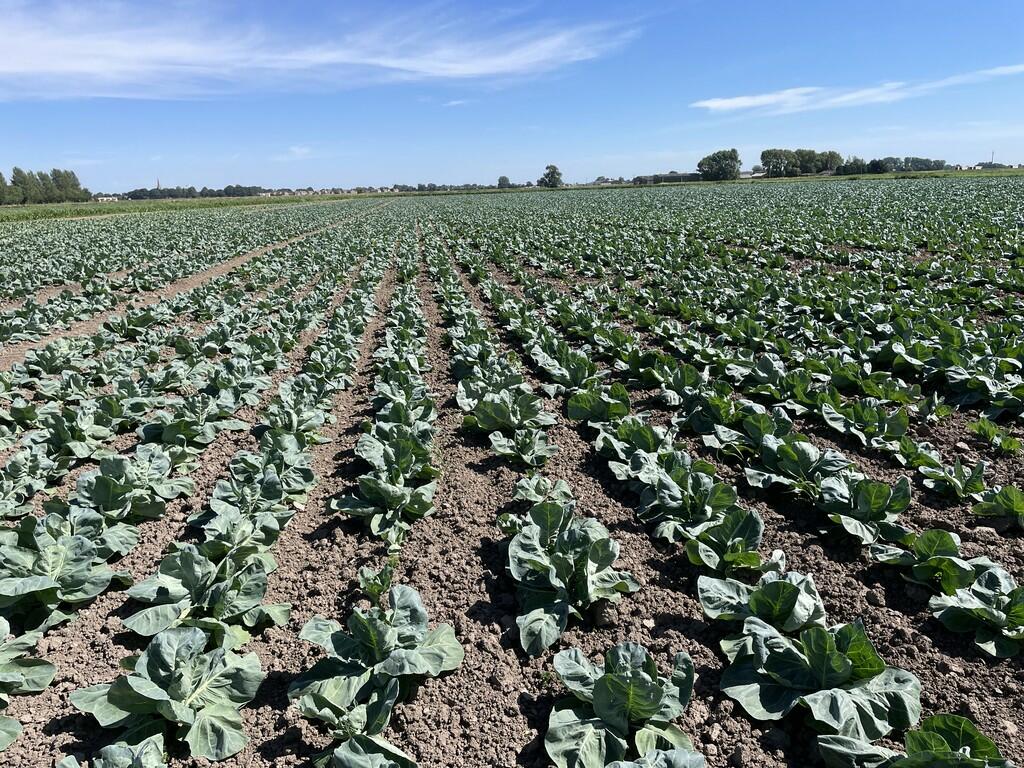
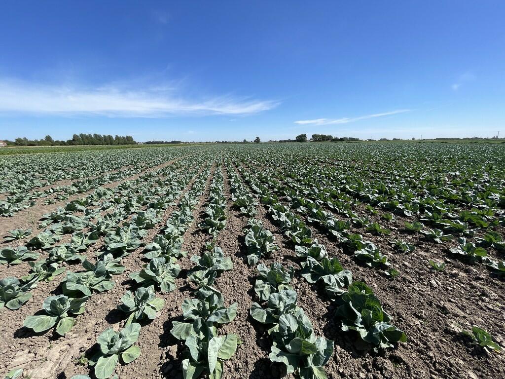
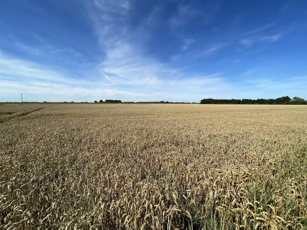
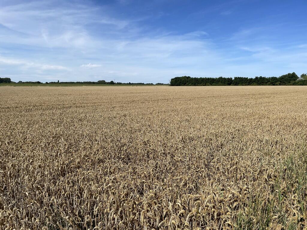
The property listing pertains to a large agricultural land parcel in Spalding, Lincolnshire. Images show extensive fields, likely used for crop cultivation, suggesting the property is suited for farming or other agricultural applications. The listing indicates a total area of approximately 71.67 acres. Nearby residential properties show a wide range of prices, reflecting varying sizes and conditions, making it difficult to accurately estimate the value of the farmland without further market data specifically for agricultural land in this location. The listing’s lack of information on any existing structure raises concerns about the accuracy of the provided details and the completeness of the provided listing. The absence of a list price and other key property specifics makes a meaningful analysis challenging without a complete and accurate data set. Furthermore, understanding the soil quality, zoning regulations, and any potential environmental impact would be crucial in a thorough valuation. The proximity to Spalding provides access to local amenities, but the exact distance and accessibility require further clarification. The nearby schools are mentioned, but the overall accessibility of these schools and other services would require further investigation to provide a holistic view of this location.
Therefore, we give this property 3 / 10. *Disclaimer: This is our option and does constitute a recommendation or financial advice. Do your own research. *
- Price
- 1
- Condition
- 1
- Location
- 3
- Land
- 10
- Bedrooms
- 0
- Bathrooms
- 0
The heatmap indicates the level of crime in the area. The color of the heatmap indicates the crime severity and recency.
Metrics YoY
- Area value
- 100 £
- Rental value
- 20 £
- Rental Yield
- 20 %
- Crime Rate
- 1,442 %
Agent Activity
Longstaff Chartered Surveyors created the listing.
Nearby Schools
| Name | Type | Ofsted | Distance |
|---|---|---|---|
| Weston Hills Cofe Primary School | Voluntary Controlled School | Requires improvement | 1.19 KM |
| The Priory School | Academy Special Converter | Outstanding | 4.02 KM |
| Spalding Academy | Academy Converter | Good | 4.07 KM |
| Springwell Alternative Academy Spalding | Free Schools Alternative Provision | 4.21 KM | |
| The Cowbit St Mary'S (Endowed) Cofe Primary | Voluntary Aided School | Requires improvement | 4.25 KM |
Images

Nearby Streets
| Name | Average Price | Average Sqft | Distance |
|---|---|---|---|
| Swindler's Drove | £ 375,000 | 0 | 0.00 KM |
| Childers North Drove | £ 0 | 0 | 0.00 KM |
| Croft Close | £ 83,625 | 0 | 0.00 KM |
| Spalding Bypass | £ 1,000,000 | 0 | 0.00 KM |
| Centurion Street | £ 371,667 | 0 | 0.00 KM |
Nearby Transport
| Name | NLC | TLC | Distance |
|---|---|---|---|
| Spalding | 6388 | SPA | 6.17 KM |
Nearby Listings
| Address | Price | Type | Score | Distance |
|---|---|---|---|---|
| Spalding | £ 1 | BUY | 3 / 10 | 0.00 KM |
| Broadgate, Weston Hills, Spalding | £ 700,000 | BUY | Unknown | 0.01 KM |
| Plot 2 361 Broadgate, Weston Hills | £ 360,000 | BUY | Unknown | 0.45 KM |
| Broadgate, Weston Hills | £ 220,000 | BUY | 6 / 10 | 0.88 KM |
| Carisbrooke Way, Weston Hills, Spalding | £ 400,000 | BUY | 6 / 10 | 1.14 KM |
Nearby Properties
| Address | Price | Distance |
|---|---|---|
| 317a Broadgate | £ 111,000 | 0.00 KM |
| 385 Broadgate | £ 285,000 | 0.00 KM |
| 365 Broadgate | £ 270,000 | 0.00 KM |
| 541 Broadgate | £ 325,000 | 0.00 KM |
| 315c Broadgate | £ 230,000 | 0.00 KM |