WO
High Street, Ufford, Woodbridge
By Woodcock & Son
£ 595,000
Woodcock & Son says ..
No summary available.
- Bedrooms
- 3
- Bathrooms
- 2
The heatmap indicates the level of crime in the area. The color of the heatmap indicates the crime severity and recency.
Metrics Year-on-Year
- Average area value
- 512,044.00 £Increased by 4.32 %
- Average area rental value
- 3,358.00 £/moIncreased by 201.17 %
- Est rental Yield
- 7.87 %Increased by 188.28 %
- Crime Rate
- 115.00 %Unchanged by 0.00 %
from 490,848.00 £
from 1,115.00 £/mo
from 2.73 %
from 115.00 %
Agent Activity
Woodcock & Son created the listing.
Nearby Schools
| Name | Type | Ofsted | Distance |
|---|---|---|---|
| Wickham Market Primary School | Academy Converter | Good | 3.09 KM |
| Melton Primary School | Community School | Good | 3.31 KM |
| Eyke Church Of England Primary School | Academy Sponsor Led | Good | 3.84 KM |
| Woodbridge Primary School | Community School | Good | 4.59 KM |
| Caterpillar Children'S Centre | Children's Centre | 5.52 KM |
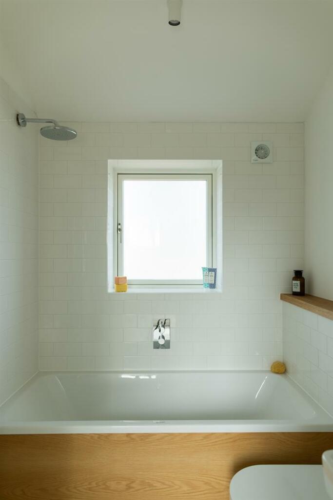
Images


Nearby Streets
| Name | Average Price | Average Sqft | Distance |
|---|---|---|---|
| Nursery Lane | £ 0 | 0 | 0.00 KM |
| Barrack Lane | £ 0 | 0 | 0.00 KM |
| Byng Lane | £ 0 | 0 | 0.00 KM |
| Scott Lane | £ 545,000 | 0 | 0.00 KM |
Nearby Transport
| Name | NLC | TLC | Distance |
|---|---|---|---|
| Melton (Suffolk) | 7221 | MES | 2.83 KM |
| Woodbridge | 7228 | WDB | 5.40 KM |
| Wickham Market | 7227 | WCM | 6.05 KM |
Nearby Listings
| Address | Price | Type | Score | Distance |
|---|---|---|---|---|
| Ufford, Nr Woodbridge, Suffolk | £ 550,000 | BUY | 7 / 10 | 0.07 KM |
| High Street, Ufford, Woodbridge, IP13 | £ 695,000 | BUY | 7 / 10 | 0.08 KM |
| Ufford, Woodbridge | £ 550,000 | BUY | 6 / 10 | 0.11 KM |
| High Street, Ufford, IP13 6EQ | £ 450,000 | BUY | 6 / 10 | 0.14 KM |
| Byng Hall Road, Ufford, IP13 | £ 645,000 | BUY | 6 / 10 | 0.15 KM |
Nearby Properties
| Address | Price | Distance |
|---|---|---|
| 8 Crownfields | £ 240,000 | 0.11 KM |
| 17 Crownfields | £ 242,000 | 0.11 KM |
| 21 Crownfields | £ 269,950 | 0.11 KM |
| 6 Crownfields | £ 249,500 | 0.11 KM |
| 9 Crownfields | £ 269,000 | 0.11 KM |