Close Proximity To Cranbrook High Street
By Peter Buswell
£ 300,000
Reviews
3 out of 5 stars
Peter Buswell says ..
GUIDE PRICE £300,000 TO £310,000 - A spacious two double bedroom semi-detached house with well presented accommodation throughout. A generous west facing garden and patio. Single garage ideal as workshop. CSCA
Property Oracle says ..
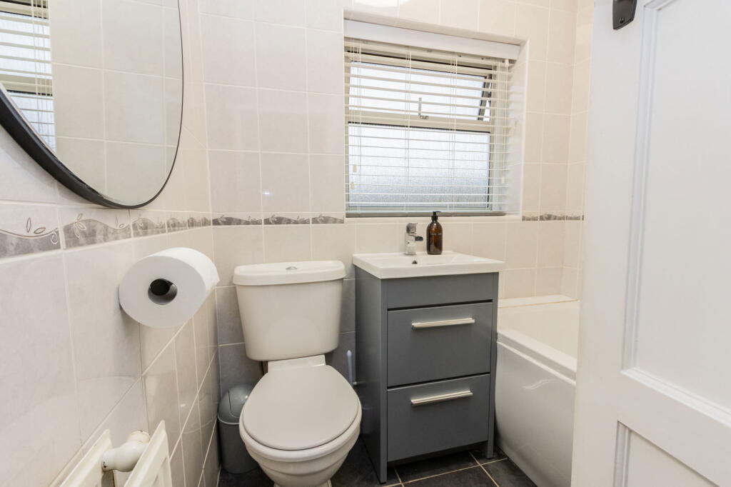
The property is a 2 bedroom, 1 bathroom house located in Cranbrook, Kent. It is close to Cranbrook High Street and has a plot size of 824.70 sqft. The property has recently had some improvements, including a new kitchen and UPVC windows. The location is good, with Cranbrook School (Outstanding Ofsted rating) being only 0.70 km away. Other schools and amenities are also within a reasonable distance. The proximity to Cranbrook High Street provides easy access to shops and other services. The presence of a nearby train station (Staplehurst, 9.04 km) is also a positive factor. Based on the photos, the property appears to be in good condition. The kitchen and bathroom look recently updated. There is some evidence of wear and tear, but nothing that would significantly detract from the overall condition. The garden is relatively small but usable. Considering the average price per sqft in the area is £420.00 and the property is listed at £300,000 with a size of 547.48 sqft, this translates to approximately £548 per sqft. This is significantly higher than the average for the area. However, nearby comparable properties show a range of prices, and this property’s recent renovations may justify the higher price per sqft compared to properties needing modernisation. The smaller plot size compared to the average in the area may also be a factor contributing to the price difference.
Therefore, we give this property 7 / 10. *Disclaimer: This is our option and does constitute a recommendation or financial advice. Do your own research. *
- Price
- 6
- Condition
- 8
- Location
- 9
- Land
- 6
- Bedrooms
- 2
- Bathrooms
- 1
- Sqft (est)
- 547.48
- Lot (est)
- 824.70
The heatmap indicates the level of crime in the area. The color of the heatmap indicates the crime severity and recency.
Metrics Year-on-Year
- Average area value
- 479,433.00 £Decreased by 27.08 %
- Est sale value
- 428,676.84 £Increased by 54.44 %
- Average area rental value
- 1,500.00 £/moDecreased by 23.66 %
- Est letting value
- 1,094.96 £/moIncreased by 100.00 %
- Est rental Yield
- 3.75 %Increased by 4.46 %
- Crime Rate
- 18.00 %Unchanged by 0.00 %
Agent Activity
Peter Buswell created the listing.
Nearby Schools
| Name | Type | Ofsted | Distance |
|---|---|---|---|
| Cranbrook School | Academy Converter | Outstanding | 0.70 KM |
| Belle Vue School | Other Independent Special School | 0.72 KM | |
| Cranbrook Children'S Centre | Children's Centre | 0.94 KM | |
| Cranbrook Church Of England Primary School | Voluntary Controlled School | Good | 0.94 KM |
| High Weald Academy | Academy Sponsor Led | Requires improvement | 1.22 KM |
Images


Nearby Streets
| Name | Average Price | Average Sqft | Distance |
|---|---|---|---|
| Hendley Drive | £ 0 | 0 | 0.00 KM |
| Wheatfield Close | £ 526,650 | 0 | 0.00 KM |
Nearby Transport
| Name | NLC | TLC | Distance |
|---|---|---|---|
| Staplehurst | 5228 | SPU | 9.04 KM |
Nearby Listings
| Address | Price | Type | Score | Distance |
|---|---|---|---|---|
| A No-Onward-Chain Bungalow In Cranbrook | £ 335,000 | BUY | 7 / 10 | 0.20 KM |
| Bramley Drive, Cranbrook, Kent | £ 152,500 | BUY | 6 / 10 | 0.20 KM |
| Bramley Drive, Cranbrook, Kent | £ 230,000 | BUY | 6 / 10 | 0.20 KM |
| Walking Distance To Cranbrook Town | £ 425,000 | BUY | 6 / 10 | 0.23 KM |
| No Onward Chain in Cranbrook | £ 445,000 | BUY | 6 / 10 | 0.23 KM |
Nearby Properties
| Address | Price | Distance |
|---|---|---|
| 18 Broadcloth | £ 187,500 | 0.12 KM |
| 5 Broadcloth | £ 93,500 | 0.12 KM |
| 3 Broadcloth | £ 230,000 | 0.12 KM |
| 1 Broadcloth | £ 163,000 | 0.12 KM |
| 16 Norman Rise | £ 129,995 | 0.20 KM |