
PY
Wheatfields, Whaplode, Spalding, Lincolnshire, PE12
By Pygott & Crone
£ 275,000
Pygott & Crone says ..
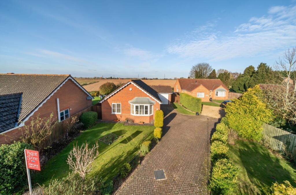
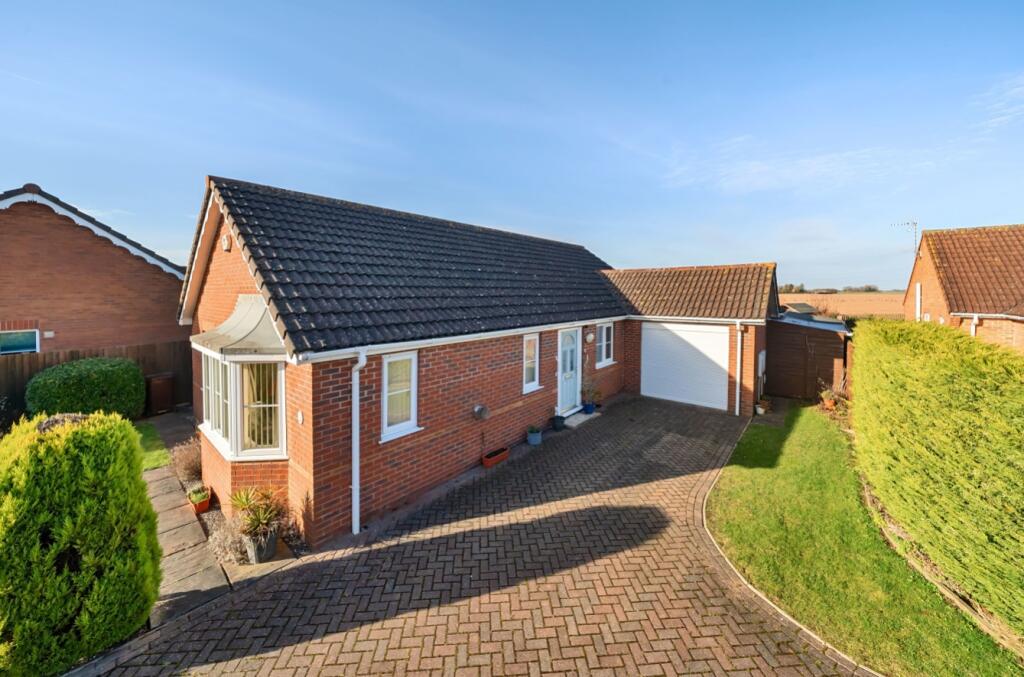
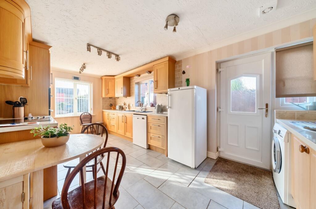
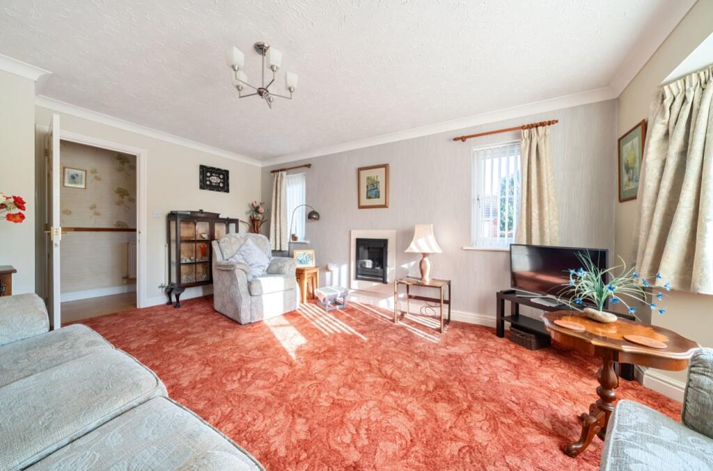
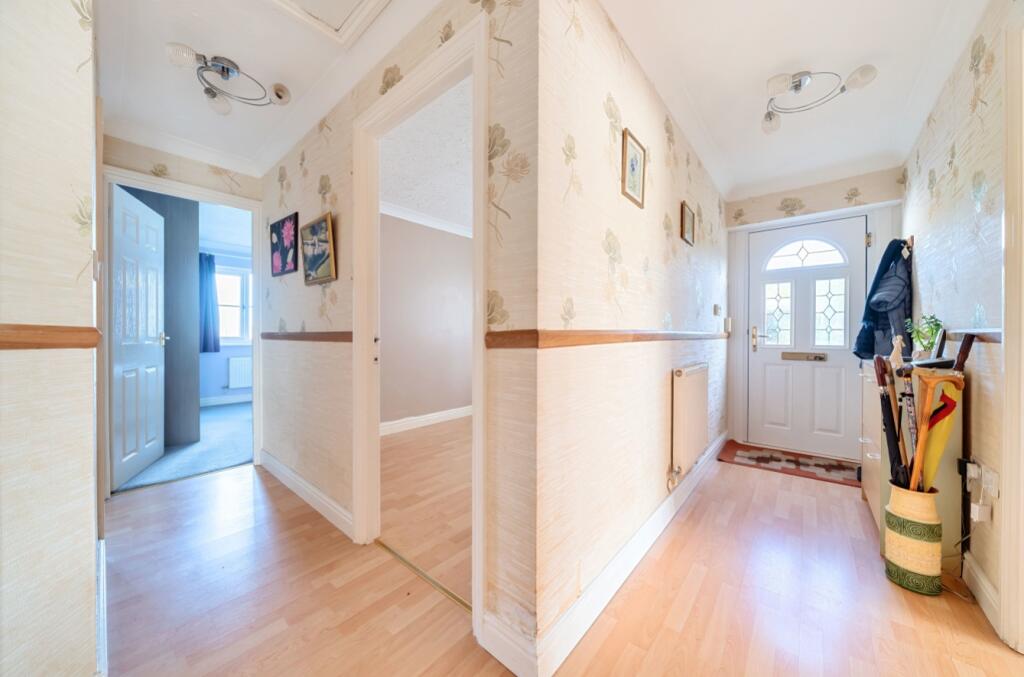
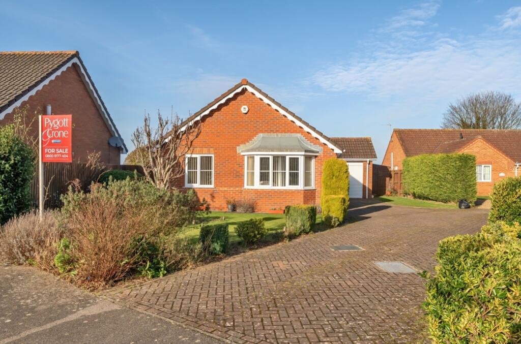
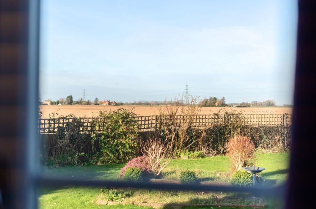
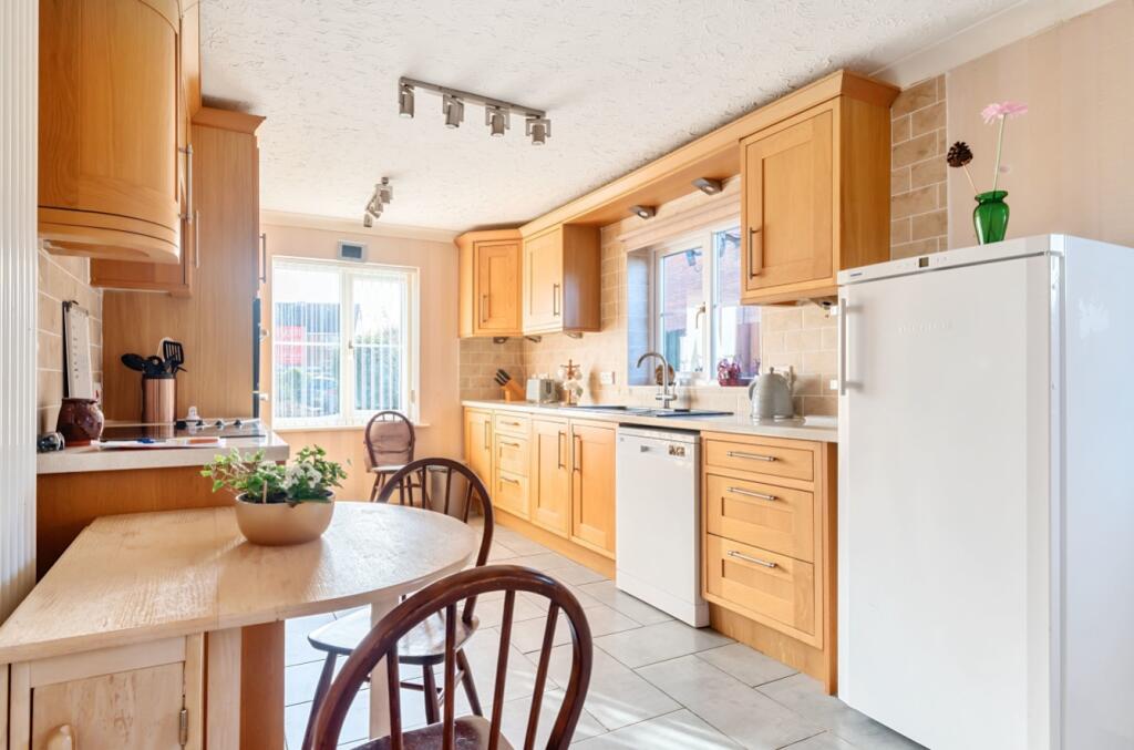
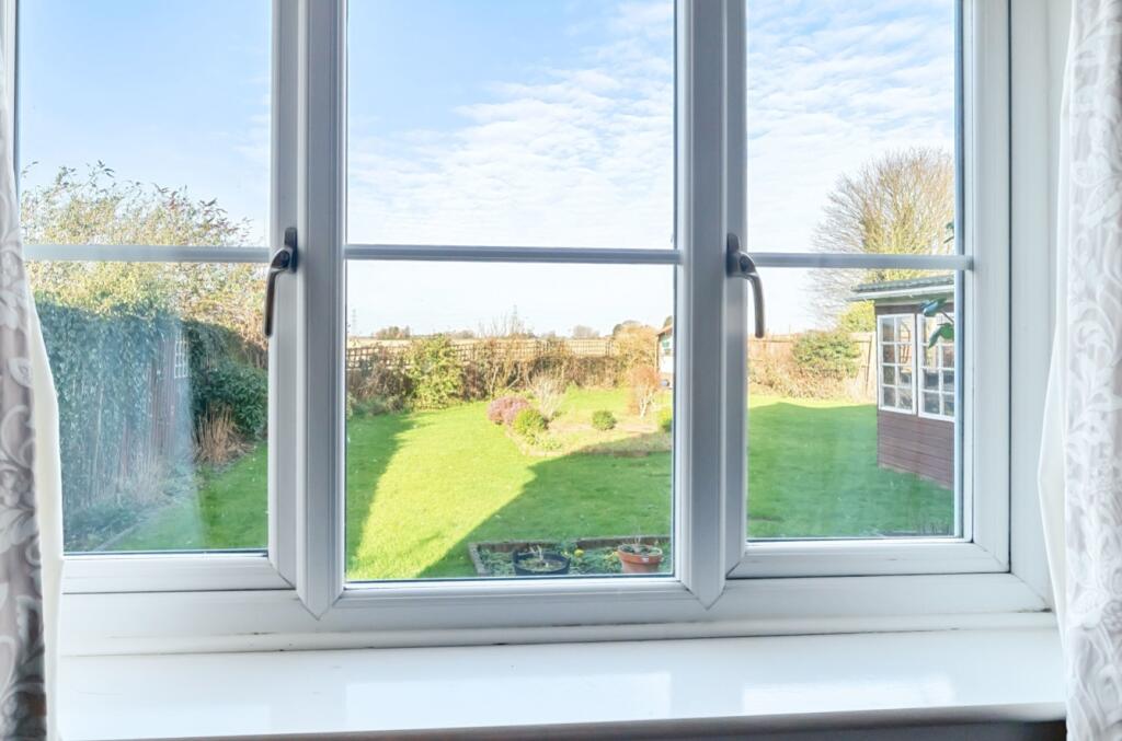
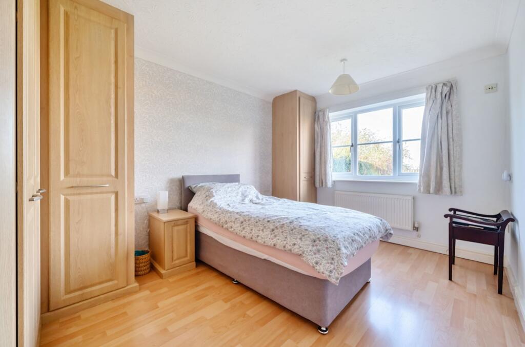
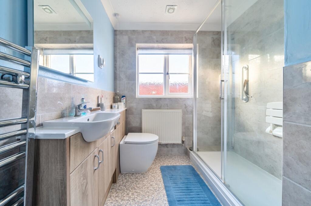
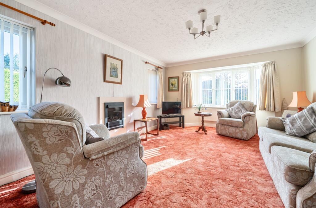
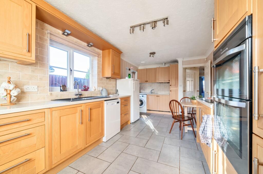
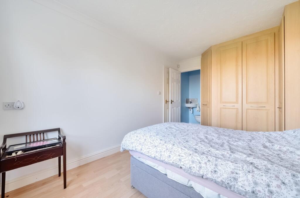
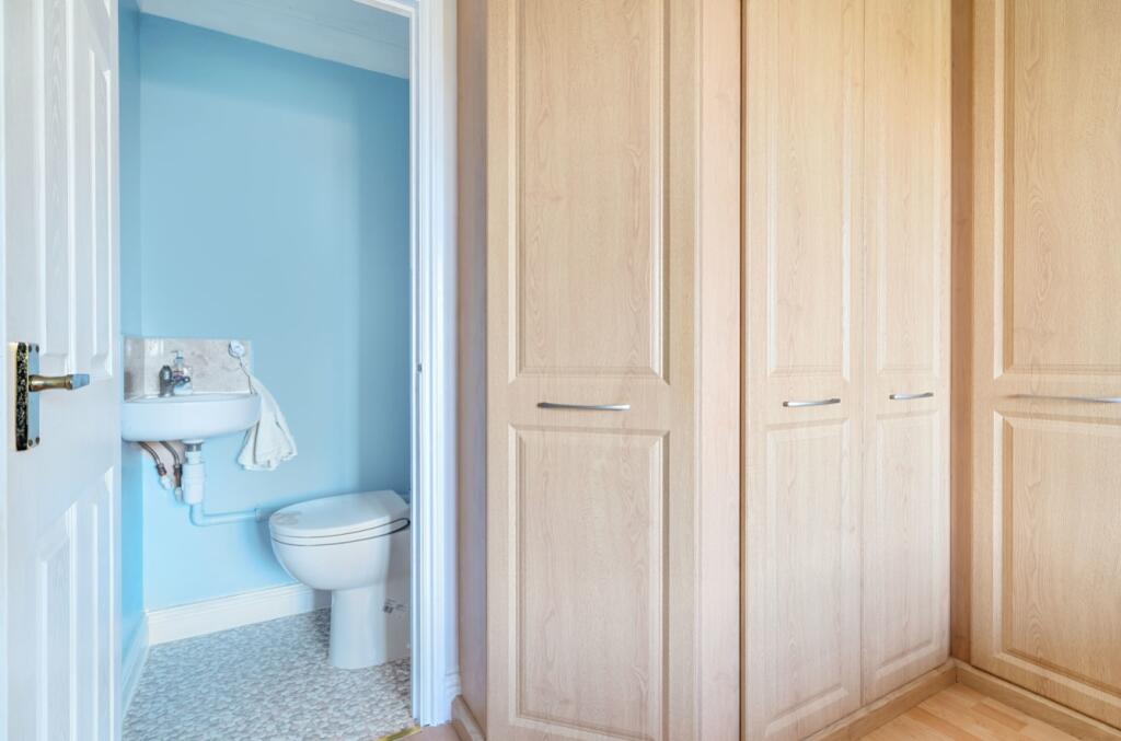
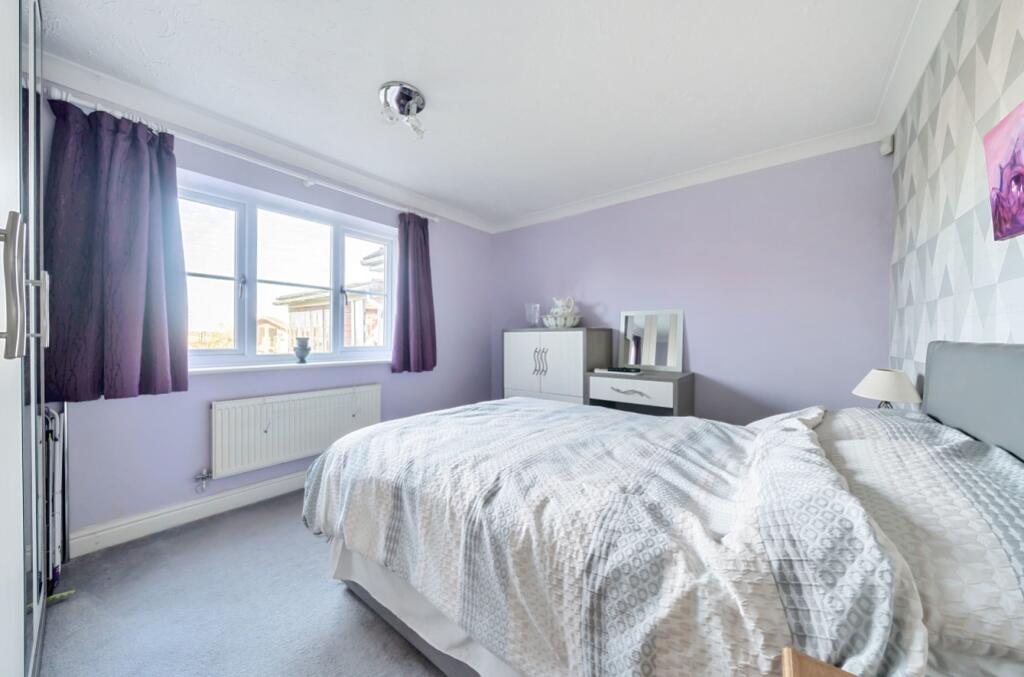
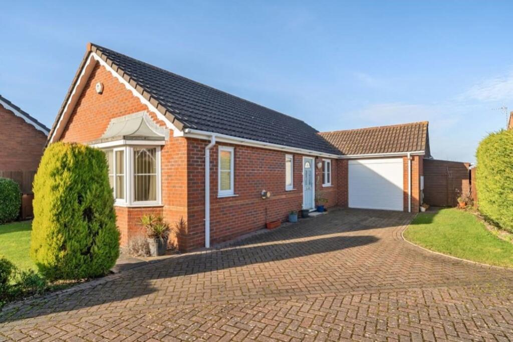
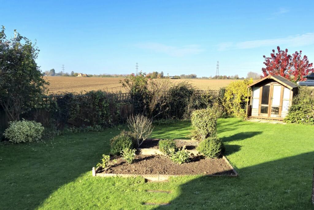
Located within the village of Whaplode, this detached family bungalow is now available, situated within a quiet cul de sac and close to nearby town's of Holbeach and Spalding. This much loved family bungalow briefly comprises; Hallway Entrance, Spacious Breakfast Kitc...
- Bedrooms
- 3
- Bathrooms
- 2


Leaflet © OpenStreetMap contributors
The heatmap indicates the level of crime in the area. The color of the heatmap indicates the crime severity and recency.
Metrics Year-on-Year
- Average area value
- 428,638.00 £Increased by 17.35 %
- Average area rental value
- 1,465.00 £/moIncreased by 23.52 %
- Est rental Yield
- 4.10 %Increased by 5.13 %
- Crime Rate
- 9.00 %Unchanged by 0.00 %
from 365,275.00 £
from 1,186.00 £/mo
from 3.90 %
from 9.00 %
Agent Activity
Pygott & Crone created the listing.
Nearby Schools
| Name | Type | Ofsted | Distance |
|---|---|---|---|
| Whaplode Church Of England Primary School | Academy Converter | 0.31 KM | |
| The John Harrox Primary School, Moulton | Community School | Good | 4.18 KM |
| The Holbeach William Stukeley Church Of England Voluntary Aided Primary School | Voluntary Aided School | Good | 4.36 KM |
| Holbeach And Sutton Bridge Children'S Centre | Children's Centre | 4.56 KM | |
| Holbeach Primary Academy | Academy Converter | Good | 4.58 KM |
Images

Nearby Streets
| Name | Average Price | Average Sqft | Distance |
|---|---|---|---|
| Spiney Close | £ 360,000 | 0 | 0.00 KM |
| Forest Way | £ 63,700 | 0 | 0.00 KM |
| Holly Street | £ 230,000 | 0 | 0.00 KM |
| Jasmine Cresent | £ 226,667 | 0 | 0.00 KM |
| Hall Gate | £ 375,000 | 0 | 0.00 KM |
Nearby Listings
| Address | Price | Type | Score | Distance |
|---|---|---|---|---|
| Wheatfields, Whaplode, Spalding, Lincolnshire, PE12 | £ 275,000 | BUY | Unknown | 0.00 KM |
| Wheatfields, Whaplode, Spalding | £ 330,000 | BUY | 7 / 10 | 0.15 KM |
| High Road, Whaplode | £ 195,000 | BUY | Unknown | 0.31 KM |
| Fieldview Close, Whaplode, Spalding, Lincolnshire, PE12 | £ 375,000 | BUY | Unknown | 0.35 KM |
| Fieldview Close, Whaplode | £ 539,500 | BUY | Unknown | 0.35 KM |
Nearby Properties
| Address | Price | Distance |
|---|---|---|
| 18 Wheatfields | £ 185,000 | 0.01 KM |
| 17 Wheatfields | £ 194,995 | 0.01 KM |
| 12 Wheatfields | £ 272,500 | 0.01 KM |
| 19 Wheatfields | £ 215,000 | 0.01 KM |
| 2 Wheatfields | £ 225,000 | 0.01 KM |