LE
Linden Road, PO21
By Leaders Lettings
£ 1,550
Leaders Lettings says ..
NO DEPOSIT OPTION - AVAILABLE FEBRUARY - TOWN CENTRE LOCATION - CLOSE TO SHOPS - NEARBY TRANSPORT LINKS - GAS CENTRAL HEATING
- Bedrooms
- 3
- Bathrooms
- 1
The heatmap indicates the level of crime in the area. The color of the heatmap indicates the crime severity and recency.
Metrics Year-on-Year
- Average area value
- 761,083.00 £Increased by 6.90 %
- Average area rental value
- 2,056.00 £/moDecreased by 3.34 %
- Est rental Yield
- 3.24 %Decreased by 9.75 %
- Crime Rate
- 16.00 %Unchanged by 0.00 %
from 711,963.00 £
from 2,127.00 £/mo
from 3.59 %
from 16.00 %
Agent Activity
Leaders Lettings created the listing.
Nearby Schools
| Name | Type | Ofsted | Distance |
|---|---|---|---|
| Bognor Regis Nursery School | Local Authority Nursery School | Outstanding | 0.33 KM |
| Bognor Children And Family Centre | Children's Centre | 0.37 KM | |
| Edward Bryant School | Academy Converter | Good | 0.67 KM |
| St Mary'S Catholic Primary School | Voluntary Aided School | Good | 0.77 KM |
| South Bersted Cofe Primary School | Voluntary Controlled School | Good | 1.00 KM |
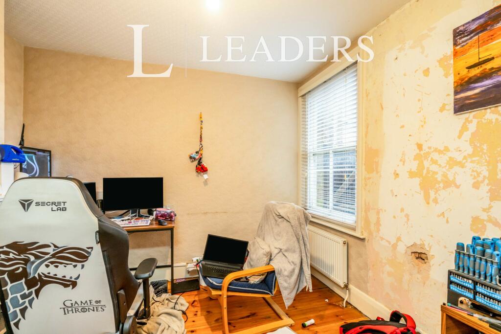
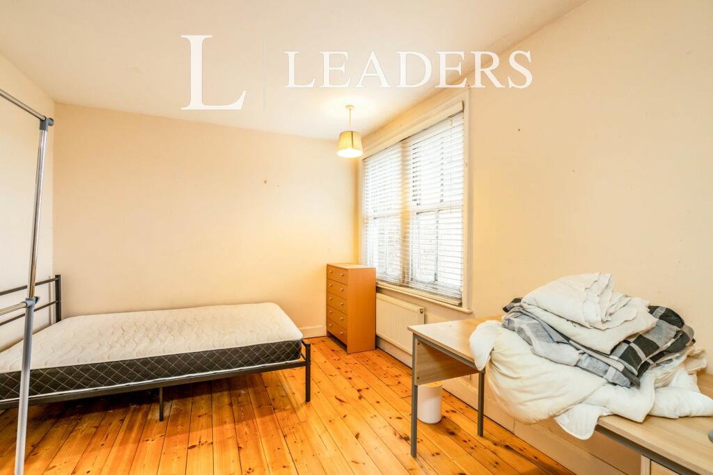
Images


Nearby Streets
| Name | Average Price | Average Sqft | Distance |
|---|---|---|---|
| Stanley Close | £ 90,000 | 0 | 0.00 KM |
| Gordon Avenue | £ 0 | 0 | 0.00 KM |
| Hawthorn Road | £ 265,000 | 0 | 0.00 KM |
| The Paddock | £ 289,950 | 0 | 0.00 KM |
| Chichester Road | £ 316,667 | 0 | 0.00 KM |
Nearby Transport
| Name | NLC | TLC | Distance |
|---|---|---|---|
| Bognor Regis | 5253 | BOG | 0.26 KM |
| Barnham | 5252 | BAA | 6.45 KM |
Nearby Listings
| Address | Price | Type | Score | Distance |
|---|---|---|---|---|
| Linden Road, PO21 | £ 1,550 | RENT | Unknown | 0.00 KM |
| Linden Road, BOGNOR REGIS | £ 1,550 | RENT | Unknown | 0.00 KM |
| Linden Road, Bognor Regis | £ 825 | RENT | Unknown | 0.00 KM |
| Linden Road, Bognor Regis, PO21 | £ 875 | RENT | Unknown | 0.02 KM |
| Havelock Road, PO21 | £ 1,550 | RENT | Unknown | 0.11 KM |
Nearby Properties
| Address | Price | Distance |
|---|---|---|
| 40 Linden Road | £ 145,000 | 0.00 KM |
| 46 Linden Road | £ 180,000 | 0.01 KM |
| 38 Linden Road | £ 219,000 | 0.01 KM |
| 32 Linden Road | £ 175,000 | 0.01 KM |
| 36 Linden Road | £ 240,000 | 0.01 KM |