
Lee, Romsey, Hampshire, SO51
By Charters
£ 2,250
Charters says ..
This tastefully finished, traditional three double bedroom, detached property is set within the Broadlands Estate. Surrounded by fields the house benefits from a very private aspect.
- Bedrooms
- 3
- Bathrooms
- 1
The heatmap indicates the level of crime in the area. The color of the heatmap indicates the crime severity and recency.
Metrics Year-on-Year
- Average area value
- 397,143.00 £Increased by 19.84 %
- Average area rental value
- 950.00 £/moDecreased by 13.08 %
- Est rental Yield
- 2.87 %Decreased by 27.53 %
- Crime Rate
- 0.00 %
from 331,408.00 £
from 1,093.00 £/mo
from 3.96 %
from 0.00 %
Agent Activity
Charters created the listing.
Nearby Schools
| Name | Type | Ofsted | Distance |
|---|---|---|---|
| Romsey Abbey Church Of England Primary School | Voluntary Aided School | Good | 3.30 KM |
| Nursling Church Of England Primary School | Voluntary Controlled School | Good | 3.31 KM |
| The Mountbatten School | Academy Converter | Good | 3.41 KM |
| Romsey Primary School | Community School | Good | 3.53 KM |
| The Romsey School | Academy Converter | Good | 3.61 KM |
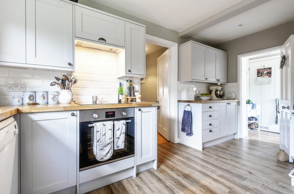
Images


Nearby Streets
| Name | Average Price | Average Sqft | Distance |
|---|---|---|---|
| Lee Drove | £ 0 | 0 | 0.00 KM |
| Lee Church Lane | £ 0 | 0 | 0.00 KM |
| Lee Lane | £ 0 | 0 | 0.00 KM |
| Avenue | £ 0 | 0 | 0.00 KM |
Nearby Transport
| Name | NLC | TLC | Distance |
|---|---|---|---|
| Romsey | 5943 | ROM | 3.34 KM |
| Totton | 5921 | TTN | 5.08 KM |
| Redbridge | 5912 | RDB | 5.31 KM |
| Millbrook (Hants) | 5909 | MBK | 8.56 KM |
| Ashurst New Forest | 5906 | ANF | 8.97 KM |
Nearby Listings
| Address | Price | Type | Score | Distance |
|---|---|---|---|---|
| Lee Lane, Lee, Romsey, Hampshire, SO51 | £ 2,500 | RENT | Unknown | 1.41 KM |
| Upton Lane, Nursling, Southampton, Hampshire, SO16 | £ 850 | RENT | Unknown | 1.89 KM |
| Upton Lane, Nursling, Southampton, Hampshire, SO16 | £ 850 | RENT | Unknown | 1.89 KM |