XE
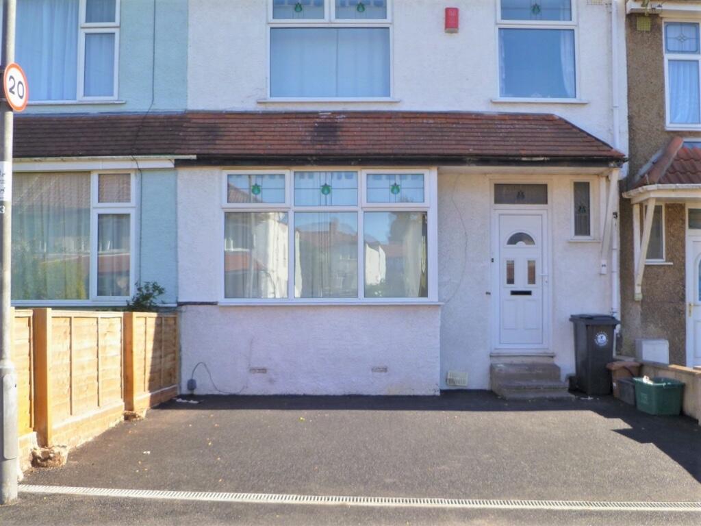
Sandling Avenue, Bristol, BS7
By Xeno Property
£ 2,800
Xeno Property says ..
STUDENT ACCOMMODATION | PERFECT FOR A CLOSE KNIT GROUP | EASY ACCESS TO UWE
- Bedrooms
- 4
- Bathrooms
- 1
The heatmap indicates the level of crime in the area. The color of the heatmap indicates the crime severity and recency.
Metrics Year-on-Year
- Average area value
- 323,325.00 £Decreased by 19.58 %
- Average area rental value
- 2,079.00 £/moIncreased by 10.59 %
- Est rental Yield
- 7.72 %Increased by 37.61 %
- Crime Rate
- 3.00 %Unchanged by 0.00 %
from 402,057.00 £
from 1,880.00 £/mo
from 5.61 %
from 3.00 %
Agent Activity
Xeno Property created the listing.
Nearby Schools
| Name | Type | Ofsted | Distance |
|---|---|---|---|
| Filton Avenue Primary School | Academy Converter | Requires improvement | 0.31 KM |
| Filton Avenue Nursery School | Local Authority Nursery School | Outstanding | 0.32 KM |
| Filton Avenue Nursery School And Children'S Centre | Children's Centre | 0.38 KM | |
| Upper Horfield Primary School | Community School | Requires improvement | 0.62 KM |
| Upper Horfield Children'S Centre & Community School | Children's Centre | 0.65 KM |
Images


Nearby Streets
| Name | Average Price | Average Sqft | Distance |
|---|---|---|---|
| Newbury Road | £ 335,000 | 0 | 0.00 KM |
| Joyce Close | £ 0 | 0 | 0.00 KM |
| Buxton Walk | £ 0 | 0 | 0.00 KM |
| Ruskin Grove | £ 0 | 0 | 0.00 KM |
| Eliot Close | £ 345,000 | 0 | 0.00 KM |
Nearby Transport
| Name | NLC | TLC | Distance |
|---|---|---|---|
| Filton Abbey Wood | 3235 | FIT | 2.03 KM |
| Montpelier | 3203 | MTP | 3.08 KM |
| Stapleton Road | 3250 | SRD | 3.09 KM |
| Redland | 3247 | RDA | 3.73 KM |
| Patchway | 3213 | PWY | 3.94 KM |
Nearby Listings
| Address | Price | Type | Score | Distance |
|---|---|---|---|---|
| Sandling Avenue Horfield | £ 1,100 | RENT | Unknown | 0.00 KM |
| Filton Avenue, Horfield, Bristol | £ 1,050 | RENT | Unknown | 0.10 KM |
| Filton Avenue, Bristol, BS7 | £ 700 | RENT | Unknown | 0.10 KM |
| Sandling Avenue, Bristol | £ 1,750 | RENT | Unknown | 0.10 KM |
| Dorchester Road, Horfield, Bristol, BS7 | £ 2,400 | RENT | Unknown | 0.12 KM |
Nearby Properties
| Address | Price | Distance |
|---|---|---|
| 42 Sandling Avenue | £ 265,000 | 0.00 KM |
| 68 Sandling Avenue | £ 87,000 | 0.00 KM |
| 58 Sandling Avenue | £ 283,000 | 0.00 KM |
| 32 Sandling Avenue | £ 133,000 | 0.00 KM |
| 10 Sandling Avenue | £ 260,000 | 0.00 KM |