
MA
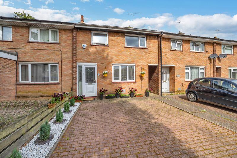
Oliver Road, Bury St. Edmunds
By Mark Ewin
£ 210,000
Mark Ewin says ..
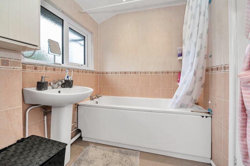
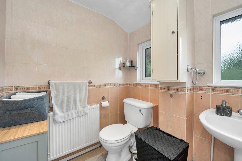
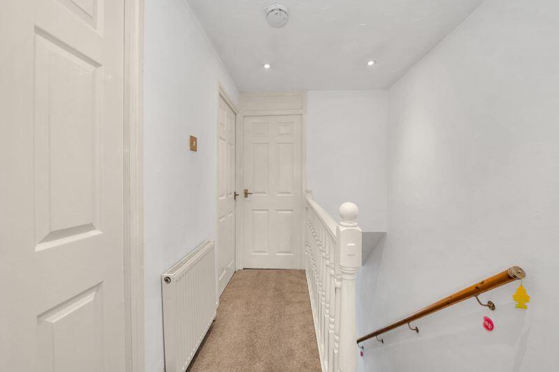
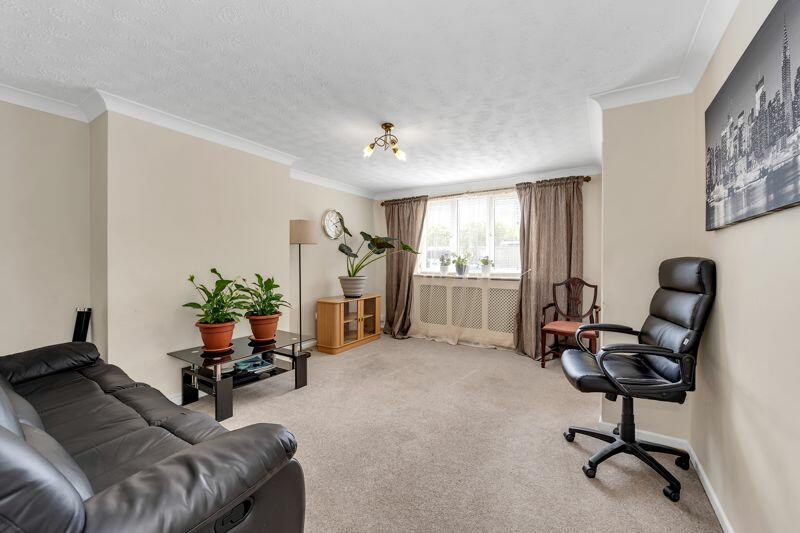
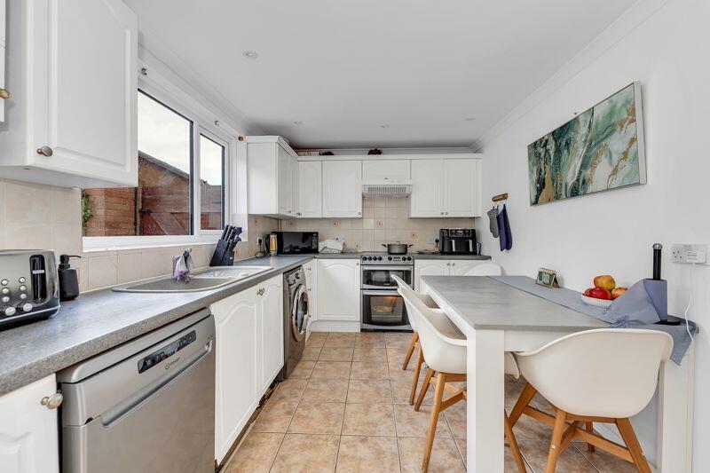
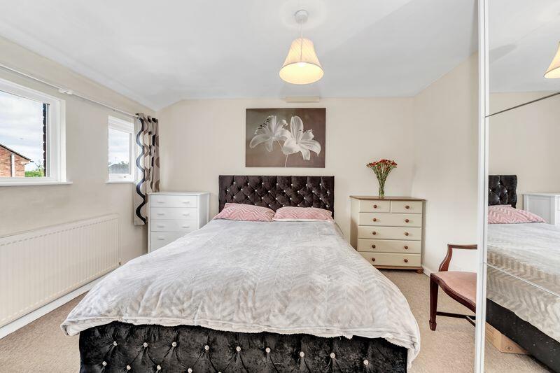
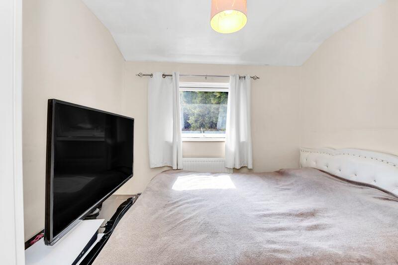
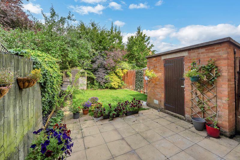
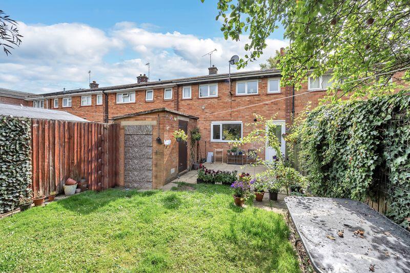
Situated on the popular Westley estate of Bury St Edmunds is this well-presented three-bedroom terrace property. The property offers ground floor accommodation of an entrance hall, welcoming sitting room and well-appointed kitchen/dining room. On the first floor, there are three good-sized bedroo...
- Bedrooms
- 3
- Bathrooms
- 1


Leaflet © OpenStreetMap contributors
The heatmap indicates the level of crime in the area. The color of the heatmap indicates the crime severity and recency.
Metrics Year-on-Year
- Average area value
- 342,368.00 £Decreased by 7.44 %
- Average area rental value
- 1,297.00 £/moDecreased by 26.14 %
- Est rental Yield
- 4.55 %Decreased by 20.18 %
- Crime Rate
- 25.00 %Unchanged by 0.00 %
from 369,896.00 £
from 1,756.00 £/mo
from 5.70 %
from 25.00 %
Agent Activity
Mark Ewin created the listing.
Nearby Schools
| Name | Type | Ofsted | Distance |
|---|---|---|---|
| Westley Middle School | Academy Converter | Good | 0.27 KM |
| Sexton'S Manor Community Primary School | Community School | Good | 0.54 KM |
| Howard Community Academy | Academy Sponsor Led | 1.73 KM | |
| Horringer Court Middle School | Academy Converter | Good | 1.75 KM |
| The Albany | Academy Alternative Provision Converter | 1.97 KM |
Images

Nearby Streets
| Name | Average Price | Average Sqft | Distance |
|---|---|---|---|
| Western Way (East) | £ 765,000 | 0 | 0.00 KM |
| Langton Road | £ 325,000 | 0 | 0.00 KM |
| Pretty Close | £ 495,000 | 0 | 0.00 KM |
| Pettits Drive | £ 349,995 | 0 | 0.00 KM |
| Westley Lane | £ 0 | 0 | 0.00 KM |
Nearby Transport
| Name | NLC | TLC | Distance |
|---|---|---|---|
| Bury St Edmunds | 7008 | BSE | 3.66 KM |
Nearby Listings
| Address | Price | Type | Score | Distance |
|---|---|---|---|---|
| Oliver Road, Bury St. Edmunds | £ 210,000 | BUY | Unknown | 0.00 KM |
| Reynolds Walk, Bury St Edmunds | £ 190,000 | BUY | Unknown | 0.09 KM |
| Tomline Walk, Bury St. Edmunds | £ 250,000 | BUY | Unknown | 0.12 KM |
| Oliver Road, Bury St Edmunds | £ 230,000 | BUY | Unknown | 0.21 KM |
| Hanmer Walk, Bury St. Edmunds, Suffolk | £ 260,000 | BUY | 5 / 10 | 0.38 KM |
Nearby Properties
| Address | Price | Distance |
|---|---|---|
| 123 Oliver Road | £ 240,000 | 0.08 KM |
| 167 Oliver Road | £ 225,000 | 0.08 KM |
| 149 Oliver Road | £ 220,000 | 0.08 KM |
| 95 Oliver Road | £ 348,000 | 0.08 KM |
| 155 Oliver Road | £ 154,000 | 0.08 KM |