EN
Queens Road, Royston, SG8
By Ensum Brown
£ 185,000
Ensum Brown says ..
NOT FAMILIAR WITH ROYSTON?
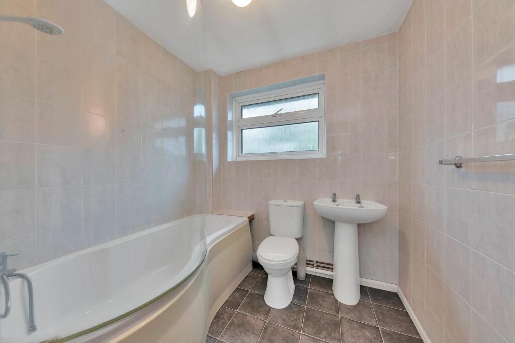
- Bedrooms
- 2
- Bathrooms
- 1
The heatmap indicates the level of crime in the area. The color of the heatmap indicates the crime severity and recency.
Metrics Year-on-Year
- Average area value
- 345,333.00 £Decreased by 15.62 %
- Average area rental value
- 1,049.00 £/moIncreased by 2.94 %
- Est rental Yield
- 3.65 %Increased by 22.07 %
- Crime Rate
- 34.00 %Unchanged by 0.00 %
from 409,240.00 £
from 1,019.00 £/mo
from 2.99 %
from 34.00 %
Agent Activity
Ensum Brown created the listing.
Nearby Schools
| Name | Type | Ofsted | Distance |
|---|---|---|---|
| Tannery Drift School | Community School | Good | 0.47 KM |
| St Mary Roman Catholic Primary School | Academy Converter | Outstanding | 0.65 KM |
| Roman Way Academy | Academy Sponsor Led | 0.74 KM | |
| Nh1 Royston And Villages Family Centre | Children's Centre | 0.74 KM | |
| Studlands Rise First School | Community School | Good | 1.42 KM |
Images


Nearby Streets
| Name | Average Price | Average Sqft | Distance |
|---|---|---|---|
| Rivermill Court | £ 0 | 0 | 0.00 KM |
| Green Drift | £ 0 | 0 | 0.00 KM |
| Evans Close | £ 0 | 0 | 0.00 KM |
| Butchers Baulk | £ 0 | 0 | 0.00 KM |
| Cain Court | £ 0 | 0 | 0.00 KM |
Nearby Transport
| Name | NLC | TLC | Distance |
|---|---|---|---|
| Royston | 6090 | RYS | 0.18 KM |
| Meldreth | 7036 | MEL | 5.66 KM |
| Shepreth | 7044 | STH | 9.25 KM |
| Ashwell And Morden | 6083 | AWM | 9.66 KM |
Nearby Listings
| Address | Price | Type | Score | Distance |
|---|---|---|---|---|
| Queens Road, Royston - A few moments from Royston train station! | £ 220,000 | BUY | 4 / 10 | 0.06 KM |
| Kneesworth Street, Rivermill Court Kneesworth Street, SG8 | £ 300,000 | BUY | 7 / 10 | 0.06 KM |
| Queens Road, Royston, Hertfordshire, SG8 | £ 190,000 | BUY | 5 / 10 | 0.06 KM |
| Queens Road, Spectra House Queens Road, SG8 | £ 180,000 | BUY | 6 / 10 | 0.07 KM |
| Kneesworth Street, Royston, SG8 | £ 225,000 | BUY | 6 / 10 | 0.08 KM |
Nearby Properties
| Address | Price | Distance |
|---|---|---|
| 16a Queens Road | £ 176,550 | 0.04 KM |
| 32 Queens Road | £ 232,000 | 0.04 KM |
| 26 Queens Road | £ 325,000 | 0.04 KM |
| 14 Queens Road | £ 127,000 | 0.04 KM |
| 14 Clark Road | £ 140,000 | 0.08 KM |