
Upper Bourne Lane, Farnham, Surrey, GU10
By Andrew Lodge
£ 100,000
Reviews
2 out of 5 stars
Andrew Lodge says ..
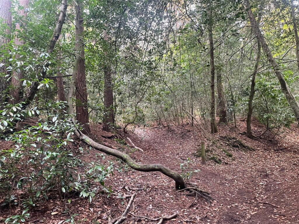
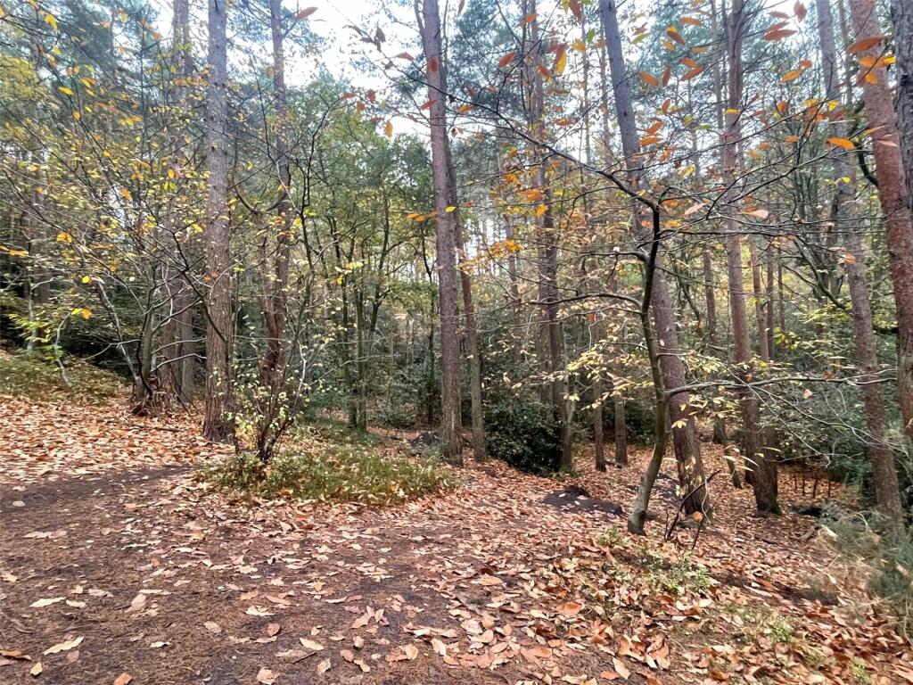
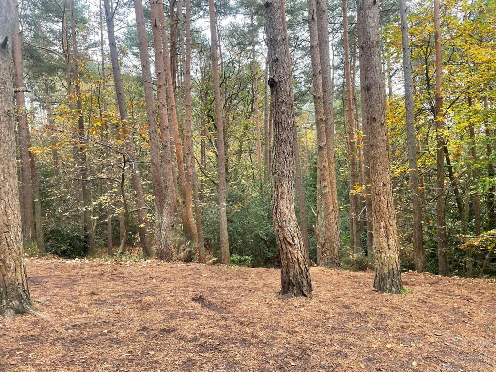
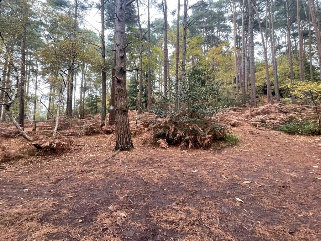
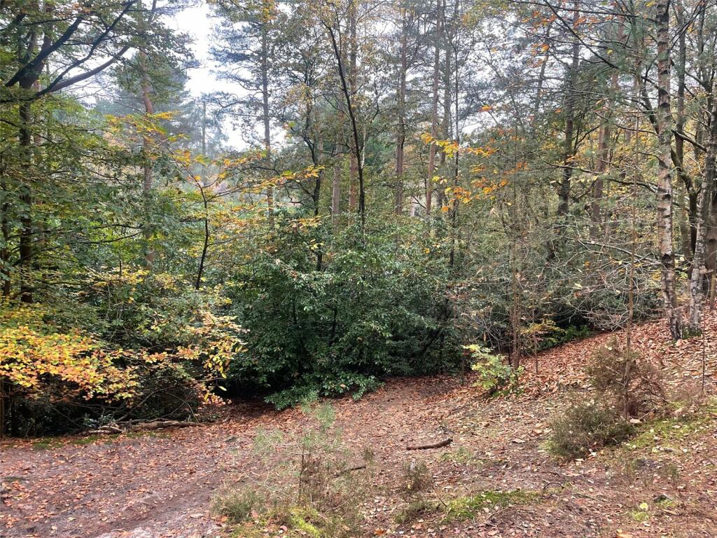
An opportunity to acquire circa 2.66 acres of attractive woodland in a secluded setting with access onto Celery Lane leading to Burnt Hill Road
Property Oracle says ..
This listing is for a plot of land located in Farnham, Surrey, near to Celery Lane. The property consists of approximately 2.66 acres of woodland. The area is well-situated near Farnham, offering access to transport links and good schools, increasing the land’s potential value. However, several key factors must be considered.
The lack of existing structures means there’s no building to assess. There’s no information on whether planning permission is in place for any kind of building or development, which is crucial for determining the value of the land. Local property values are high, as seen from the nearby residential sales, but this does not necessarily reflect the price of undeveloped land, and the absence of key details presents an uncertain picture regarding the land’s suitability for development. Consequently, a potential buyer would need to investigate thoroughly before committing. The absence of basic amenities like bedrooms and bathrooms makes this a purely speculative investment. Further investigation into planning permission, potential building costs and environmental factors would be essential before confirming the property’s worth.
Therefore, we give this property 5 / 10. *Disclaimer: This is our option and does constitute a recommendation or financial advice. Do your own research. *
- Price
- 4
- Condition
- 1
- Location
- 7
- Land
- 8
- Bedrooms
- 0
- Bathrooms
- 0


The heatmap indicates the level of crime in the area. The color of the heatmap indicates the crime severity and recency.
Metrics Year-on-Year
- Average area value
- 256,563.00 £Increased by 2.91 %
- Average area rental value
- 1,240.00 £/moIncreased by 12.12 %
- Est rental Yield
- 5.80 %Increased by 9.02 %
- Crime Rate
- 0.00 %
Agent Activity
Andrew Lodge created the listing.
Nearby Schools
| Name | Type | Ofsted | Distance |
|---|---|---|---|
| St Peter'S Cofe Primary School | Voluntary Aided School | Good | 1.17 KM |
| The Ridgeway School | Academy Special Converter | Outstanding | 1.34 KM |
| Highfield South Farnham School | Academy Sponsor Led | Outstanding | 1.43 KM |
| Edgeborough School | Other Independent School | 1.52 KM | |
| Weydon School | Academy Converter | 1.60 KM |
Images


Nearby Streets
| Name | Average Price | Average Sqft | Distance |
|---|---|---|---|
| Celery Lane | £ 0 | 0 | 0.00 KM |
| Longdown Road | £ 1,400,000 | 0 | 0.00 KM |
| Potters Mews | £ 1,250,000 | 0 | 0.00 KM |
| Garth Close | £ 925,000 | 0 | 0.00 KM |
| Greenfield Road | £ 0 | 0 | 0.00 KM |
Nearby Transport
| Name | NLC | TLC | Distance |
|---|---|---|---|
| Farnham | 5545 | FNH | 2.31 KM |
| Bentley (Hampshire) | 5624 | BTY | 7.36 KM |
| Aldershot | 5623 | AHT | 7.53 KM |
Nearby Listings
| Address | Price | Type | Score | Distance |
|---|---|---|---|---|
| Upper Bourne Lane, Farnham, Surrey, GU10 | £ 100,000 | BUY | 5 / 10 | 0.00 KM |
| Burnt Hill Way, Farnham, Surrey, GU10 | £ 1,099,999 | BUY | Unknown | 0.37 KM |
| Boundstone Close, Wrecclesham, Farnham, Surrey, GU10 | £ 755,000 | BUY | 6 / 10 | 0.37 KM |
| Burnt Hill Way, Wrecclesham, Farnham, Surrey, GU10 | £ 700,000 | BUY | 6 / 10 | 0.44 KM |
| Middle Bourne Lane, Lower Bourne, Farnham, Surrey, GU10 | £ 900,000 | BUY | 6 / 10 | 0.45 KM |
Nearby Properties
| Address | Price | Distance |
|---|---|---|
| 28 Burnt Hill Road | £ 965,000 | 0.15 KM |
| 40 Burnt Hill Road | £ 675,000 | 0.15 KM |
| 34a Burnt Hill Road | £ 740,000 | 0.15 KM |
| 32 Burnt Hill Road | £ 745,000 | 0.19 KM |
| 34 Burnt Hill Road | £ 695,100 | 0.19 KM |