
Flat 11, 940 St Albans Road, Watford, WD25
By Imagine
£ 312,500
Reviews
3 out of 5 stars
Imagine says ..
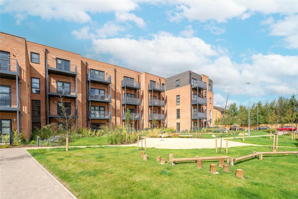
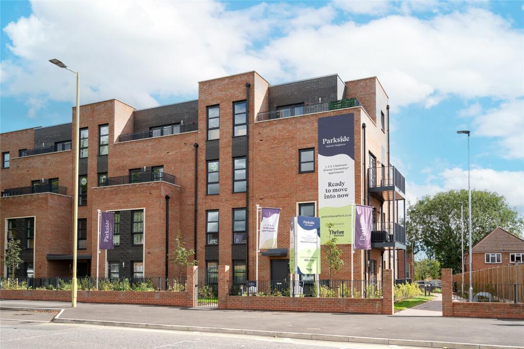
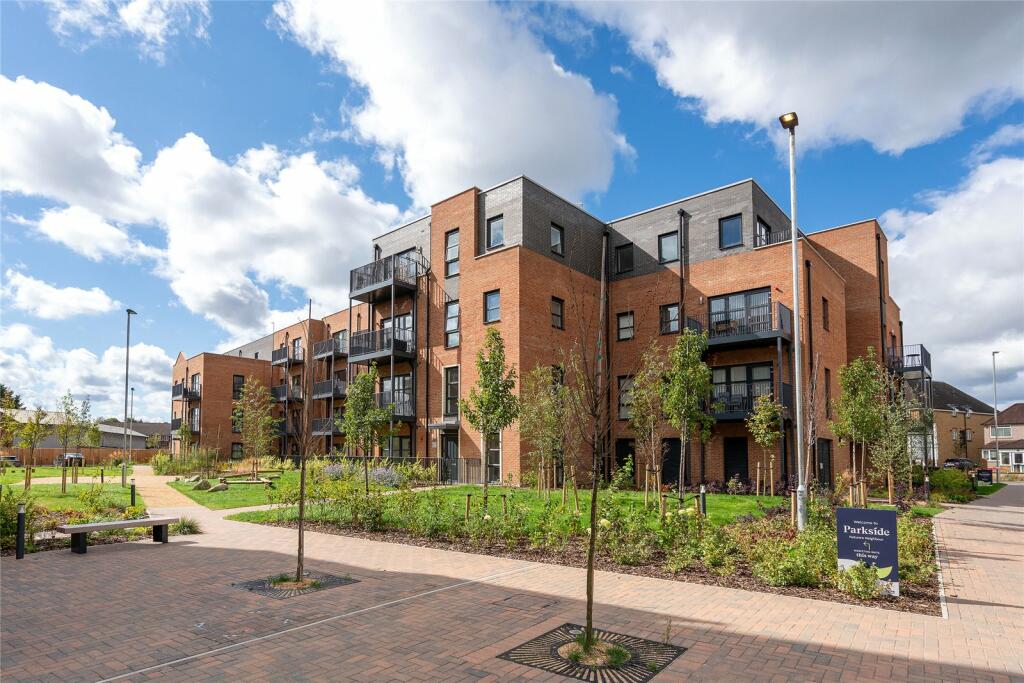
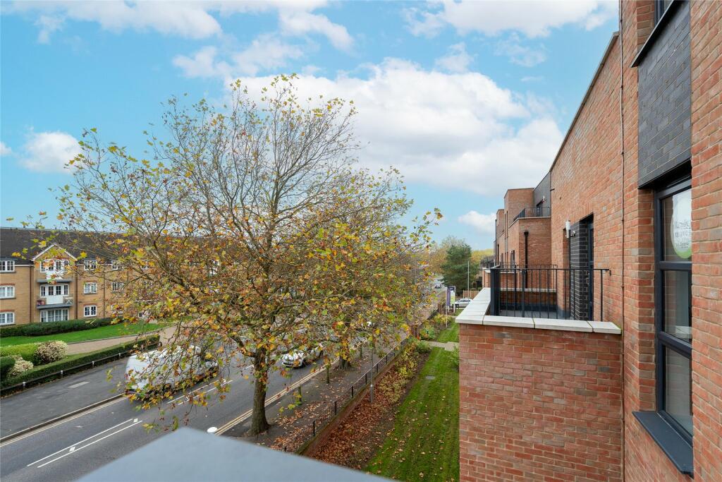
This new development backs onto the beautiful Garston Park, which spans 6.4 hectares, half of which is a local nature reserve. Parkside is a 10-minute drive from Watford town centre and Garston mainline station is within a short walking distance and connects you to Watford Junction in ...
Property Oracle says ..
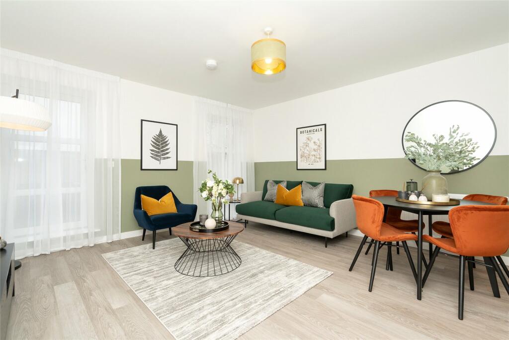
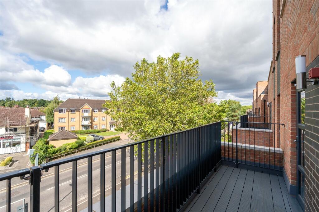
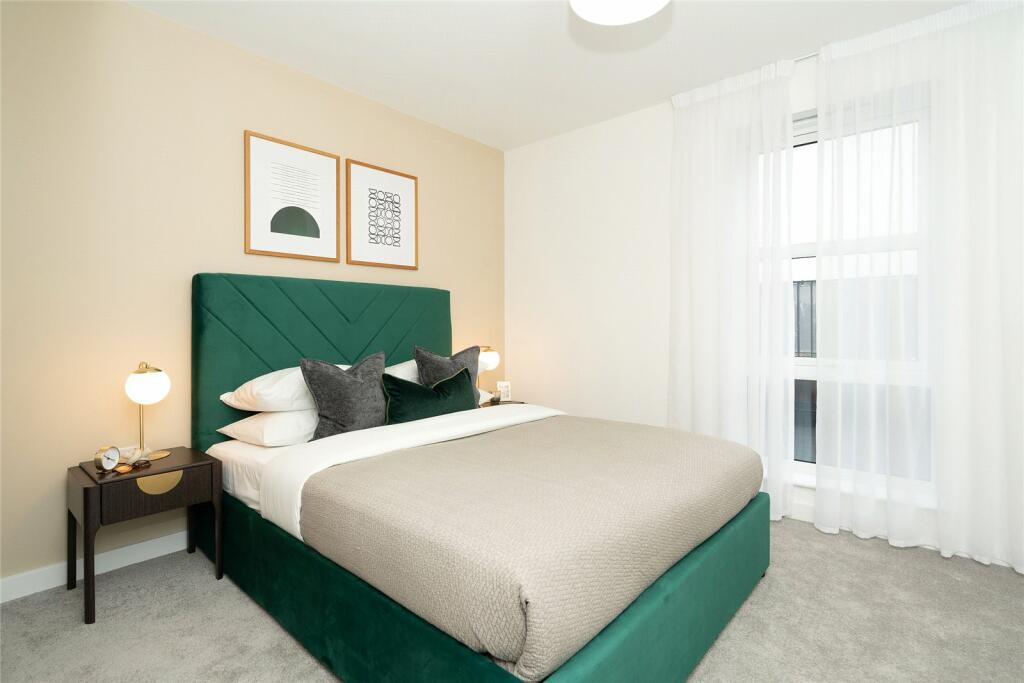
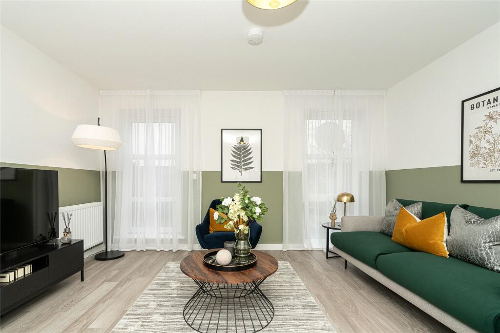
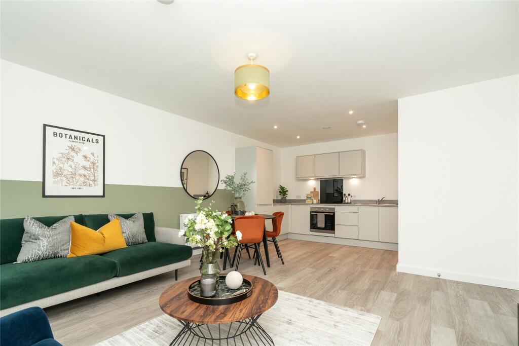
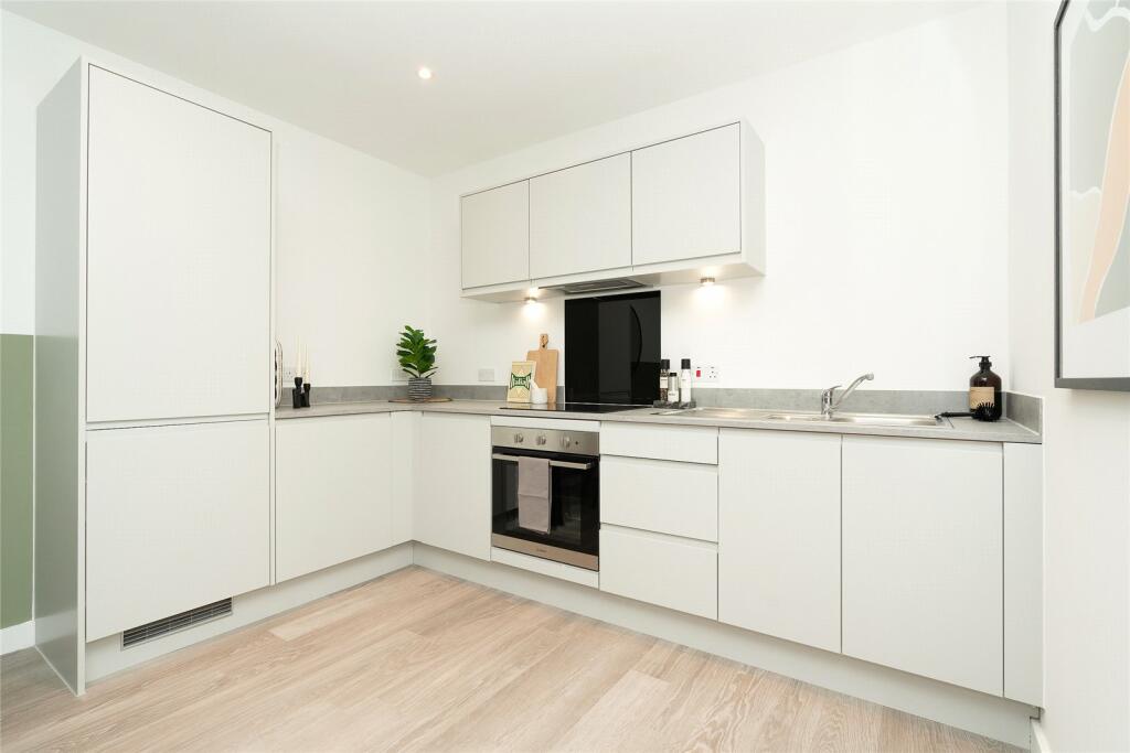
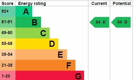
This one-bedroom, one-bathroom apartment located at Flat 11, 940 St Albans Road, Watford, WD25, is a modern property situated in a convenient location. The apartment is part of a new development, exhibiting high-quality finishes and a contemporary interior design. Images reveal a spacious living area, a well-equipped kitchen, and a private balcony, all appearing to be in excellent condition. Its proximity to Garston station offers easy commutes, and the presence of several well-rated schools nearby enhances its family appeal. While the lack of a garden and significant plot size is a drawback for some, the modern finishes and convenient location make this apartment a suitable option for first-time buyers, young professionals, or investors seeking a property in relatively good condition. A key factor to consider is the price variance of nearby properties, some significantly higher, indicating a degree of variability in the market. Further market research may be beneficial to ascertain the full scope of the property’s value in the current market. The Energy Performance Certificate (EPC) rating of B also highlights the energy efficiency of the property, contributing positively to its overall appeal.
Therefore, we give this property 6 / 10. *Disclaimer: This is our option and does constitute a recommendation or financial advice. Do your own research. *
- Price
- 7
- Condition
- 9
- Location
- 7
- Land
- 2
- Bedrooms
- 1
- Bathrooms
- 1
- Sqft (est)
- 567.20


The heatmap indicates the level of crime in the area. The color of the heatmap indicates the crime severity and recency.
Metrics Year-on-Year
- Average area value
- 483,067.00 £Decreased by 4.30 %
- Est sale value
- 228,014.40 £Decreased by 20.08 %
- Average area rental value
- 1,457.00 £/moIncreased by 1.53 %
- Est letting value
- 567.20 £/moUnchanged by 0.00 %
- Est rental Yield
- 3.62 %Increased by 6.16 %
- Crime Rate
- 10.00 %Unchanged by 0.00 %
Agent Activity
Imagine created the listing.
Nearby Schools
| Name | Type | Ofsted | Distance |
|---|---|---|---|
| St Catherine Of Siena Catholic Primary School | Academy Converter | Good | 0.62 KM |
| Coates Way Jmi And Nursery School | Community School | Good | 0.76 KM |
| The Grove Academy | Academy Sponsor Led | Good | 0.83 KM |
| Garston Manor School | Community Special School | Good | 0.93 KM |
| Saint Michael'S Catholic High School | Academy Converter | Outstanding | 0.97 KM |
Images

Nearby Streets
| Name | Average Price | Average Sqft | Distance |
|---|---|---|---|
| Park View Place | £ 235,125 | 0 | 0.00 KM |
| The Glebe | £ 0 | 0 | 0.00 KM |
| Biddenham Turn | £ 585,000 | 0 | 0.00 KM |
| Sheepcot Road | £ 500,000 | 0 | 0.00 KM |
| Bushey Mill Lane | £ 375,000 | 0 | 0.00 KM |
Nearby Transport
| Name | NLC | TLC | Distance |
|---|---|---|---|
| Garston (Hertfordshire) | 1559 | GSN | 0.59 KM |
| Watford North | 1403 | WFN | 1.77 KM |
| Bricket Wood | 1560 | BWO | 3.29 KM |
| Watford Junction | 1402 | WFJ | 3.30 KM |
| Watford High Street | 1455 | WFH | 4.32 KM |
Nearby Listings
| Address | Price | Type | Score | Distance |
|---|---|---|---|---|
| Flat 11, 940 St Albans Road, Watford, WD25 | £ 312,500 | BUY | 6 / 10 | 0.00 KM |
| 3 Bluestone Court, St Albans Road, Watford, Hertfordshire, WD25 | £ 124,000 | BUY | Unknown | 0.00 KM |
| Flat 9 Parkside, 940 St Albans Road, Watford, WD25 | £ 395,000 | BUY | 6 / 10 | 0.00 KM |
| Park View Place, Watford, Hertfordshire, WD25 | £ 150,750 | BUY | Unknown | 0.00 KM |
| 3 Bluestone Court, St Albans Road, Watford, Hertfordshire, WD25 | £ 310,000 | BUY | Unknown | 0.00 KM |
Nearby Properties
| Address | Price | Distance |
|---|---|---|
| 980 St Albans Road | £ 375,000 | 0.11 KM |
| 1022 St Albans Road | £ 250,000 | 0.11 KM |
| 1010 St Albans Road | £ 265,000 | 0.11 KM |
| 1026 St Albans Road | £ 420,000 | 0.11 KM |
| 998a St Albans Road | £ 370,000 | 0.11 KM |