PU
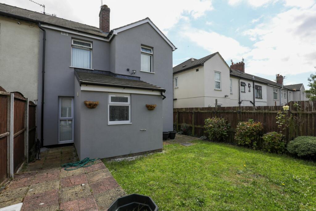
Northfield Road, Bootle, L20
By Purplebricks
£ 150,000
Purplebricks says ..
TO FOLLOW
- Bedrooms
- 3
- Bathrooms
- 2
The heatmap indicates the level of crime in the area. The color of the heatmap indicates the crime severity and recency.
Metrics Year-on-Year
- Average area value
- 191,658.00 £Increased by 6.39 %
- Average area rental value
- 863.00 £/moIncreased by 13.55 %
- Est rental Yield
- 5.40 %Increased by 6.72 %
- Crime Rate
- 5.00 %Unchanged by 0.00 %
from 180,149.00 £
from 760.00 £/mo
from 5.06 %
from 5.00 %
Agent Activity
Purplebricks created the listing.
Nearby Schools
| Name | Type | Ofsted | Distance |
|---|---|---|---|
| King'S Leadership Academy Hawthornes | Free Schools | Requires improvement | 0.54 KM |
| St Monica'S Catholic Primary School | Voluntary Aided School | Outstanding | 0.63 KM |
| Springwell Park Children'S Centre | Children's Centre | 0.66 KM | |
| Springwell Park Community Primary School | Community School | Good | 0.66 KM |
| Greenacre Community Nursery School | Local Authority Nursery School | Good | 0.87 KM |
Images


Nearby Streets
| Name | Average Price | Average Sqft | Distance |
|---|---|---|---|
| Smith Drive | £ 145,000 | 0 | 0.00 KM |
| Wheatley Avenue | £ 0 | 0 | 0.00 KM |
| Moss Lane | £ 215,000 | 0 | 0.00 KM |
| Westfield Road | £ 0 | 0 | 0.00 KM |
| Spencer Place | £ 150,000 | 0 | 0.00 KM |
Nearby Transport
| Name | NLC | TLC | Distance |
|---|---|---|---|
| Walton (Merseyside) | 2251 | WAO | 1.51 KM |
| Orrell Park | 2247 | OPK | 1.64 KM |
| Rice Lane | 2131 | RIL | 1.81 KM |
| Bootle New Strand | 2195 | BNW | 2.07 KM |
| Kirkdale | 2245 | KKD | 2.37 KM |
Nearby Listings
| Address | Price | Type | Score | Distance |
|---|---|---|---|---|
| Southport Road, Bootle, Merseyside, L20 | £ 170,000 | BUY | Unknown | 0.17 KM |
| Wolfenden Avenue, Bootle | £ 135,000 | BUY | 5 / 10 | 0.22 KM |
| Wolfenden Avenue, Liverpool, Merseyside, L20 | £ 99,950 | BUY | Unknown | 0.25 KM |
| Southport Road, Bootle, Merseyside, L20 | £ 180,000 | BUY | 6 / 10 | 0.29 KM |
| Lawton Avenue, Bootle, Merseyside, L20 | £ 145,000 | BUY | 5 / 10 | 0.34 KM |
Nearby Properties
| Address | Price | Distance |
|---|---|---|
| 15 Abbott Drive | £ 60,000 | 0.14 KM |
| 10 Abbott Drive | £ 36,000 | 0.14 KM |
| 40 Keenan Drive | £ 82,500 | 0.18 KM |
| 14 Keenan Drive | £ 38,000 | 0.18 KM |
| 7 Keenan Drive | £ 110,000 | 0.18 KM |