WA
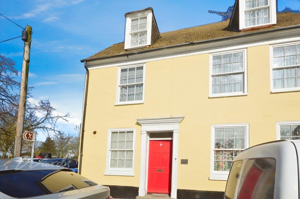
High Street Queenborough ME11
By Wards - Lettings
£ 800
Wards - Lettings says ..
One bedroom duplex apartment
- Bedrooms
- 1
- Bathrooms
- 1
The heatmap indicates the level of crime in the area. The color of the heatmap indicates the crime severity and recency.
Metrics Year-on-Year
- Average area value
- 285,583.00 £Decreased by 3.27 %
- Average area rental value
- 1,600.00 £/moIncreased by 34.23 %
- Est rental Yield
- 6.72 %Increased by 38.84 %
- Crime Rate
- 25.00 %Unchanged by 0.00 %
from 295,251.00 £
from 1,192.00 £/mo
from 4.84 %
from 25.00 %
Agent Activity
Wards - Lettings created the listing.
Nearby Schools
| Name | Type | Ofsted | Distance |
|---|---|---|---|
| Ladybird Children'S Centre | Children's Centre | 0.78 KM | |
| Queenborough School And Nursery | Academy Converter | 1.50 KM | |
| West Minster Primary School | Community School | Good | 2.09 KM |
| St Edward'S Catholic Primary School | Academy Sponsor Led | Good | 2.86 KM |
| Rose Street Primary School | Community School | Good | 3.10 KM |
Images


Nearby Streets
| Name | Average Price | Average Sqft | Distance |
|---|---|---|---|
| Coronation Crescent | £ 0 | 0 | 0.00 KM |
| River View | £ 0 | 0 | 0.00 KM |
| Borough Road | £ 0 | 0 | 0.00 KM |
| Newland Road | £ 0 | 0 | 0.00 KM |
| Alder Close | £ 0 | 0 | 0.00 KM |
Nearby Transport
| Name | NLC | TLC | Distance |
|---|---|---|---|
| Queenborough | 5176 | QBR | 0.88 KM |
| Swale | 5249 | SWL | 3.13 KM |
| Sheerness-On-Sea | 5184 | SSS | 3.26 KM |
| Kemsley | 5205 | KML | 6.10 KM |
| Sittingbourne | 5187 | SIT | 8.38 KM |
Nearby Listings
| Address | Price | Type | Score | Distance |
|---|---|---|---|---|
| Swale Cottage, Queenborough, ME11 | £ 980 | RENT | Unknown | 0.13 KM |
| Swale House, West Street, Queenborough, ME11 | £ 1,100 | RENT | Unknown | 0.18 KM |
| North Road, Queenborough | £ 1,450 | RENT | Unknown | 0.44 KM |
| High Street, Queenborough, ME11 | £ 1,200 | RENT | Unknown | 0.48 KM |
| Rushenden Road, ME11 | £ 1,450 | RENT | Unknown | 0.66 KM |
Nearby Properties
| Address | Price | Distance |
|---|---|---|
| Town House | £ 350,000 | 0.00 KM |
| Town Villa | £ 199,995 | 0.00 KM |
| 26 High Street | £ 110,000 | 0.00 KM |
| 9 High Street | £ 166,000 | 0.00 KM |
| 27 High Street | £ 189,000 | 0.00 KM |