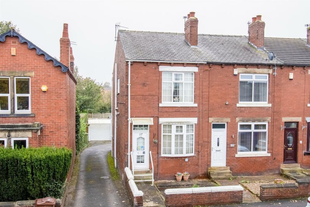

New Road, Middlestown
By Richard Kendall
£ 250,000
Richard Kendall says ..
No summary available.
- Bedrooms
- 3
- Bathrooms
- 2
The heatmap indicates the level of crime in the area. The color of the heatmap indicates the crime severity and recency.
Metrics Year-on-Year
- Average area value
- 266,869.00 £Decreased by 21.28 %
- Average area rental value
- 1,150.00 £/moIncreased by 29.21 %
- Est rental Yield
- 5.17 %Increased by 64.13 %
- Crime Rate
- 23.00 %Unchanged by 0.00 %
from 338,998.00 £
from 890.00 £/mo
from 3.15 %
from 23.00 %
Agent Activity
Richard Kendall created the listing.
Nearby Schools
| Name | Type | Ofsted | Distance |
|---|---|---|---|
| Middlestown Primary Academy | Academy Converter | Good | 0.30 KM |
| Denby Grange School | Other Independent Special School | Good | 2.08 KM |
| Thornhill Community Academy, A Share Academy | Academy Converter | 2.19 KM | |
| Horbury Bridge Church Of England Junior And Infant Academy | Academy Converter | Good | 2.77 KM |
| Sitlington Netherton Junior And Infant School | Community School | Good | 2.79 KM |
Images


Nearby Streets
| Name | Average Price | Average Sqft | Distance |
|---|---|---|---|
| Ramsey View | £ 0 | 0 | 0.00 KM |
| Back Lane | £ 0 | 0 | 0.00 KM |
| Wicken Tree Lane | £ 215,000 | 0 | 0.00 KM |
| Smithy Lane | £ 275,000 | 0 | 0.00 KM |
| New Hall Drive | £ 240,000 | 0 | 0.00 KM |
Nearby Transport
| Name | NLC | TLC | Distance |
|---|---|---|---|
| Dewsbury | 8326 | DEW | 5.88 KM |
| Ravensthorpe | 8519 | RVN | 6.71 KM |
| Batley | 8484 | BTL | 7.07 KM |
Nearby Listings
| Address | Price | Type | Score | Distance |
|---|---|---|---|---|
| Calderstone Court, Middlestown, Wakefield, WF4 | £ 580,000 | BUY | 7 / 10 | 0.15 KM |
| Calderstone Court, Middlestown, Wakefield | £ 410,000 | BUY | 5 / 10 | 0.16 KM |
| Nell Gap Lane, Middlestown, WF4 4PF | £ 195,000 | BUY | 5 / 10 | 0.21 KM |
| Nell Gap Lane, Middlestown, WF4 4PG | £ 152,000 | BUY | 7 / 10 | 0.21 KM |
| Nell Gap Lane, Middlestown, Wakefield | £ 165,000 | BUY | 6 / 10 | 0.21 KM |
Nearby Properties
| Address | Price | Distance |
|---|---|---|
| 125 New Road | £ 100,000 | 0.03 KM |
| 119 New Road | £ 94,000 | 0.03 KM |
| 141 New Road | £ 142,000 | 0.03 KM |
| 139 New Road | £ 48,000 | 0.04 KM |
| 137 New Road | £ 160,000 | 0.06 KM |