
YO
Helmsdale, Manchester, M28
By Yopa
£ 275,000
Yopa says ..
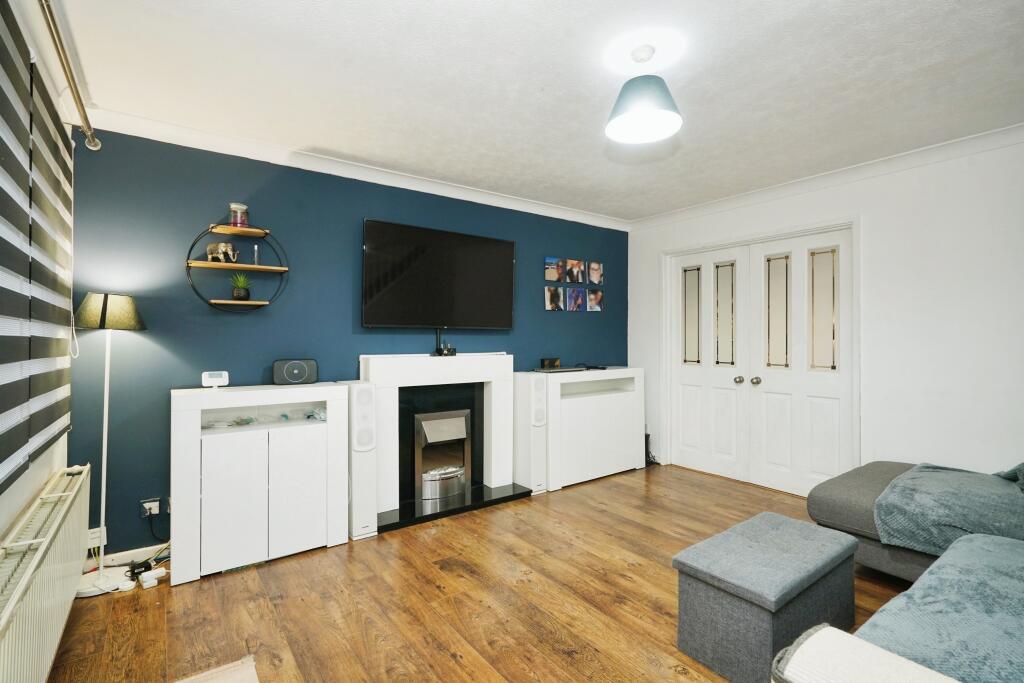
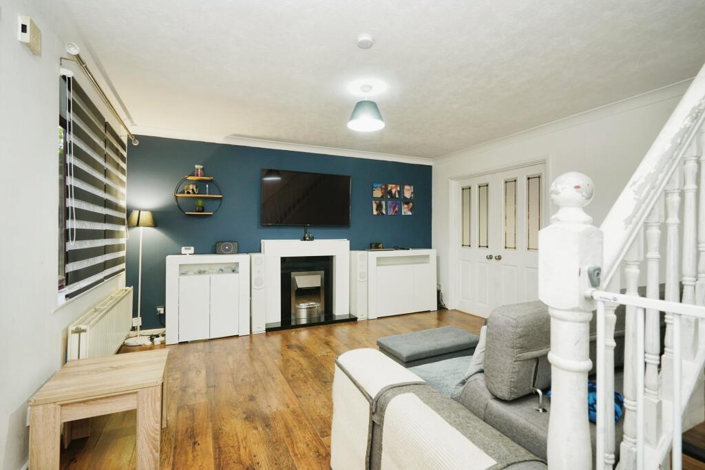
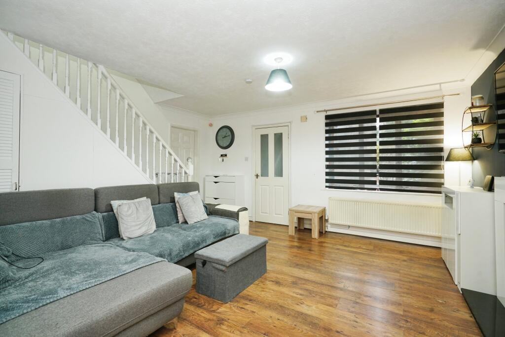
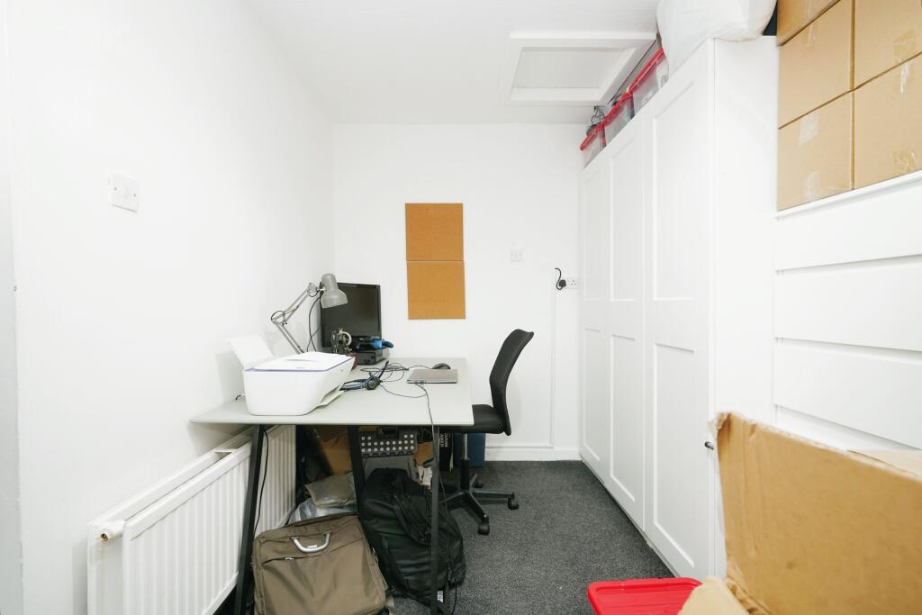
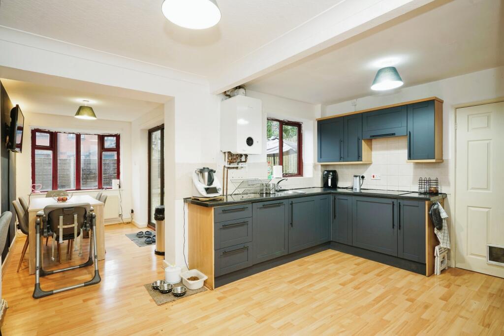
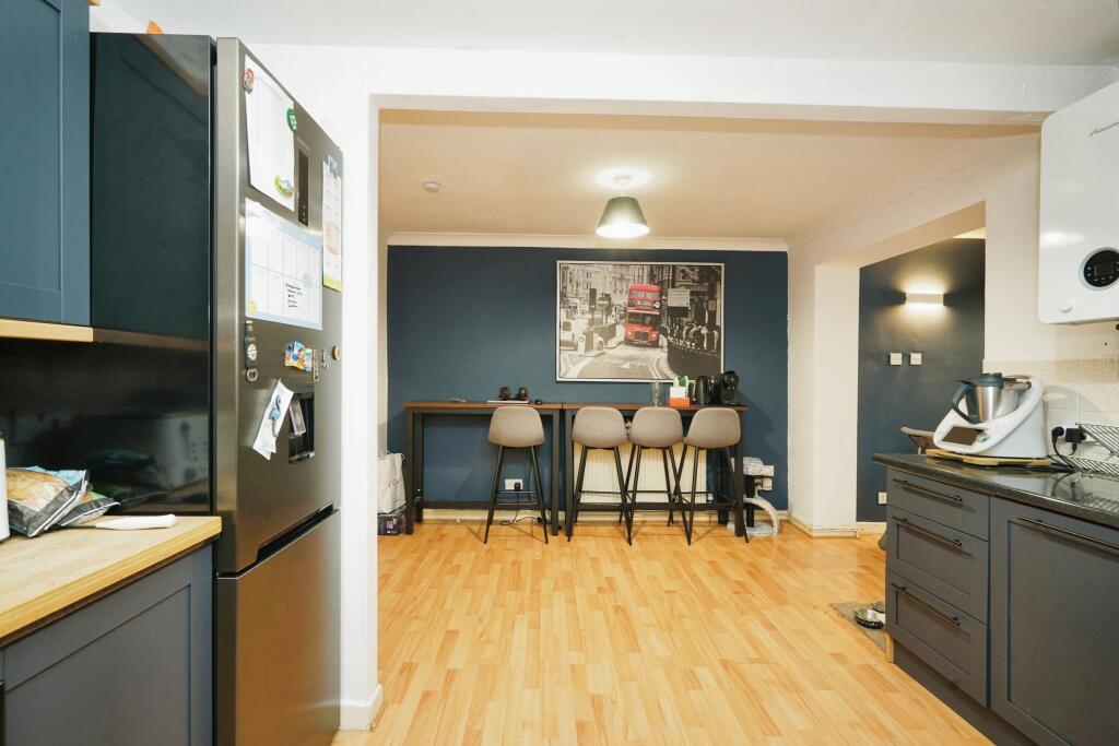
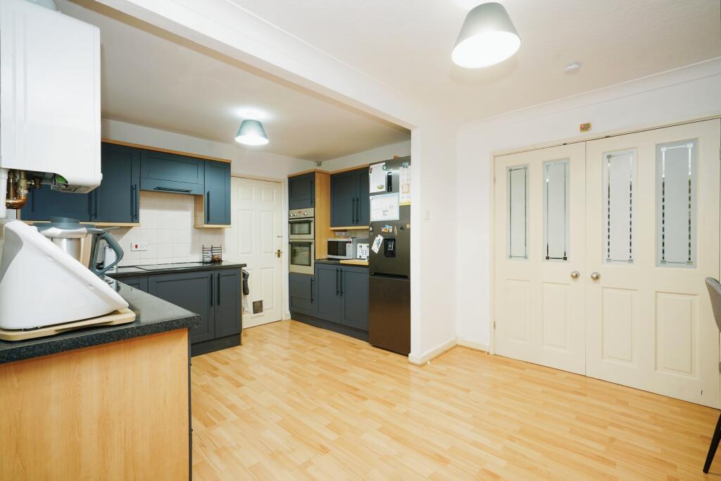
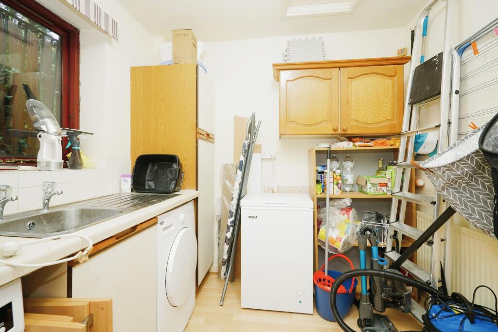
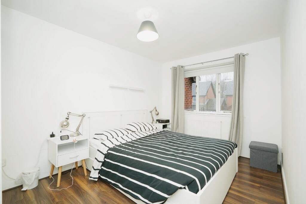
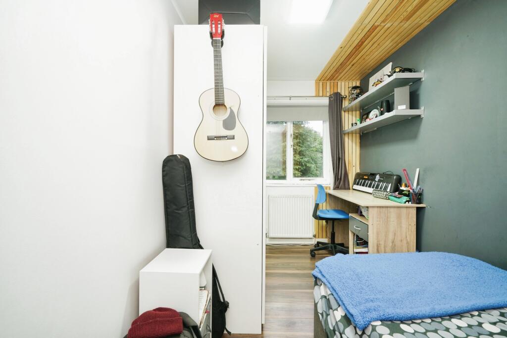
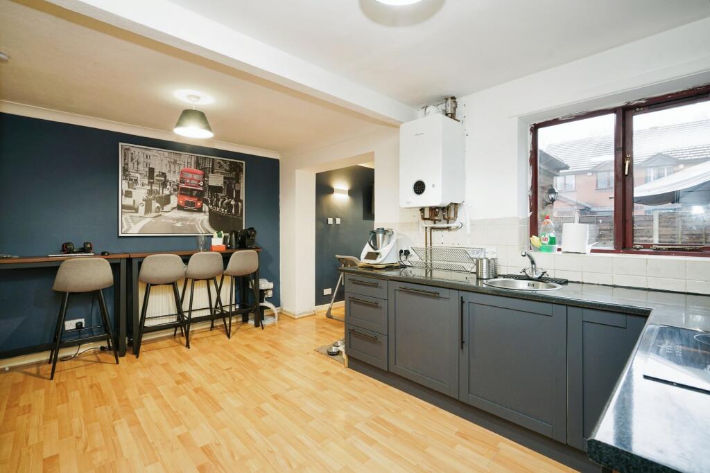
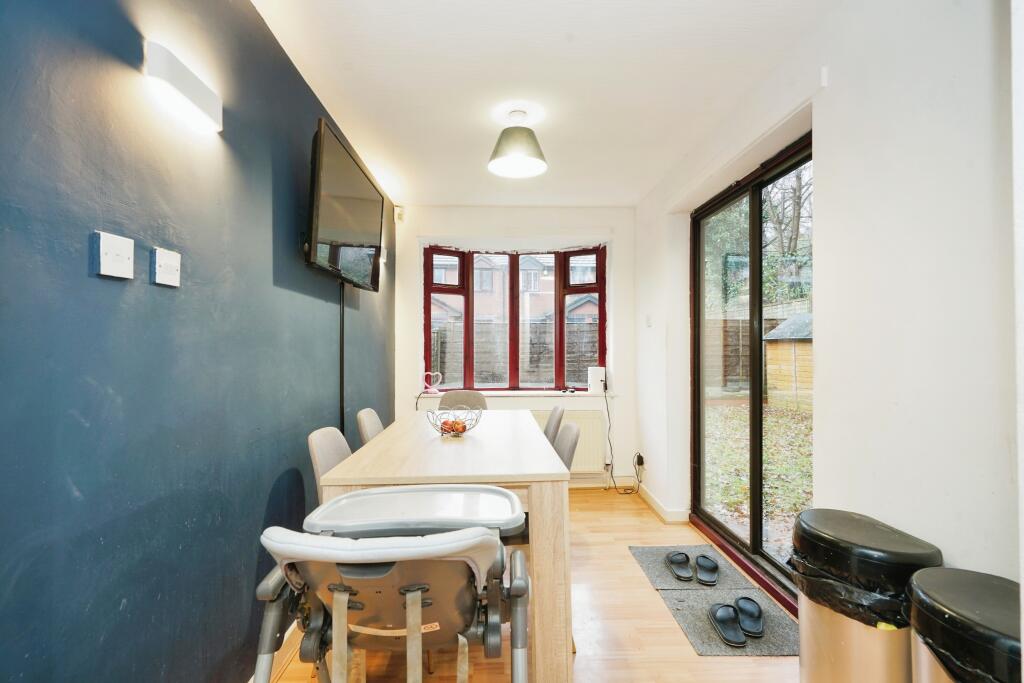
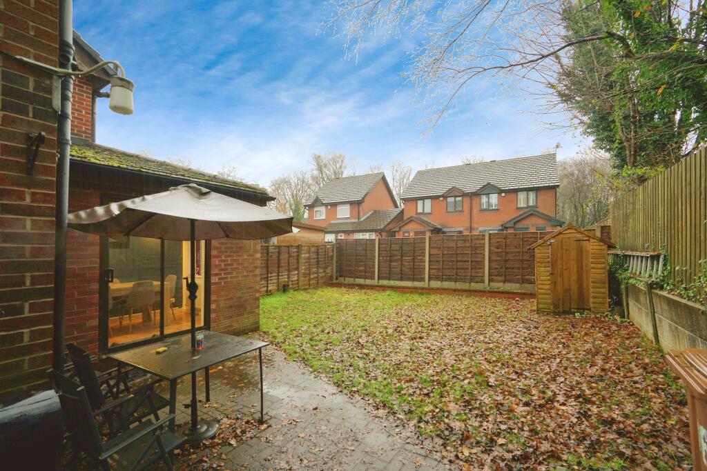
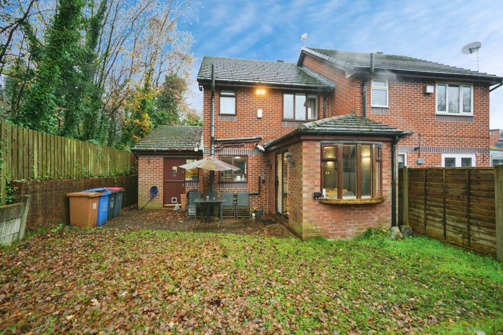
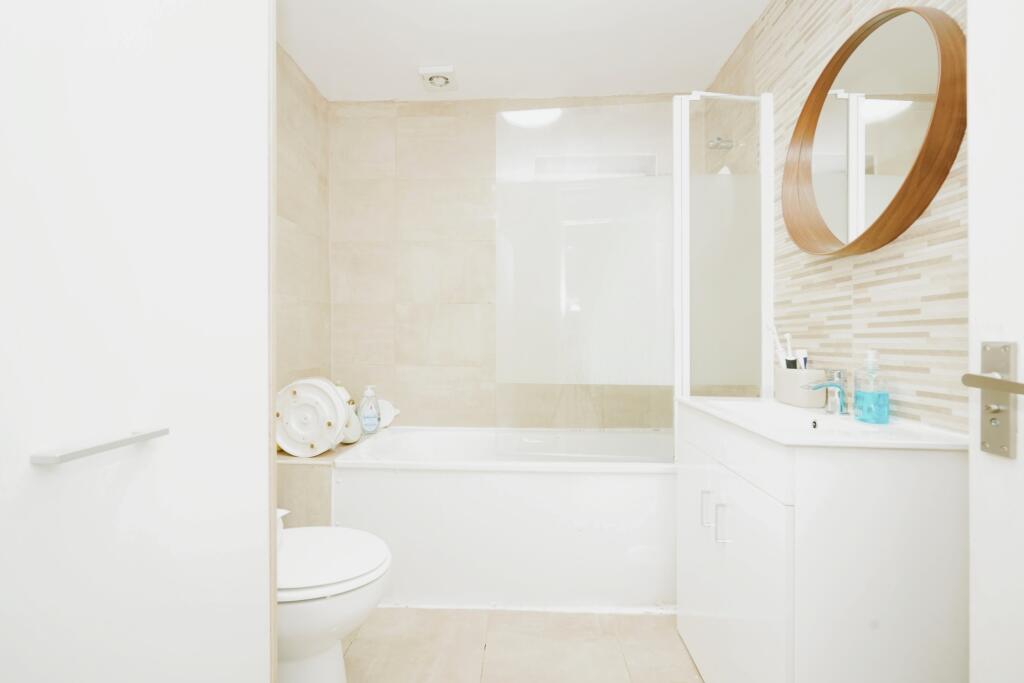
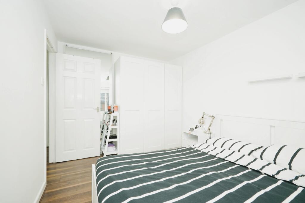
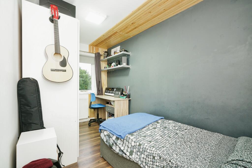
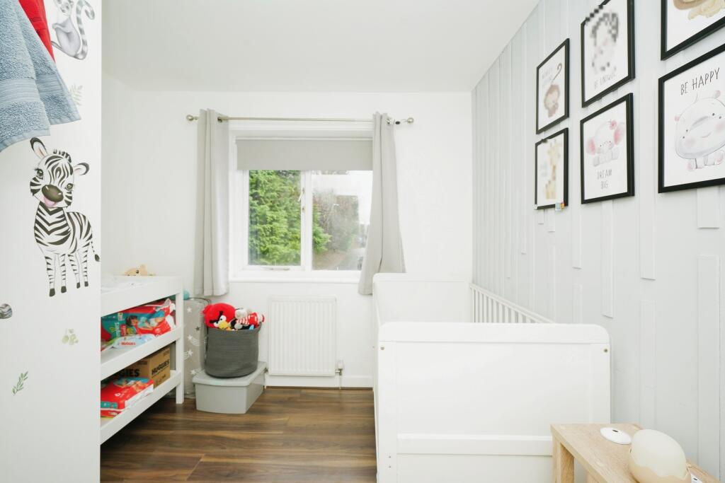
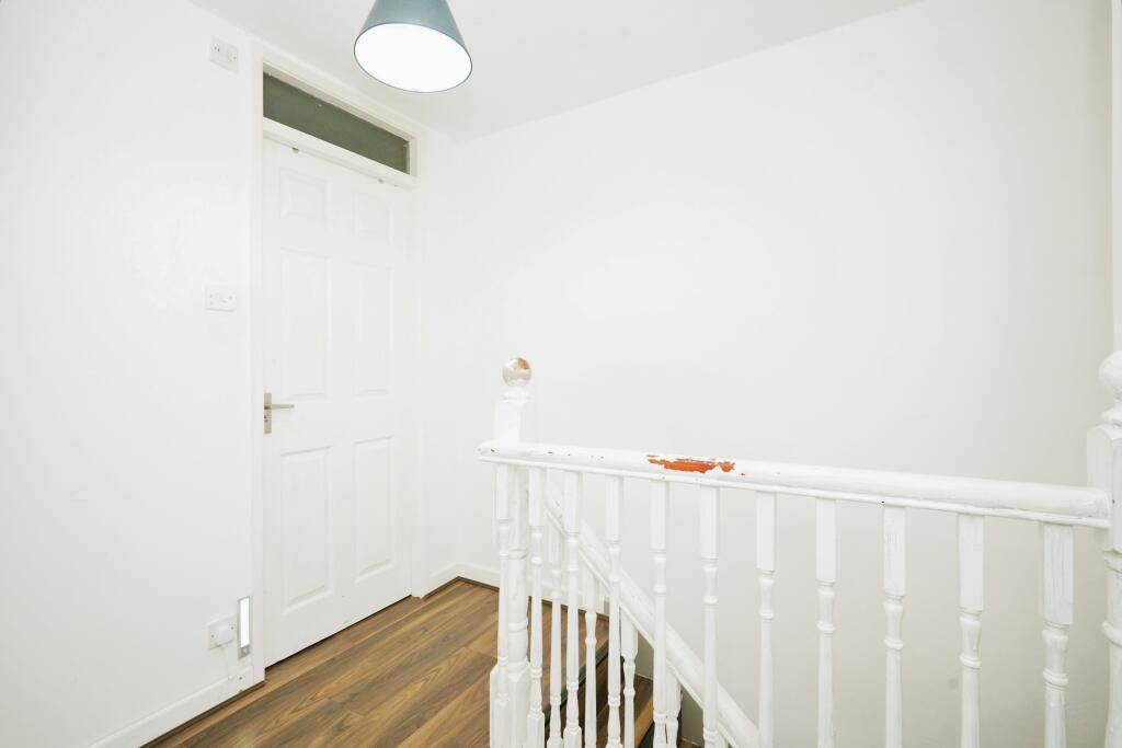
!!!!!! LARGE FOUR BEDROOM SEMI DETACHED FAMILY HOME IN QUIET LEAFY CUL-DE-SAC IN WORSLEY !!!! !!!!! WALKING DISTANCE TO WALKDEN TRAIN STATION AND ELLESMERE SHOPPING CENTRE !!!!!!
- Bedrooms
- 4
- Bathrooms
- 1


Leaflet © OpenStreetMap contributors
The heatmap indicates the level of crime in the area. The color of the heatmap indicates the crime severity and recency.
Metrics Year-on-Year
- Average area value
- 306,773.00 £Increased by 16.81 %
- Average area rental value
- 980.00 £/moDecreased by 15.74 %
- Est rental Yield
- 3.83 %Decreased by 27.87 %
- Crime Rate
- 0.00 %
from 262,618.00 £
from 1,163.00 £/mo
from 5.31 %
from 0.00 %
Agent Activity
Yopa created the listing.
Nearby Schools
| Name | Type | Ofsted | Distance |
|---|---|---|---|
| James Brindley Community Primary School | Community School | Outstanding | 0.67 KM |
| Mesne Lea Primary School | Community School | Good | 0.95 KM |
| St Paul'S Cofe Primary School | Voluntary Controlled School | Good | 1.03 KM |
| The Lowry Academy | Academy Sponsor Led | 1.09 KM | |
| St Paul'S Heathside Children'S Centre | Children's Centre Linked Site | 1.12 KM |
Images

Nearby Streets
| Name | Average Price | Average Sqft | Distance |
|---|---|---|---|
| Pinfold Road | £ 260,000 | 0 | 0.00 KM |
| Kiveton Close | £ 280,000 | 0 | 0.00 KM |
| Bedford Avenue | £ 365,000 | 0 | 0.00 KM |
| Lime Grove | £ 0 | 0 | 0.00 KM |
| St Mark's Crescent | £ 400,000 | 0 | 0.00 KM |
Nearby Transport
| Name | NLC | TLC | Distance |
|---|---|---|---|
| Walkden | 2612 | WKD | 0.50 KM |
| Farnworth | 2811 | FNW | 3.66 KM |
| Kearsley (Manchester) | 2605 | KSL | 3.93 KM |
| Moses Gate | 2606 | MSS | 4.03 KM |
| Moorside | 2799 | MSD | 5.44 KM |
Nearby Listings
| Address | Price | Type | Score | Distance |
|---|---|---|---|---|
| Helmsdale, Manchester, M28 | £ 275,000 | BUY | Unknown | 0.00 KM |
| St. Georges Crescent, Worsley, Manchester, Greater Manchester, M28 | £ 250,000 | BUY | Unknown | 0.13 KM |
| St. Georges Crescent, Worsley, Manchester, Greater Manchester, M28 | £ 310,000 | BUY | 7 / 10 | 0.13 KM |
| St. Georges Crescent, Worsley, Manchester, Greater Manchester, M28 | £ 350,000 | BUY | Unknown | 0.14 KM |
| St. Georges Crescent, Worsley, Manchester | £ 325,000 | BUY | 7 / 10 | 0.20 KM |
Nearby Properties
| Address | Price | Distance |
|---|---|---|
| 11 Helmsdale | £ 176,000 | 0.02 KM |
| 10 Helmsdale | £ 168,000 | 0.02 KM |
| 3 Helmsdale | £ 135,000 | 0.02 KM |
| 14 Helmsdale | £ 161,000 | 0.02 KM |
| 8 Helmsdale | £ 142,000 | 0.02 KM |