HA
StAlbans Road, Hemel Hempstead
By haart
£ 1,450
haart says ..
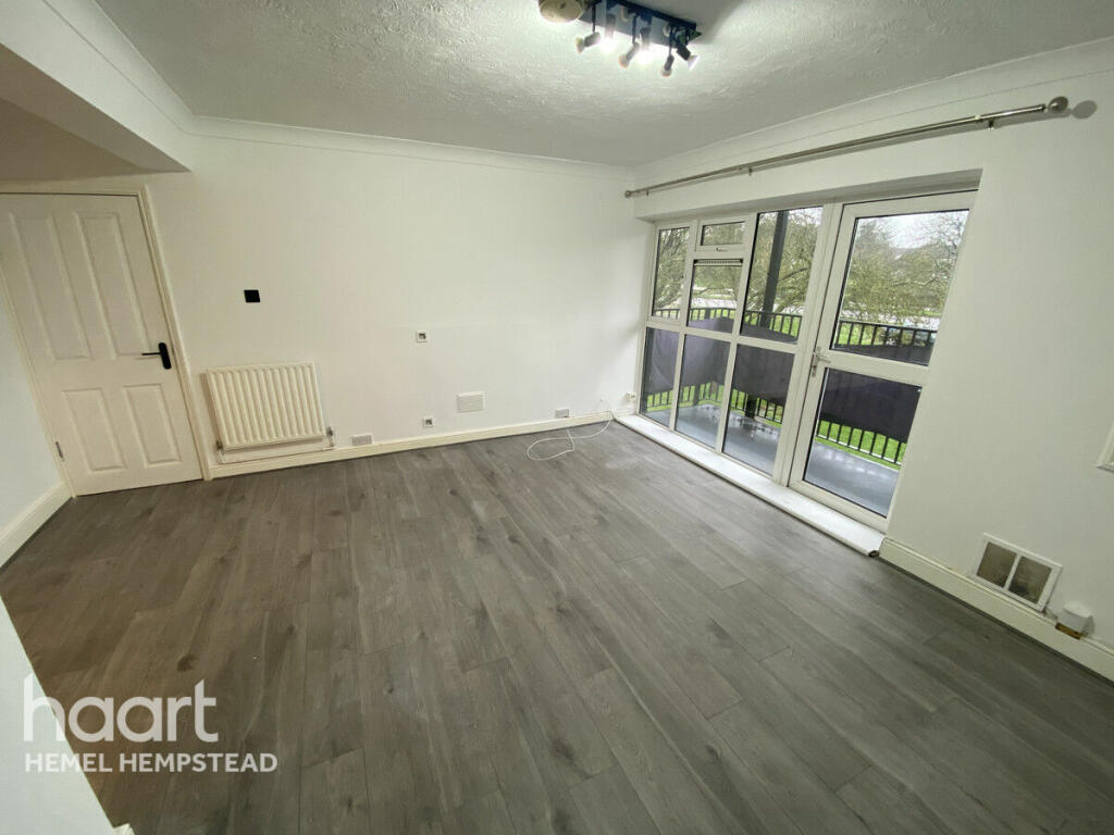
2 Bedroom apartment
- Bedrooms
- 2
- Bathrooms
- 1
The heatmap indicates the level of crime in the area. The color of the heatmap indicates the crime severity and recency.
Metrics Year-on-Year
- Average area value
- 463,611.00 £Increased by 2.21 %
- Average area rental value
- 1,649.00 £/moDecreased by 12.98 %
- Est rental Yield
- 4.27 %Decreased by 14.77 %
- Crime Rate
- 9.00 %Unchanged by 0.00 %
from 453,571.00 £
from 1,895.00 £/mo
from 5.01 %
from 9.00 %
Agent Activity
haart created the listing.
Nearby Schools
| Name | Type | Ofsted | Distance |
|---|---|---|---|
| Saint Albert The Great Catholic Primary School | Voluntary Aided School | Good | 0.31 KM |
| The Adeyfield Academy | Academy Sponsor Led | 0.48 KM | |
| Dacorum Education Support Centre | Pupil Referral Unit | Outstanding | 0.53 KM |
| The Reddings Primary School | Community School | Good | 0.76 KM |
| Hobbs Hill Wood Primary School | Community School | Good | 0.77 KM |
Images


Nearby Streets
| Name | Average Price | Average Sqft | Distance |
|---|---|---|---|
| Tiree Close | £ 400,000 | 0 | 0.00 KM |
| Rice Close | £ 0 | 0 | 0.00 KM |
Nearby Transport
| Name | NLC | TLC | Distance |
|---|---|---|---|
| Apsley | 1430 | APS | 2.65 KM |
| Kings Langley | 1392 | KGL | 4.92 KM |
| Hemel Hempstead | 1391 | HML | 4.97 KM |
Nearby Listings
| Address | Price | Type | Score | Distance |
|---|---|---|---|---|
| StAlbans Road, Hemel Hempstead | £ 1,400 | RENT | Unknown | 0.00 KM |
| St. Albans Road, HEMEL HEMPSTEAD | £ 1,450 | RENT | Unknown | 0.01 KM |
| Belsize Close, HEMEL HEMPSTEAD | £ 1,500 | RENT | Unknown | 0.17 KM |
| Belsize Close, HEMEL HEMPSTEAD | £ 1,650 | RENT | Unknown | 0.17 KM |
| Longlands, HEMEL HEMPSTEAD | £ 1,400 | RENT | Unknown | 0.20 KM |
Nearby Properties
| Address | Price | Distance |
|---|---|---|
| 327 St Albans Road | £ 127,000 | 0.01 KM |
| 341 St Albans Road | £ 214,000 | 0.01 KM |
| 301 St Albans Road | £ 150,000 | 0.01 KM |
| 329 St Albans Road | £ 226,000 | 0.01 KM |
| 297 St Albans Road | £ 490,000 | 0.01 KM |